CSS552 Final Project
Ray Tracing Height Fields
By
Aran Shirdavani and Frank Ow
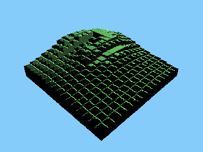
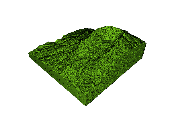
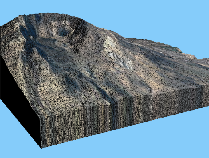
The problem is to create a realistic looking terrain, simulating earth, a rock, planetoid, or any other natural rocky formation without having to actually plot thousands of vertices by hand. Traditional Ray Tracing for Terrain is first creating the 3D Mesh and ray tracing each triangle on the 3D Mesh. This will be expensive to generate a large terrain image.
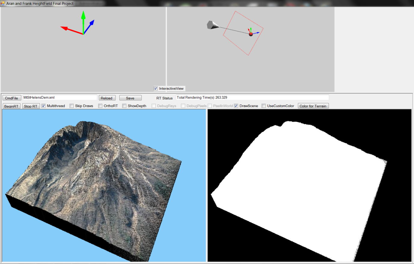
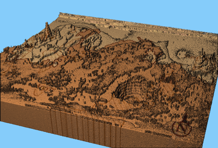
The solution is to calculate realistic looking terrain by using Height Fields. By using the Height Fields method we can skip to create 3D Mesh in process of generate a terrain image. We have using 2 methods to carry out this project.
Huamin Qu, Feng Qiu, Nan Zhang, Arie Kaufman and MinWan. Ray Tracing Height Fields. Center for Visual Computing and Department of Computer Science State University of New York at Stony Brook, Stony Brook, Ny 11794-4400 The Boeing Company, P.O. Box 3707, M/C 7L-40, Seattle,WA 98124-2207