 BACKGROUND AND CONTEXT
 |
|
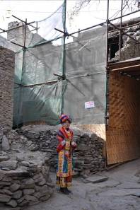
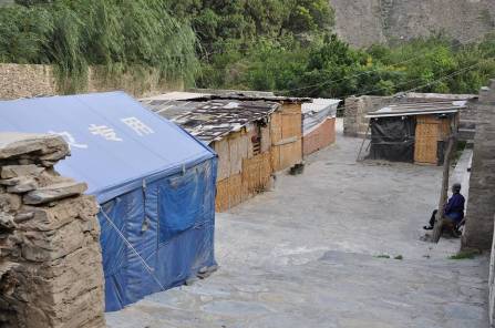
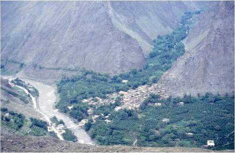
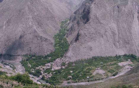
  Figure 4 Earthquake impacts in Taoping: (a left) damage to historic village houses; (b right) government-issued blue emergency tents and resident-built temporary shelters.   Figure 5 (left) Taoping prior to development of new tourist village. Figure 6 (right) Taoping clearing agricultural land for new tourist village, c.2007. |
Taoping is located just 17km from the earthquake fault, and although the quake rendered most of the old buildings uninhabitable, forcing residents to live in temporary shelters, the villagers suffered very little loss of life or limb and structural damage seemed to be less than in most other villages (Figure 4). Scientific analysis has not yet verified this fact, or if it is due to Taoping’s siting and construction, but in the meantime the media and heritage preservation authorities have promoted Taoping’s traditional construction techniques as having special seismic resistance. Before the earthquake, Taoping families invested many of their own resources in tourism, including the start of construction of a new village to cater to tourists adjacent to the old village. The new village was to consist of large detached, reinforced-concrete houses in quasi-vernacular style, each constructed by an individual villager family. In the process, the village sacrificed much of its agricultural land (Figures 5, 6 and 7). Regional investments included hydropower dams and highways along the Zagunao River, and the armoring of slopes and riverbanks, resulting in the loss of aquatic life, acceleration of drainage and reduction of natural water retention (Figure 8). |
| Previous Next | |