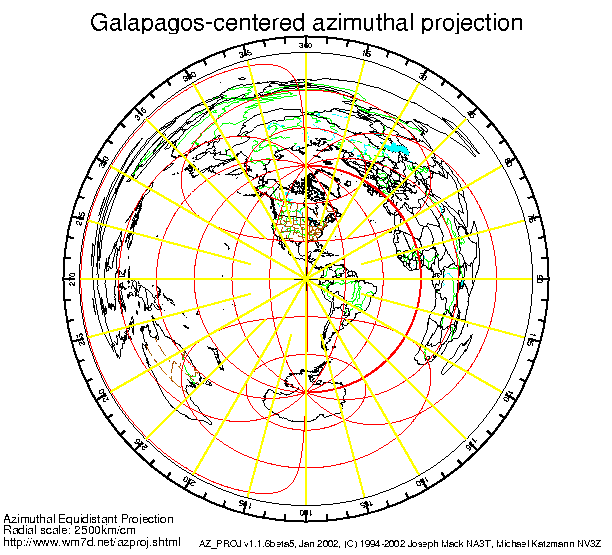
The Galapagos Archipelago is located on the equator 1,000 km from the coast of Ecuador, from approximately 1 degree north to 1 degree south latitude, and from about 90 to 92 degrees west longitude. The reader may be surprised to learn this is the same longitude as New Orleans, Louisiana, USA.
Flag of the Galapagos drawn by Peter Baker
The Islands were first recorded by Tomas de Berlanga, the Bishop of Panama, in 1535. His ship had been caught in a dead calm (the well-known equatorial doldrums) and was able to reach the islands to search for fresh water, which was not found in sufficient quantity. The Inca are said to have found the islands first, however no hard evidence has been found to support this claim.
From the 1500's to the 1800's the islands were used as a base and haven by pirates. English buccaneer William Ambrose Cowley drew up navigational charts and named the islands after English royalty. The English names can still be seen alongside the present Spanish names in many sources, as in parentheses in the map below.
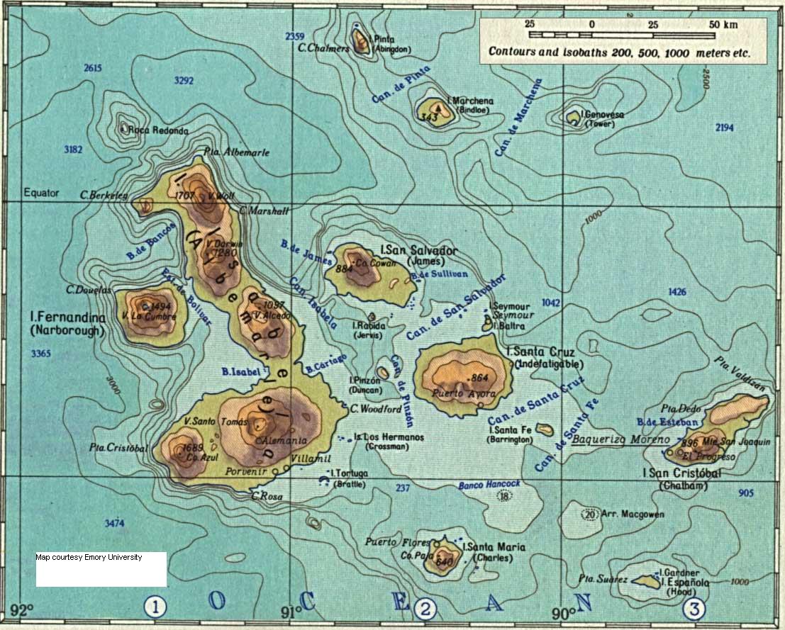
Map image courtesy Emory University
The relief map above shows the topography of the Galapagos. The contour lines and isobaths show the gradual slope characteristic of shield volcanoes and also give a clear picture of the platform supporting the islands, mentioned in the geology page. The platform drops off more steeply to the west where the volcanoes are newer.