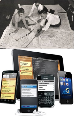
This course is an advanced level computer science elective in the areas
of Geographic Information Systems (GIS). The course addresses spatial
databases, in general, and focuses on their applications in GIS, in
particular.
While traditional information systems deal with objects that are of
numeric or alphanumeric data types, a wide set of applications deal with
objects that have spatial extent (e.g., points, lines and polygons) or
that are geographic in nature (i.e., representable on a map). "Are
spatial data types special?" YES and NO! This course addresses how to
represent, store, index, and process spatial objects and focuses on
their application in the field of Geographic Information Systems (GIS).
With the growing interest in spatial databases (e.g., Microsoft SQL
Server Spatial Library, IBM Spatial Solutions, Oracle Spatial ), with
the ability to access a wealth of digitized maps (e.g., Google
maps, Bing maps, Navteq), with the availability of rich Geographic
Information Systems (e.g., ESRI ArcGis), and with the advances in GPS
devices (e.g., Garmin, TomTom) and smart phones(e.g., iPhones, Androids,
and Windows Phones), geospatial data management and location based
services have been crucial to industry at all scales.
This course provides a good stretch to the students in the GIS field
starting from theoretical basic concepts and ramping up quickly to
provide a hands-on experience with various commercial GIS systems. The
course is intended to motivate the next generation of geospatial
researchers and, meanwhile, is geared up to plant the seed of an
engineer who leads a career in Geographic Information Systems.
If you want to know what other GIS students have done in their course
projects, please visit:
http://www.mohamedalionline.com/Videos/UWT_GIS_Class_2012.htm
Prerequisites:
DATA STRUCTURES.
We also recommend that all students have prior experience with
programming languages such as C/C++/C#/Java. Students with no
programming experience should not take this course.
The links to readings will be made available during the term. We will
use a set of research papers. Your mentors or instructor may assign
specific readings to individual students. We will also cover topics in
the following textbook:
“Spatial Databases: With Application to GIS (The Morgan Kaufmann
Series in Data Management Systems) by Philippe Rigaux, Michel Scholl,
and Agnes Voisard (Jun 1, 2001)”
