Water Resources and Pollution:
Estuarine Field Studies
University of Washington, Tacoma
TESC 431: Spring 2006
|
Water Resources and Pollution:Estuarine Field StudiesUniversity of Washington, TacomaTESC 431: Spring 2006 |
|
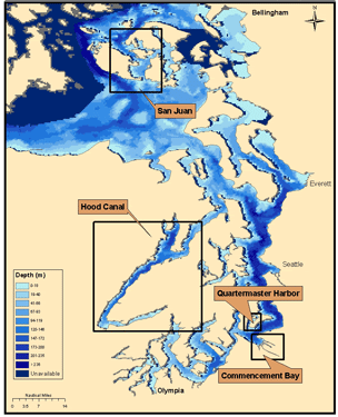
| Commencement Bay | Quartermaster Harbor | Hood Canal | San Juan Islands |
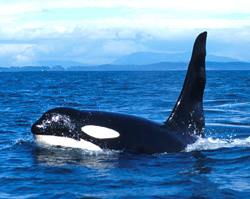
www.sanjuansafaris.com |
|
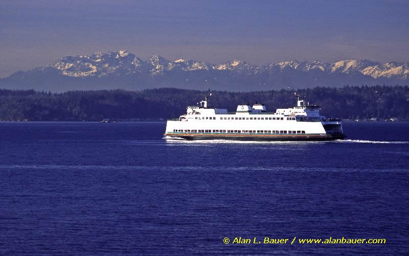
www.alanbauer.com |
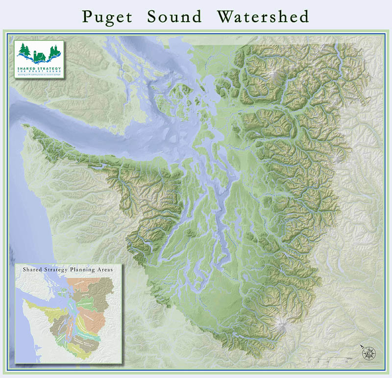
The Puget Sound
|
www.sharedsalmonstrategy.org
|
Four Areas of Study
Located in the southern end of the main basin of the Puget Sound, Commencement Bay is fed a large influx of fresh water by the Puyallup River. The bay is surrounded by industry such as the paper mill, and is a shipping major port in this area. The city of Tacoma also has a wastewater treatment plant that discharges treated wastewater deep into the bay. Data was collected courtesy with the assistance of the City of Tacoma's boat and captain (City of Tacoma - Public Works).
|
A relatively warm harbor located just north of Commencement Bay, Quartermaster Harbor sits between Maury and Vashon Islands. The sampling of the shallow harbor showed an increase of algal productivity with an abundance of plankton, which can negatively affect the sea life that live in the harbor. Data was collected courtesy with the assistance of the City of Tacoma's boat and captain (City of Tacoma - Public Works). Located west of the main basin area, Hood Canal is a long, deep fjord extending approximately 90 kilometers in length. The shallow sill at the entrance to the canal dramatically reduces the amount of ocean water that enters the canal with the flood tide, in addition the sill prevents the ebb tide from carrying out the canal water in an efficient manner creating a stagnant condition depriving the deepest and southernmost portion of the canal of dissolved oxygen. The canal continues to be studied by the Hood Canal Salmon Enhancement Group, Washington State Department of Ecology, and the University of Washington. The San Juan Islands are located between the Strait of Georgia and the Strait of Juan de Fuca. The surrounding water is strongly influenced by the tidal currents. The Strait of Juan de Fuca is where the incoming salty Pacific Ocean waters meet the outgoing fresh river water that is fed into the various parts of the Puget Sound. The sampling was conducted with the assistance of the crew of the Research Vessel Centennial, and the University of Washington Friday Harbor Laboratories.
|
|
Links of Interest:
Water Resources and Pollution Spring 2005
Water Resources and Pollution Spring 2003
Water Resources and Pollution Spring 2002
Water Resources and Pollution Fall 2002
Department of Ecology
Hood Canal Salmon Enhancement Group
City of Tacoma: Public Works
NOAA (Nation Oceanic and Atmospheric Association)Acknowledgements:
We would like to offer our sincere thanks and gratitude to the following groups and individuals who graciously volunteered their time and resources to aid in our study:
Dr. Cheryl Greengrove - UWT Professor and Environmental Science Program Coordinator
Rick Fuller - City of Tacoma
Mike Rhubright - City of Tacoma
Renee Rose and Volunteers - Hood Canal Salmon Enhancement Group (Water Quality)
Crew of the Centennial, Friday Harbor Labs
Dave Thorsen - UWS, College of Oceans and Fishery Sciences
| Commencement Bay | Quartermaster Harbor | Hood Canal | San Juan Islands |
| Top |
Web page created by Alexander Abrahamson and Mary Goreczny