Introduction to Geographic Information Systems in Forest Resources
| Introduction to Geographic Information Systems in Forest Resources |
|
|||||||||||||||
|
|||||||||||||||
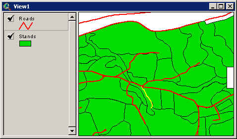
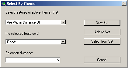
The process is similar to the selection of stands within a certain age range, except first a particular road (the 1050 Road) is selected.
Once the road is selected, we can use the spatial location of the selected road to make yet another selection against forest stands. The spatial selection will be all stands within 5 feet of the selected road segment.
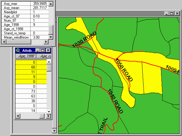
The following graphic shows a series of selected stands near the 1050 Road. The stands show up on the map in the selection color of yellow. To the lower left, the attribute table for the stands layer shows records for the selected stands. The age in 1998 is displayed in one of the fields. At the upper left is a selection of all the attributes of one particular stand.
|
|||||||||||||||

|
The University of Washington Spatial Technology, GIS, and Remote Sensing Page is supported by the School of Forest Resources |
School of Forest Resources |
