Introduction to Geographic Information Systems in Forest Resources
| Introduction to Geographic Information Systems in Forest Resources |
|
|||||||||||||||
|
|||||||||||||||
Although most GIS professionals become more interested in solving analytical puzzles using the tools provided by a GIS, most onlookers are most impressed by the high-quality cartographic output from a GIS.
GIS has advantages over manually producing maps:
There are some drawbacks to GIS produced-maps:
The lab exercises throughout the quarter will show how easy it is to create GIS-based maps (and how difficult it is to create really good GIS maps).
Here are a few examples of some GIS-produced maps.
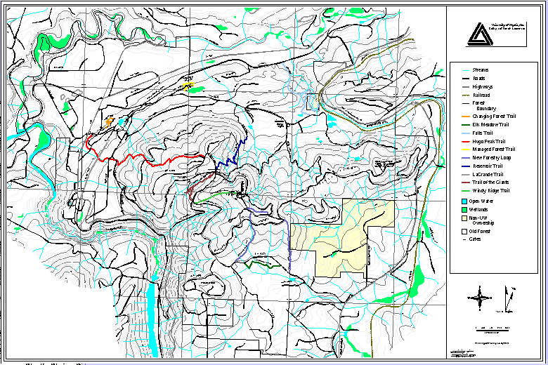
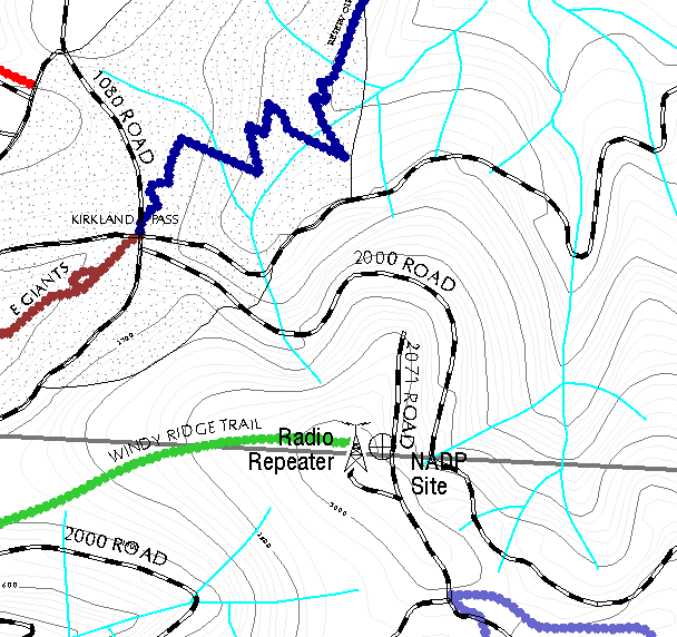
A topographic map with a close-up
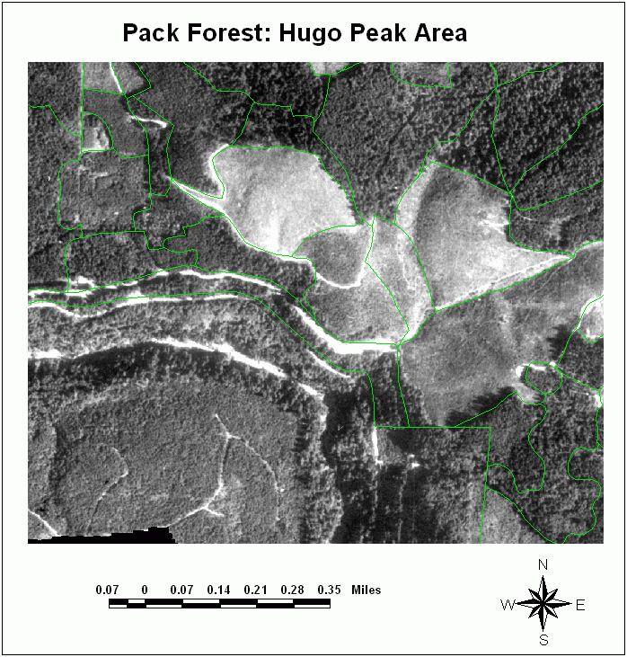
An orthophoto map image of stands at Pack Forest
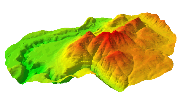
A 3-D visualization of Pack Forest's landform
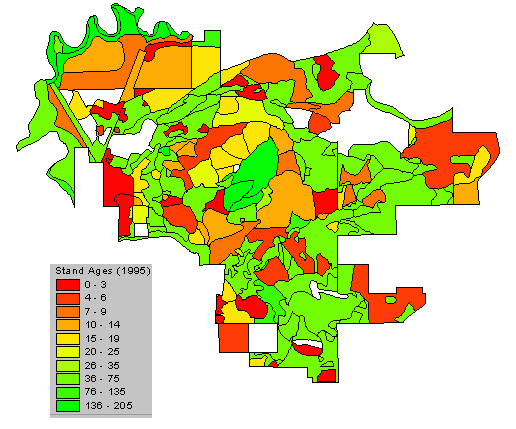
Stand age classes from 1995 for Pack Forest
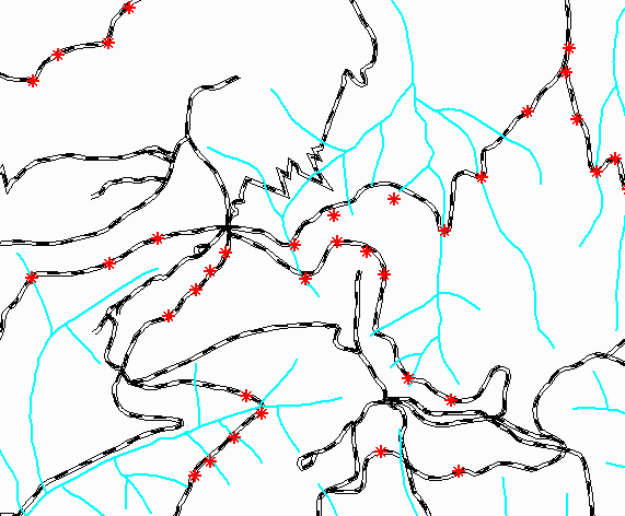
Culvert locations in part of Pack Forest.
What do you think caused errors on this map?
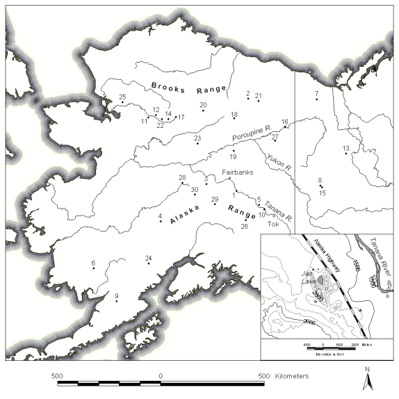
Research documentation for publication (CFR
graduate Lisa Carlson's data)
|
|||||||||||||||

|
The University of Washington Spatial Technology, GIS, and Remote Sensing Page is supported by the School of Forest Resources |
School of Forest Resources |
