| Home |
| About Us |
| Methods |
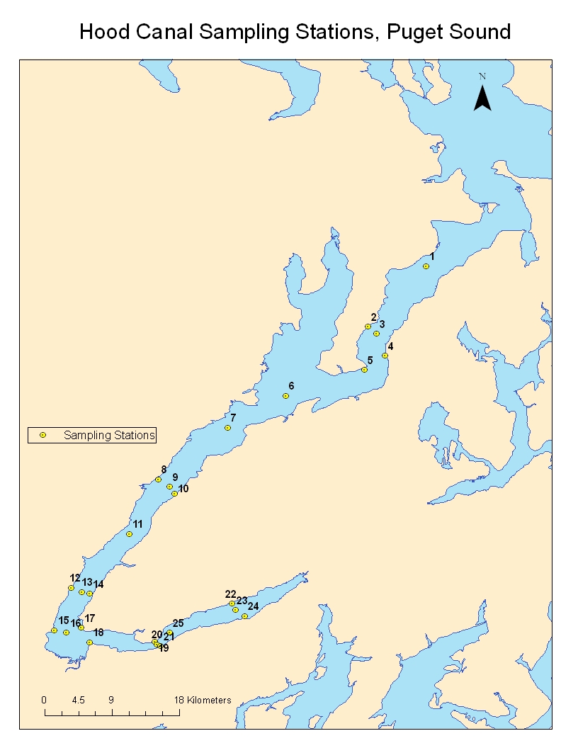
| Sample Sites |
| Data Repository |
| Acknowledgements |
Hood Canal |
Hood Canal is located in western Washington State and is part of the Puget Sound water body. The depths of the canal vary between a depth of 175m and 40m or less. A 180 degree bend called the Great Bend and other geographical features affect the water flow in and out of Hood Canal. Historically the shape and geography of Hood Canal produces periods of low oxygen levels. |
Click on map to enlarge
![]()
|
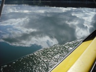
Hood Canal water reflection. Day was partly cloudy.
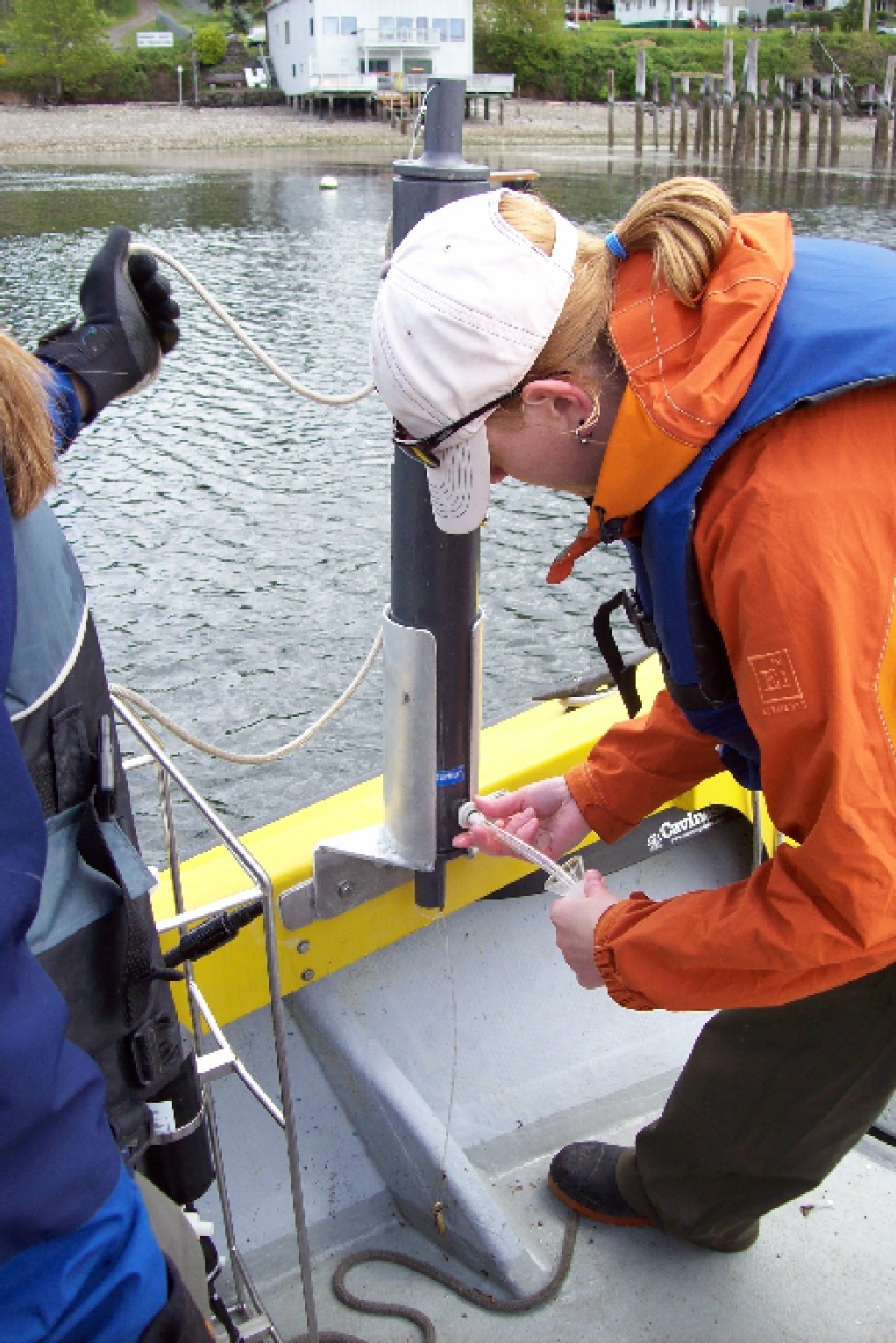
Kelly enjoying the sights. Carrie getting DO sample.
UW boat Wheelander and local dog. |


.JPG)
| Station | Site Name | Latitude | Longitude | Depth (m) |
1 |
Sill | 47.81337 | -122.699 | 54.5 |
3 |
Center | 47.73163 | -122.759 | 102 |
5 |
Hazel Point | 47.68795 | -122.773 | 22.7 |
6 |
Calibration | 47.65707 | -122.868 | 138 |
7 |
North Holly | 47.61852 | -122.938 | 171 |
9 |
Center Hama Hama | 47.54722 | -123.008 | 140 |
11 |
North Dewatto | 47.49013 | -123.057 | 155 |
13 |
Bam Ban Center | 47.42025 | -123.114 | 122 |
16 |
Potlatch Central | 47.37113 | -123.132 | 82.7 |
18 |
Potlatch South | 47.35976 | -123.105 | 28 |
20 |
Sisters Central | 47.3569 | -123.023 | 50.9 |
23 |
Lynch Central | 47.3983 | -122.928 | 17 |
25 |
Orca Bay | 47.37113 | -123.008 | 31 |
*Exact locations of Hood Canal stations are displayed above. Latitude, Longitude and Depth were recorded in decimal minutes and meters.