| Home |
| About Us |
| Methods |
| Sample Sites
|
| Data Repository |
| Acknowledgements |
| Welcome to the UWT Estuarine Field Studies Class |
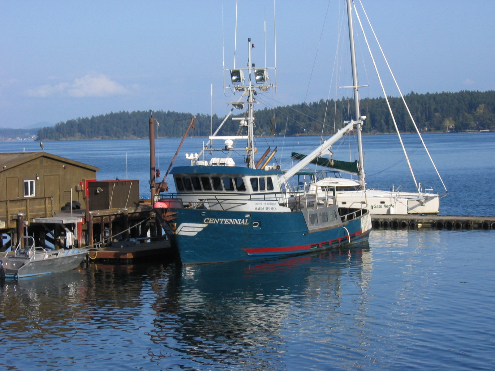
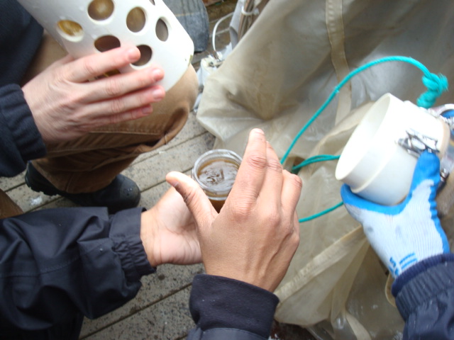
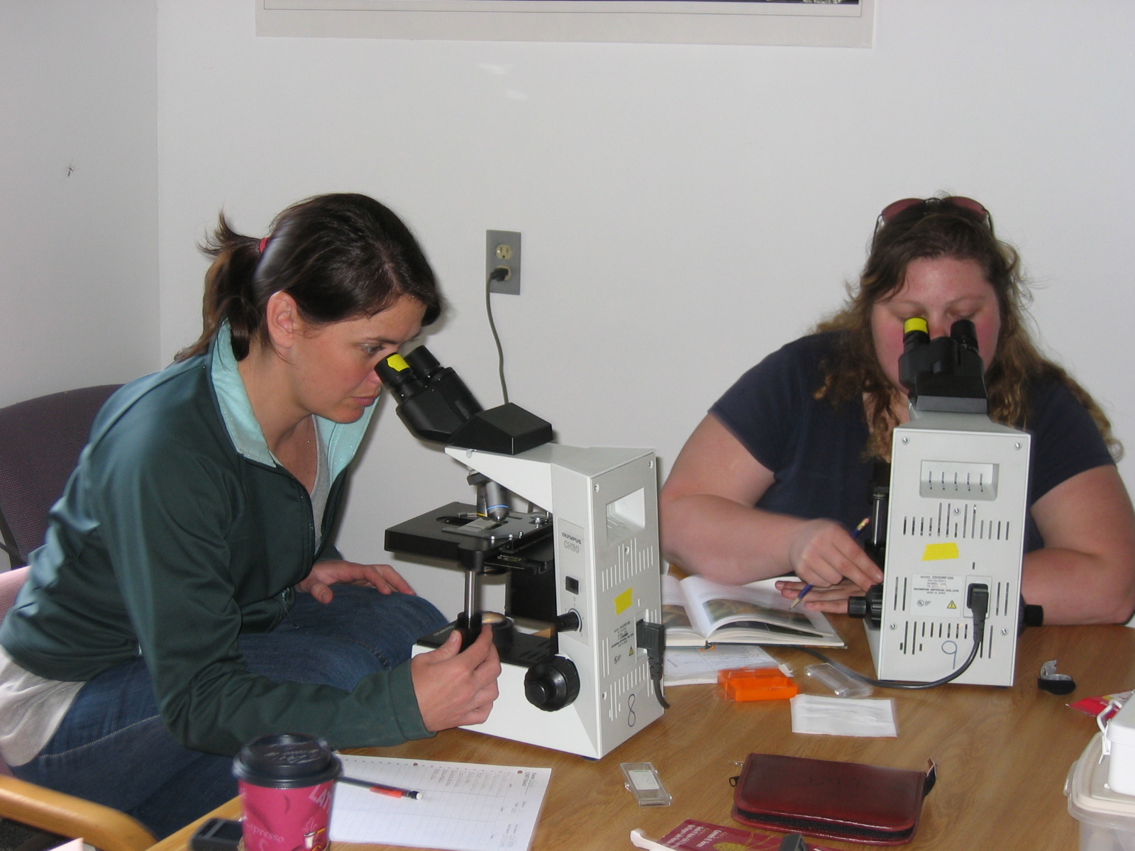
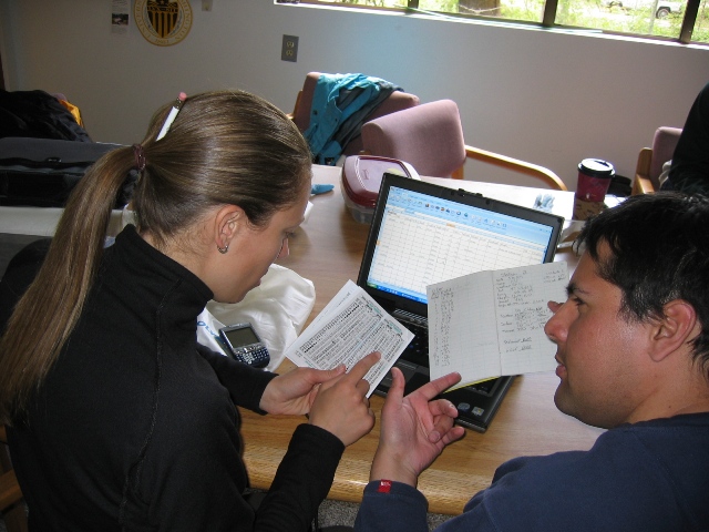
Throughout the spring 2009 quarter, the Estuarine Field Studies class sampled in four different areas within and around Puget Sound. Samples were taken from within Commencement Bay, Hood Canal, Quartmaster Harbor and San Juan Island. This page contains basic information about the sampling sites, the Puget Sound and links to their respective pages. Commencement Bay: Commencement Bay is located at the Southern end of Puget Sound; extending from Tacoma’s Point Defiance to Brown’s Point.The Puyallup River is the largest freshwater stream draining into Commencement Bay. Many other smaller rivers and creeks drain directly into the Bay. Quartermaster Harbor: Located between Vashon and Maury Islands, Quartermaster Harbor (QMH) is comprised of an inner and outer harbor. Due to its physical surroundings, the harbor is protected from wind and waves and has several freshwater influxes that are derived from about 40% of the two islands. The largest influx is located in the northwest corner of the inner harbor. This location receives less tidal flushing, is smaller and shallower in depth. The outer harbor is larger and tidal flushing occurs at a greater rate. San Juan Island: The San Juan Island archipelago water system is a very special body of water that is characterized by its incredible composition which includes seawater and an influx of many fresh water tributaries, such as rivers, creeks, and treated wastewater. The conservation and protection of this body of water is important because of the rich ecosystem that is found in the area. The constant monitoring of the quality of the water is vital to the conservation of this estuary. The San Juan Island archipelago is located to the north of Puget Sound where the Strait of Georgia and the Strait of Juan de Fuca meets. The geography of the area permits the action of a semi diurnal tide that permits the consistently flush of Puget Sound. The Past and Present of Puget Sound: Puget Sound, a salt water estuary was originally formed as a result of being located on an active plate boundary. Approximately 20,000 years later it was further carved by glaciers traveling down from Canada. Exceeding 16,000 square miles the sound is divided into four basins. They include: Main Basin: This includes Admiralty Inlet down to Whibdey Island. Whibdey Basin: The Whibdey Basin included the area directly around the island. Hood Canal Basin: This basin included the entire length of the Hood Canal South Basin: The South Basin includes areas like Tacoma down to Olympia. The Puget Sound area was originally settled with the intent of being the last stop on the way to Alaska for those hoping to hit it big during the gold rush. Due to fishing practices, high marine traffic and, Puget Sound been under scrutiny. The research done by the Estuarine Field Studies class is not unlike research being done by cities and non-profit groups to ensure the heath of the sound. Click within the sampling area to taken to that areas web page
|

For more information concerning the health of Puget Sound please visit the "Poisoned Waters" web site
|
|
.JPG)