Site Report 2
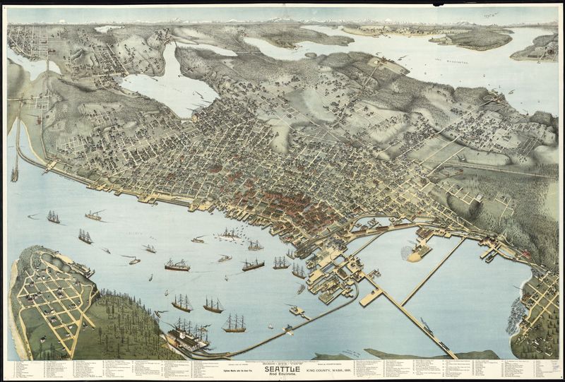
Birds-eye-view map of Seattle. Elliot Bay (Seattle, WA). Made in 1891. Library of Congress
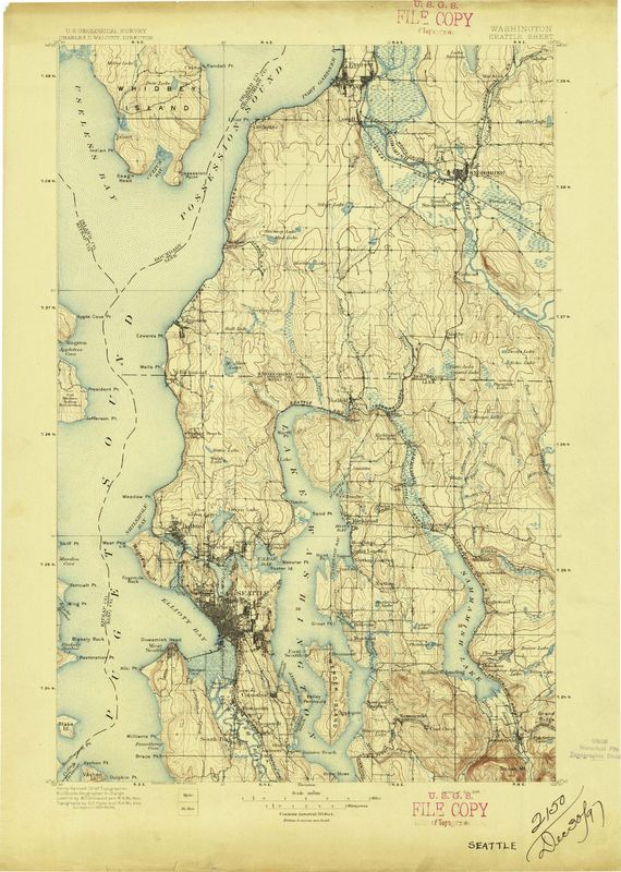
Topographical Map of Seattle area. Puget Sound, WA. Created in October, 1897. Historical Topographical Map Collection
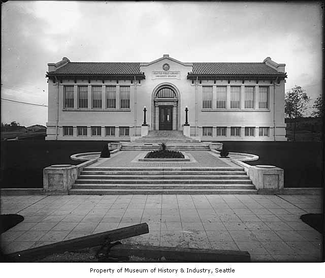
Front view of University Branch Library, later named Seattle Public Library. University District (Seattle, WA). Taken in 1910. Webster & Stevens.
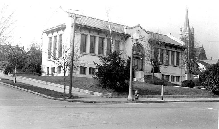
View of Seattle Public Library. University District (Seattle, WA). Taken on November 13, 1931. Seattle Photograph Collection.
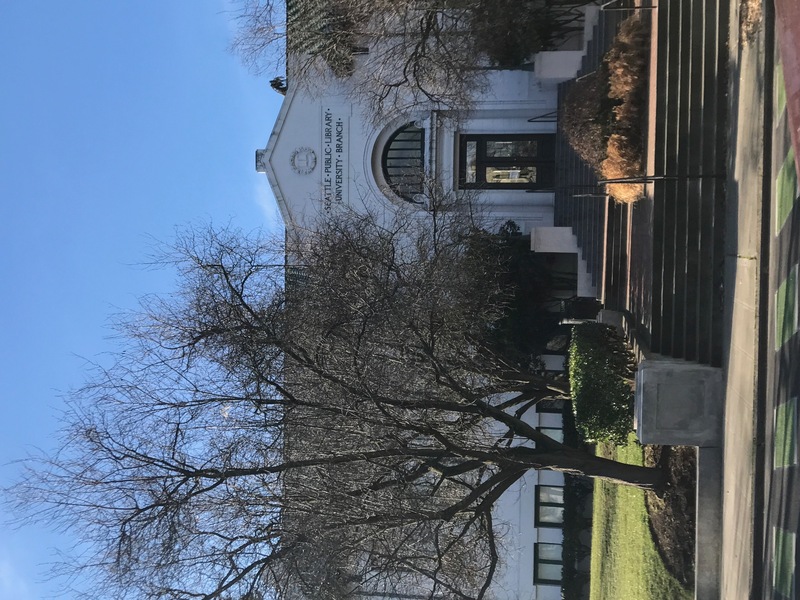
View of Seattle Public Library on Roosevelt Way NE. University District (Seattle, WA). Taken on January 31, 2017. Justin Williams
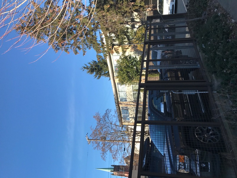
View of parking lot for Fire Station No.17 and adjacent Apartment complex. University District (Seattle, WA). Taken on January 31, 2017. Justin Williams
Report: Historical Observation
In my second site report, I ran into a little bit of trouble due to the fact that most maps that had the type of information I needed had cut off where my block is located. From the information that I was able to find, I could tell that prior to 1900 there were no streams or rivers running through that area. Based on the topographical map located in Special Collections I could tell that not much, if any, altering of the landscape occurred prior to the district’s development. There was a fair amount of trees in this location but not a huge amount compared to more mountainous areas in the northwest. The topographical map listed the area at a little under 250 feet above sea level , just before the highest point of the district. From my blocks location, the farther south you went the closer you got to Lake Union but it was a very steady decline towards the water. The developers of the district left most of the natural topographical elevations alone when beginning the development because of the more steady elevation variations.
Sometime between 1891 and 1910 more of the landscape started to loose its natural appearance and it began to become a more suburban area of Seattle. The photo of the Seattle Public Library in 1910 shows the start of infrastructure, and then the photo of the same building in 1931 shows the creation of roads, sidewalks, and even manmade landscaping of trees and bushes. When physically going to my block, I noticed that there were only a handful of trees that looked like they could have been there prior to human development. The two trees between the fire station and the apartment complex were the tallest trees on my block, and I could tell on the Roosevelt Way side that there were lots of littler trees planted between the telephone poles on the sidewalk. Im not completely sure if the two tallest trees were there before the development started or were planted in the process. If there was any of the natural topography that would still be there today, it would have to be those two pine trees because of the height and size they are currently at. I did notice that the trees that were in front of the Seattle Public Library were planted between 1910 and 1931 because in the 1910 photo they were not present and then in the 1931 photo they were. I really want to research some of the current buildings that are on my block and find out how long they have been there and if any previous businesses or residents were there prior.
