Site Report #2- Environmental History
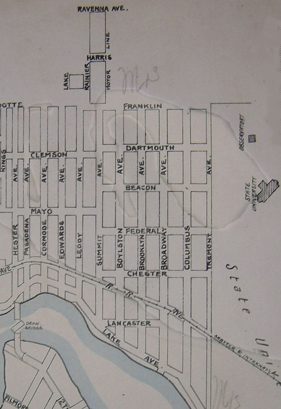
1893 topographic map west of current University of Washington ground.
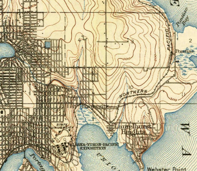
1909 topographic map of early University District.
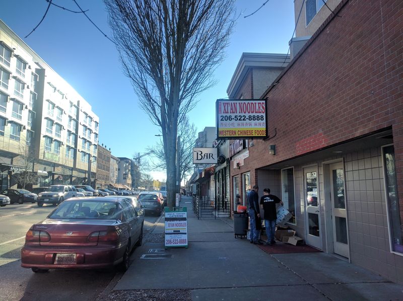
South-facing view of University Way. Tall trees stand along the sidewalk and elevation decline can be seen far ahead. University District, Seattle, WA. Photograph taken by Mina Liao.
A house with stairs up to its front door. University District, Seattle, WA. Photograph taken by Mina Liao.
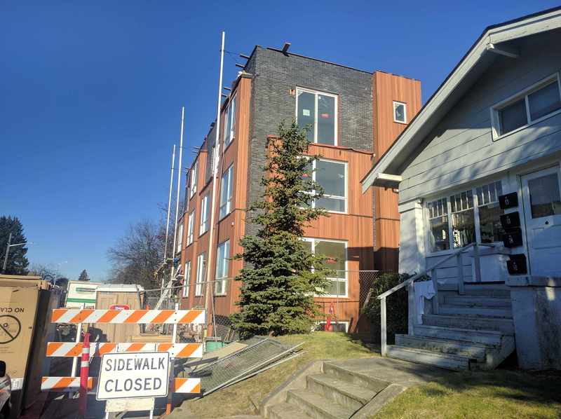
Upon inspecting early topography of where University District lies today, it appears development first began in the location of Block 73 sometime during the last decade of 19th century. As shown in the 1893 map, the district only stretched as far as what is now 45th Street (known as Franklin Street then) with almost no sign of development beyond it. The area was likely densely forested at the time, only to be quickly cleared for the northward development. Quickly is appropriate to be used here because by 1903, University Heights Elementary opened its doors to the public just South of Block 73 and development had reached present-day Ravenna Park by 1909. In addition to the rapid transition from suburbia to city, we can deduce from the 1909 map of how and to what extent hills contributed to the layout of University District. Walking up University Way from Campus Parkway, one can see and feel the street sloping uphill north. The far north end; however, flattens out to a fairly even terrain and that is where Block 73 is located. This can be seen in the photograph that was taken from the University Way and 55th Street intersection facing south. The length of the block appears nearly flat, but the street further down can be seen beginning to decrease in elevation down at the 52nd Street end. There are several houses with a small stairway to their doorstep due to being on a slightly elevated portion of the block. Otherwise, the buildings on the block seemed to be built on flat land and there likely wasn’t a large manipulation of land that occurred on this block. The 1909 map also suggests small elevation differences on the location of my block, meaning it was not necessary to regrade the area.
Natural landscape no longer exists in the form it did before Block 73 was developed, but the presence of rather large trees suggests a few things. There are trees that line the University Way sidewalk, which is a result of uniform urban landscaping. The trees on the residential half of the block are spread out with no apparent pattern and were probably planted when the homes were first built and their yards were in original conditions.
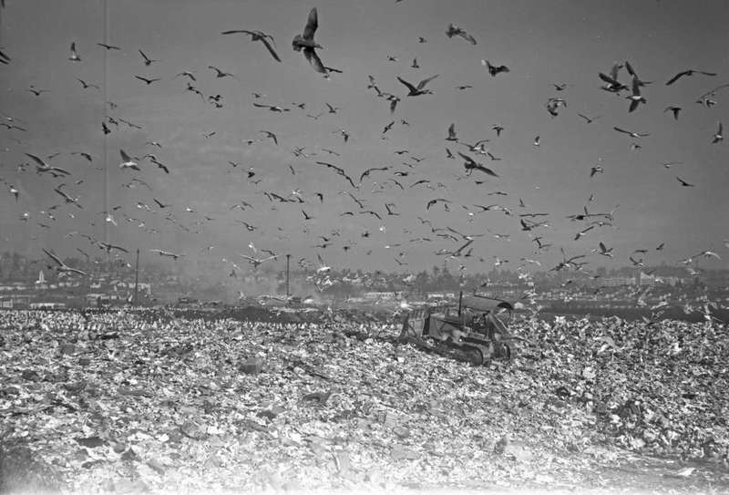
During the early 20th Century, the approximate location of where the Intramural Activities Building and the parking lot stand today was the University District Garbage Dump. Considering this in combination with the Gas Works in operation, we can imagine that air quality and the smell experienced inland of Lake Union, Portage Bay, and Union Bay were not pleasant.

