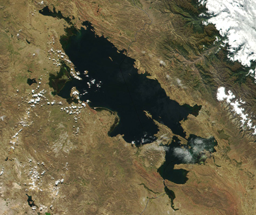
Lake Titicaca (Lago Titicaca) is a large lake located in the South American continental Andes Mountain range between the nations of Peru and Bolivia. Sitting at around 12,500 feet above sea level , the lake has had a rich and complex history. It was once home to the Inca and other native peoples and has remained a central hub for civilization over the centuries.
Currently averaging 460 to 600 feet deep (920 feet at its deepest) and covering 3,200 square miles, Lake Titicaca is an impressive sight. Due to its size, it's considered the world's highest commercially navigable lake.
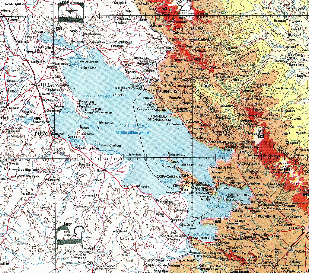
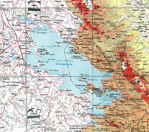
The origin of the lake's name is debatable, although many sources indicate it is derived from the Quechua or Aymara words for ŇRock PumaÓ, a possible allusion to the lake's current shape or a rock formation on Isla Del Sol.
Most people refer to the whole lake as Lake Titicaca, but the locals refer to the lake by its two parts. Lago Grande (the larger portion of the lake) and Lago Pequeno (the smaller part of the lake) by the Peruvians and Lago Chucuito and Lago Huinaymarca by the Bolivians. The two sections of the lake are divided by the Strait of Tiquina.
http://www.nssl.noaa.gov/projects/pacs/salljex/archive/lake/formularios/Titicaca_map_smallst.JPG
This site will cover a variety of information about the lake. This will include Global Relations and how the lake's climate and geology compares to the rest of the world. Regional Patterns will take a closer look at the local climate and topography. Individual Features will provide information on some of the interesting locations and features of the lake and surrounding area. Finally, Environmental Concerns will discuss the effects of humans on the area and some current concerns regarding the health of the lake.
|