| Home |
| About Us |
| Methods |
| Sample Sites
|
| Data Repository |
| Acknowledgements |
San Juan Island |
|||||||||||||||||||||||||||||||||
Introduction: The San Juan Island archipelago water system is a very special body of water that is characterized by its incredible composition which includes seawater and an influx of many fresh water tributaries, such as rivers, creeks, and treated wastewater. The conservation and protection of this body of water is important because of the rich ecosystem that is found in the area. The constant monitoring of the quality of the water is vital to the conservation of this estuary. The San Juan Island archipelago is located to the north of Puget Sound where the Strait of Georgia and the Strait of Juan de Fuca meets. The geography of the area permits the action of a semidiurnal tide that permits the consistently flush of Puget Sound.
Click on picture to enlarge
*Exact locations of San Juan Stations are displayed above. Latitude, Longitude and Depth were recorded in decimal minutes and meters. |
|||||||||||||||||||||||||||||||||

![]()
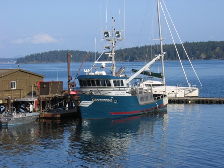
The Centennial
.JPG)
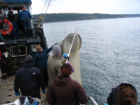
Collecting Phytoplankton
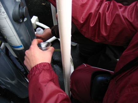
Sampling for Dissolved Oxygen
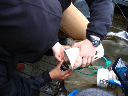
Collecting Phytoplankton Sample
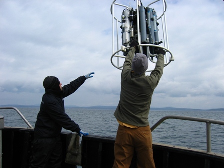
Extracting Rosette from Station 3