Hylebos Watershed Spring 2003
Introduction
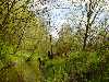
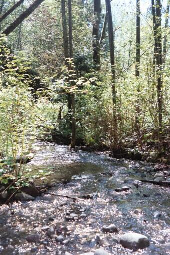
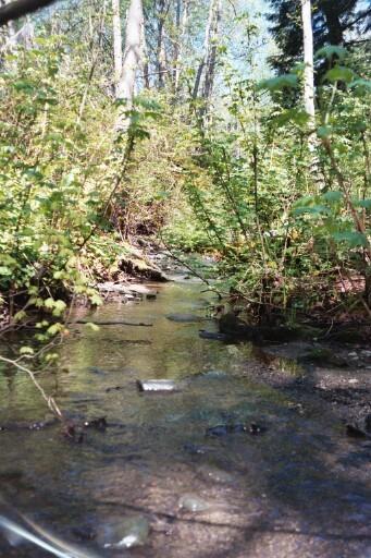
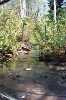
Hylebos Creek
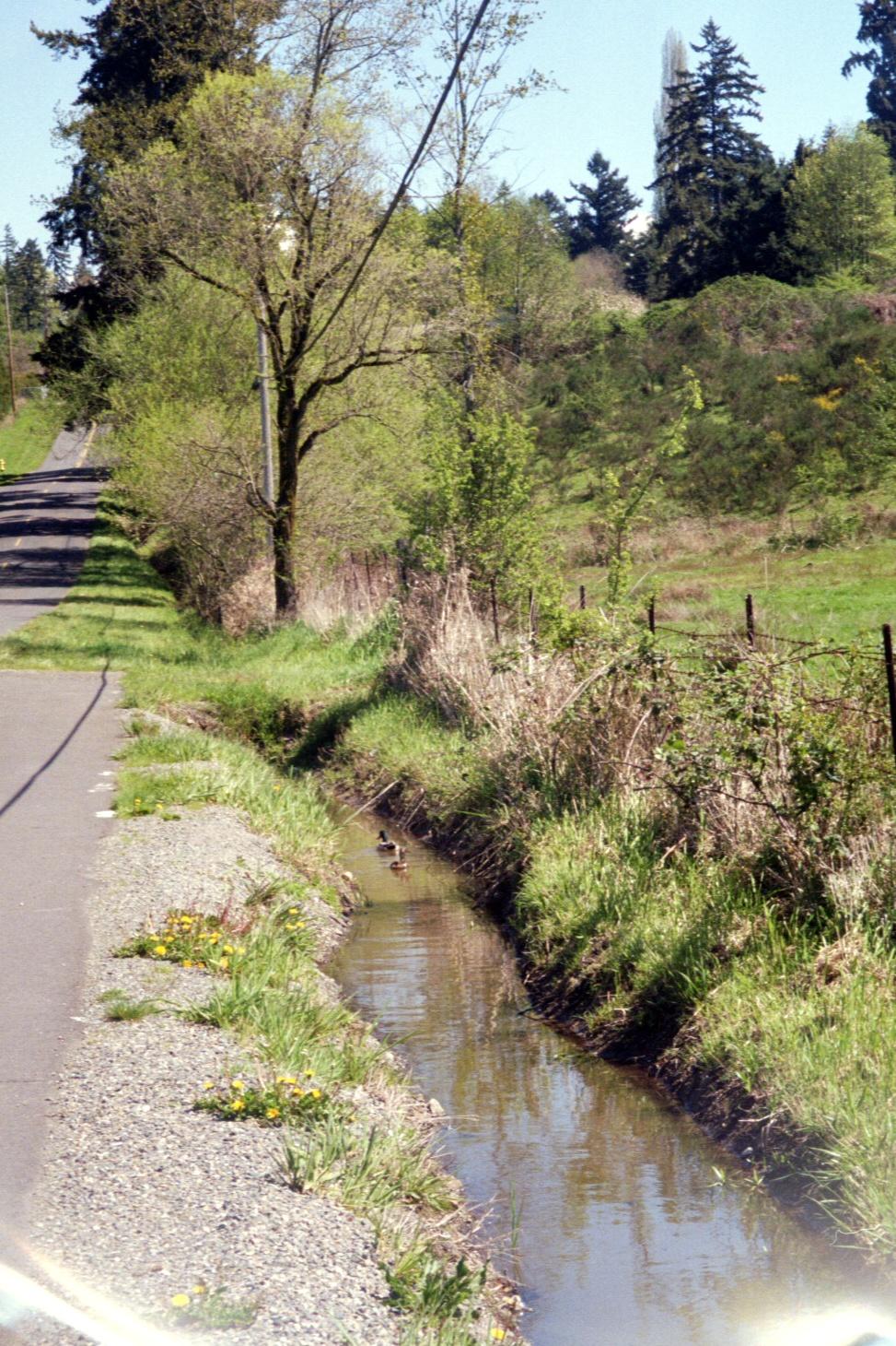
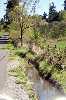
The entire Hylebos watershed is approximately 18 square miles with 8.25 square miles located within the Federal Way city limits (Smith, 2003). The Federal Way portion of Hylebos Creek runs through a developed area, which includes commercial and industrial uses, retail shops, restaurants and a major mall, as well as residential housing. The headwaters of the Hylebos originate near 320th Street surrounded by restaurants, print shops and auto shops. The developed nature of this area means that the surface is predominantly asphalt. In addition, to the south there are large gravel parking lots used by commercial truckers. Hylebos Creek runs along Pacific Highway, which is a highly developed area as well as the major arterial for the region. Large portions of Hylebos Creek have been routed underground as part of the ongoing development of the area. Surface run off from much of the surrounding asphalt runs into the Hylebos creating potential risks for the health of this creek.
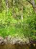
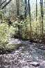
The Hylebos watershed also includes some protected wetlands, man-made wetlands, undeveloped and less-developed areas as well as retention ponds to mitigate the pollution generated by the surrounding commercial and industrial areas. As Hylebos Creek flows to the south, near 373rd, the surrounding area consists of residential housing on large plots, some agricultural land and grazing uses. This urban watershed covers a diverse range of land uses and presents some unique challenges for water quality management.
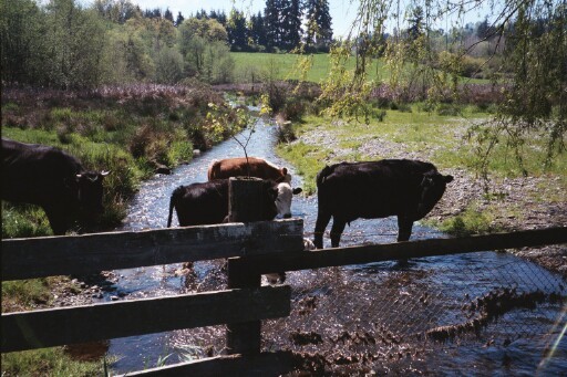
As recently as the 1970's Hylebos Creek supported multiple salmon runs. Unfortunately, as the region has been developed, Hylebos Creek has suffered. The Hylebos watershed currently has a broad range of potential pollutants because of the multiple land uses within the this watershed. The industrial and commercial areas potentially release grease and oils, asbestos from automobile brakes, solvents and metals. Further, the extensive area covered by asphalt within this watershed also contributes to oils, metals and asbestos. The residential areas potentially contribute phosphorous and nitrogent from fertilizer use as well as fecal coliform bacteria from pet waste. The lack of a buffer zone allows cows direct access to the river and potentially contributes fecal coliform, ammonia and possibly giradia and/or cryptosporidium. While the City of Federal Way has some excellent mitigation systems in place to reduce the impact of these pollutants, there are still issues with turbidity, dissolved oxygen and nitrates. Community education, consistent enforcement and continued fines for violators may help bring Hylebos Creek closer to the standards for healthy streams.
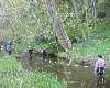
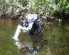
This field report focuses on nine sampling sites as indicated on the attached map. The data was collected on Friday, April 25, 2003 by UWT Environmental Science students.

Page Designed by Jayson Stevens, Sarah Ralph and Debbie McCunn
June 2003