Hylebos Watershed Spring 2003
Land Use
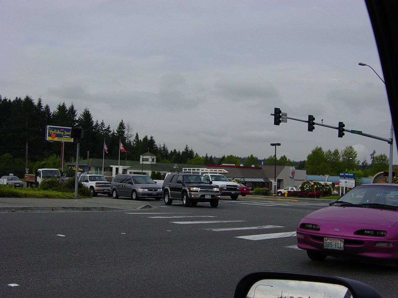
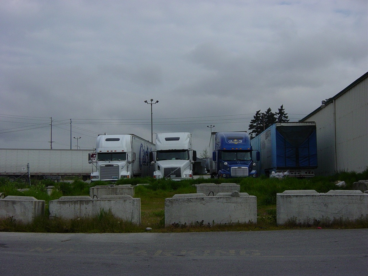
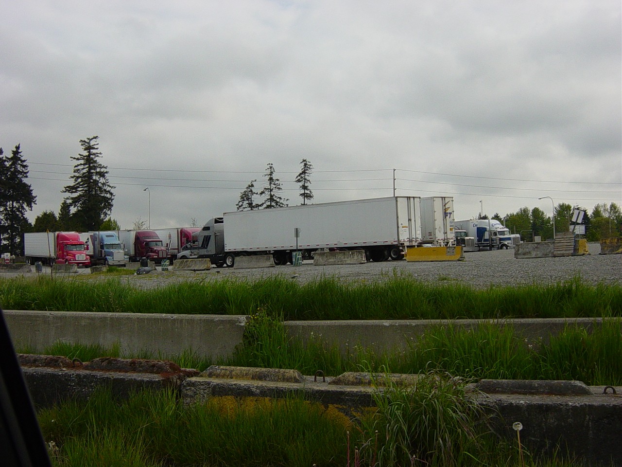
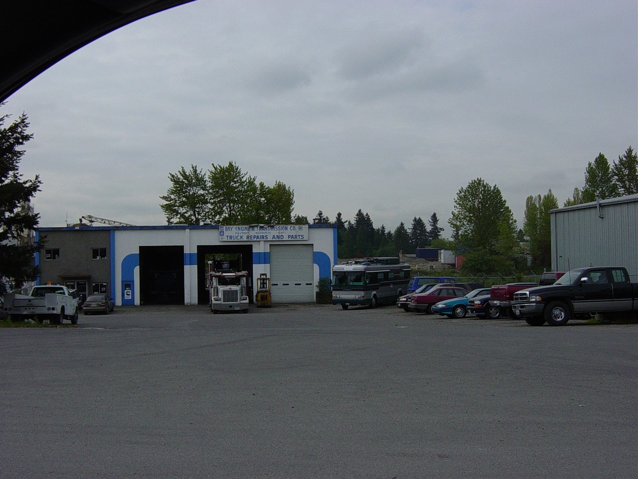
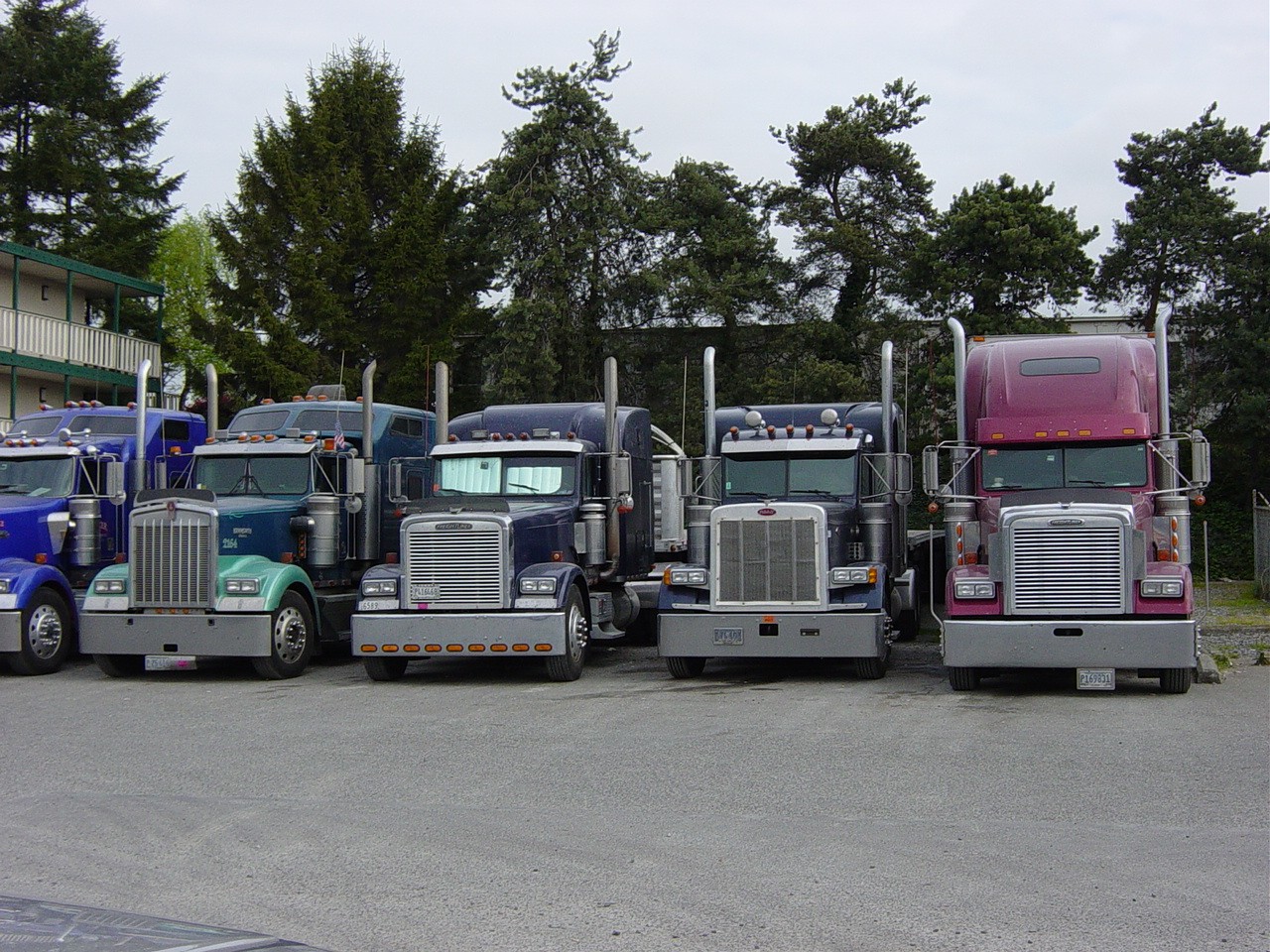
Land uses within the Hylebos Watershed are greatly varied. For the most part, this is an urban watershed. However, there are some areas that still include agricultural uses. The headwaters originating near 320th Street are surrounded by restaurants, print shops and auto shops. Moving to the south, there are some gravel parking lots used by commercial truckers. In addition, this industrial area is home to a cement plant and several businesses that support commercial trucking. Through this section, the Hylebos runs along Pacific Highway, which is a highly developed area and a major arterial for the area. Large portions of the Hylebos have been routed underground in this area. This watershed also includes some protected wetlands, man-made wetlands, retention ponds, some undeveloped and less-developed areas. The section of Hylebos Creek near 373rd Street consists of residential housing on large plots, agricultural land and grazing uses. Surface run off from much of the surrounding asphalt runs into the Hylebos. This urban watershed covers a diverse range of land uses and presents some unique challenges for water quality management. The specific issues associated with each site are listed below.
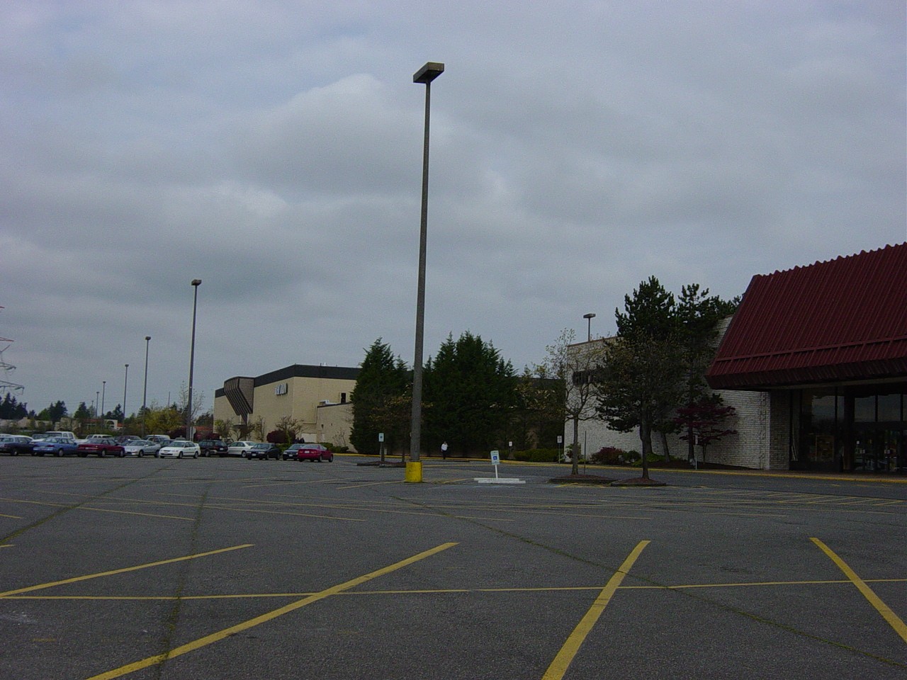
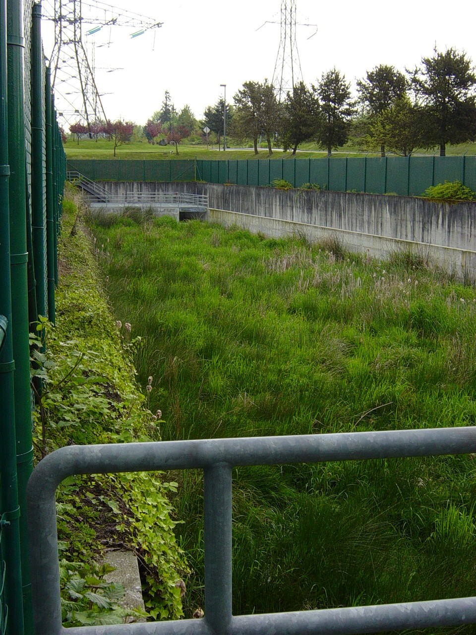
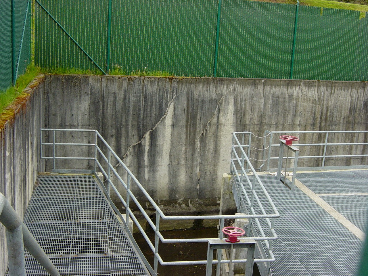
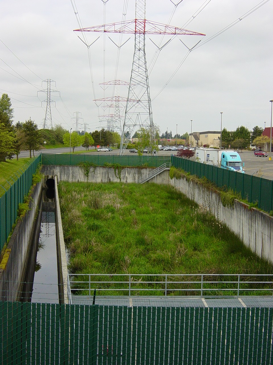
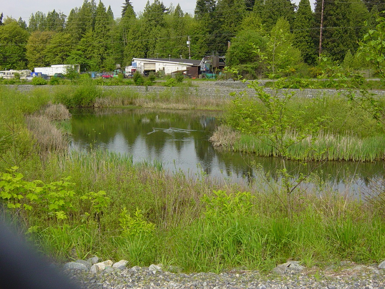
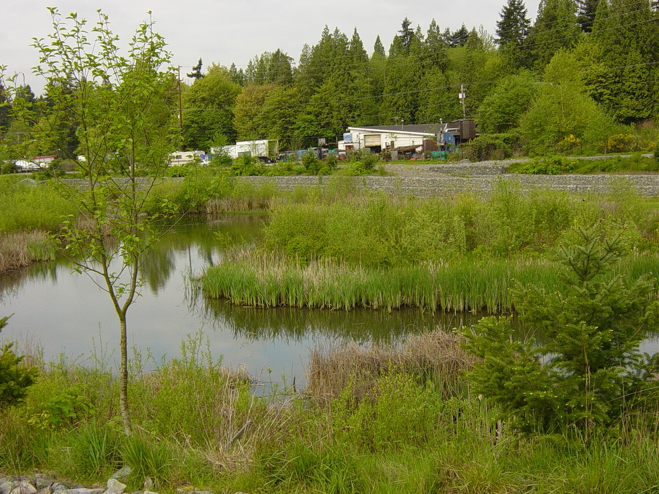
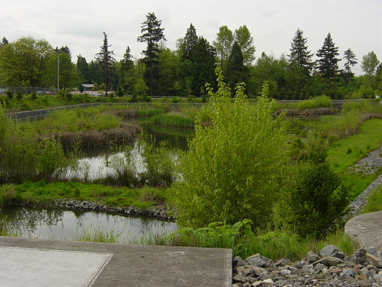
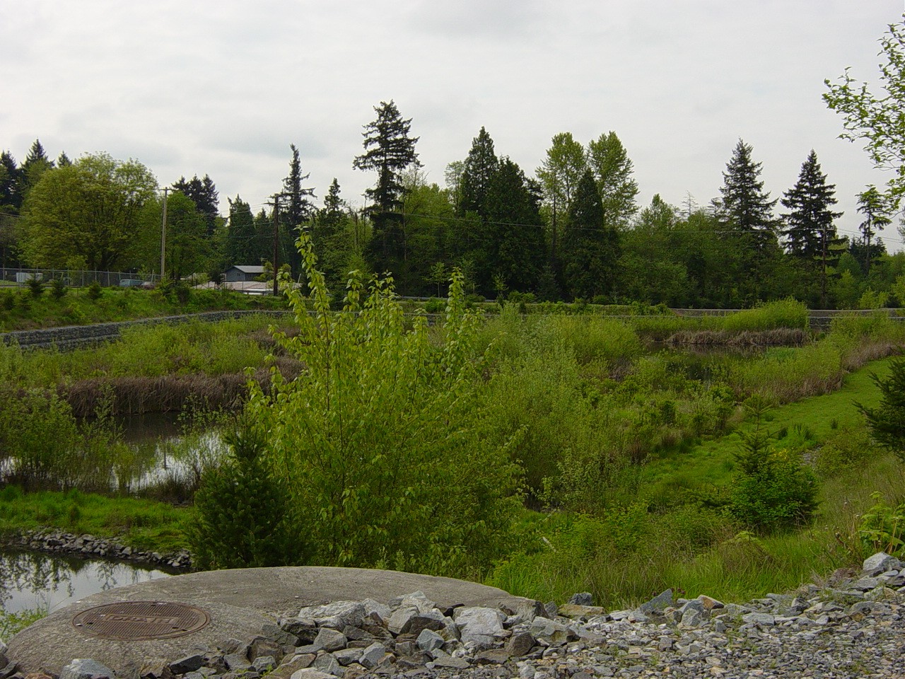
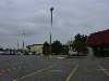
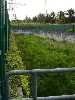
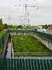
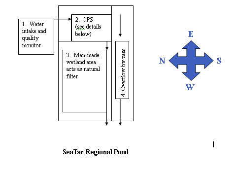
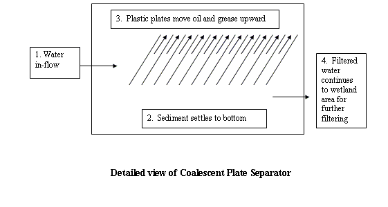
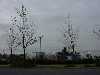
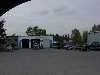
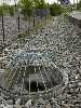
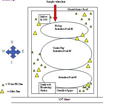
The Seatac site is a Regional Pond located on the South side of the SeaTac Mall off of 320th Street. At this site, the large asphalt parking lot creates a great deal of runoff. In addition, the restaurants inside and around the mall dispose of grease and oil improperly, resulting in runoff that contains high levels of grease and oils. In addition, the surrounding roads include a major highway and have constant high traffic volumes. The perimeter of the parking lot consists of a thin strip of grass and a few trees. There are also a few small areas around the mall buildings that are planted with bark in the bed. This Regional Pond collects street runoff to empty the roads and parking lots quickly when it rains. This Regional Pond is not a retention pond. Its function is to monitor and collect the runoff, slow down the flow and filter the water. The incoming water is monitored for pH, dissolved oxygen, temperature, flow and conductivity. This helps monitor and regulate the surrounding businesses. In addition, the city performs a periodic smoke test to locate illegal connections. After the water passes through the monitoring stations, it moves into a CPS (Coalescent Plate Separator). The CPS consists of several plastic plates that capture the grease and oil. In addition, sediments settle to the bottom of the CPS. The remaining water passing through the CPS is somewhat cleaner when it flows into a man-made wetland area. The man made wetland area consists of grasses, cattails and other wetland plants found in natural wetlands throughout the Pacific Northwest. This serves as a natural filter to further clean the water before it leaves this pond. The city of SeaTac periodically cleans the CPS to remove grease, oil and sediment and also replaces the plants in the wetland area. This Regional Pond also includes a high flow by-pass for times of heavy precipitation.
The following photos show the Seatac site and surrounding areas. The following diagrams represents the SeaTac Mall Regional Pond and the design of the CPS.
Seatac mall's surrounding land use
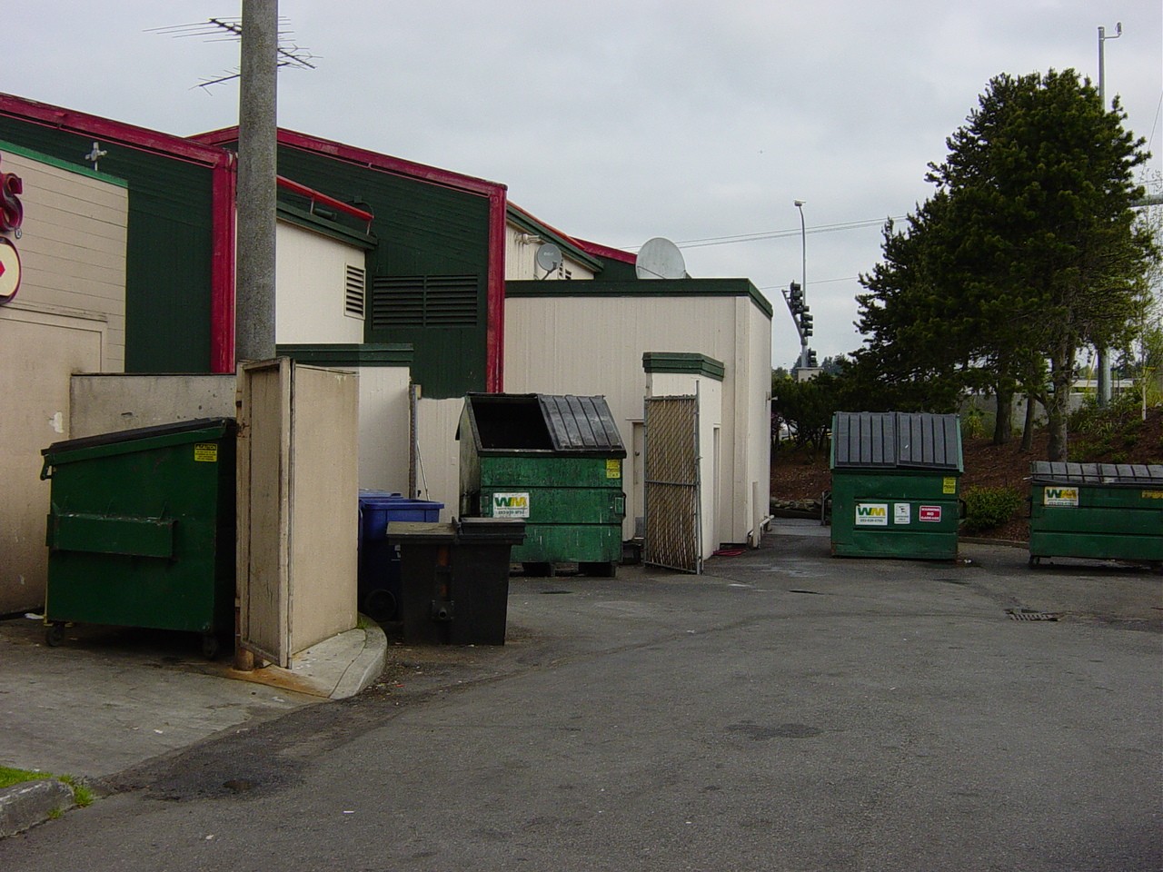
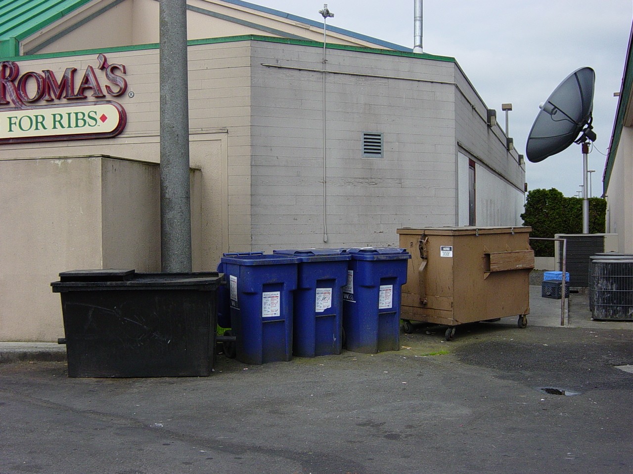
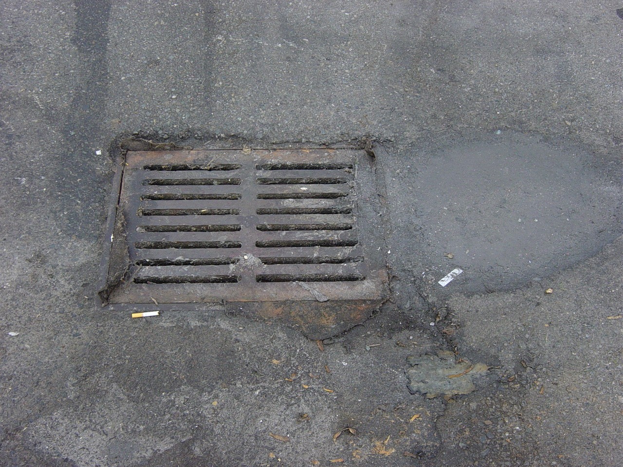
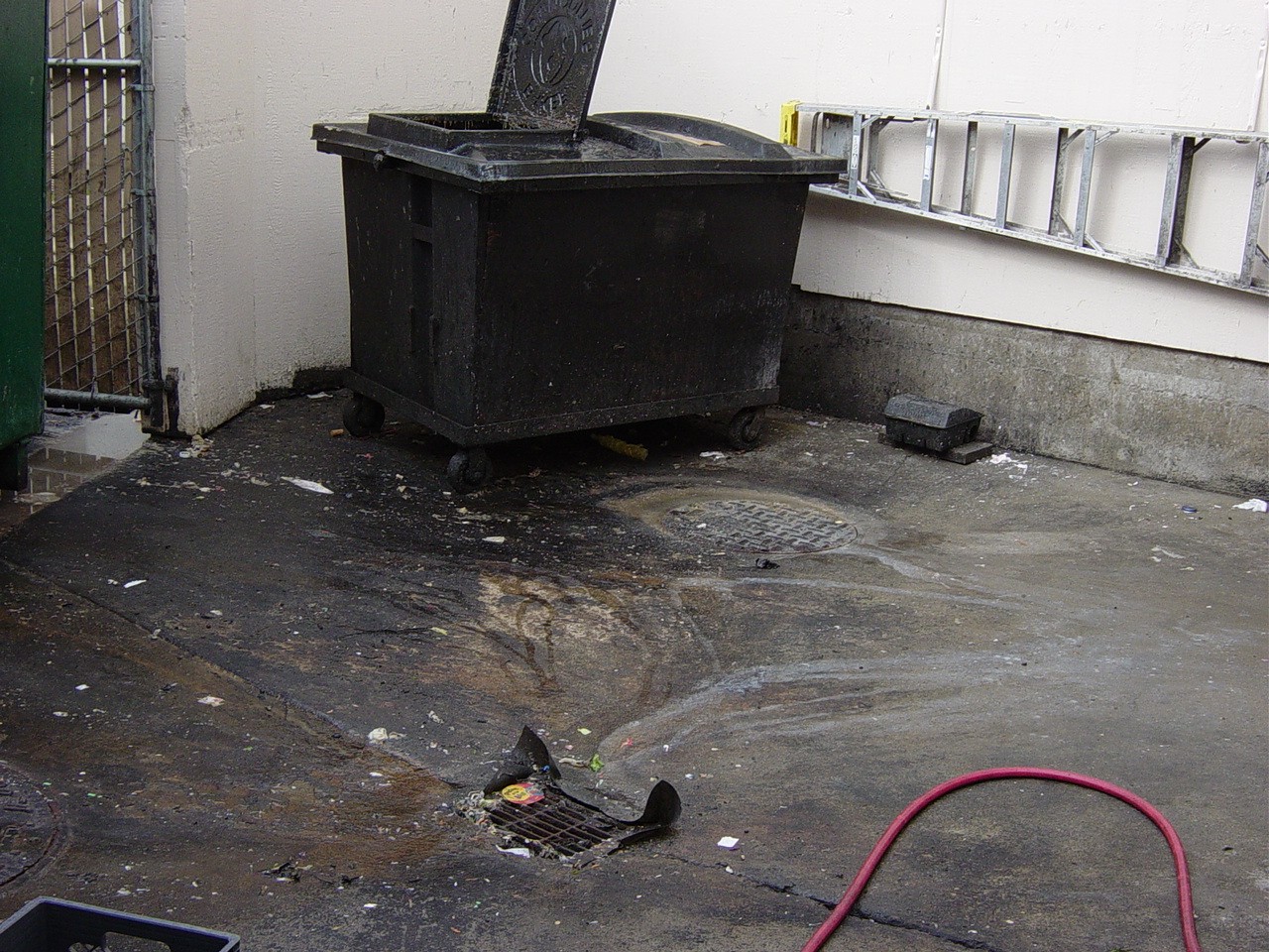
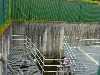
The biggest challenges for surface water management at this site have been the surrounding restaurants (Smith, 2003). Several restaurants have been fined for dumping grease directing into the parking lot drains or mismanaging the cleaning of grease coated equipment behind the restaurant. The two biggest violators have been Red Robin and Tony Roma (Smith, 2003). The following photos depict the grease residue left behind even after multiple fines and warnings.
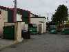
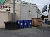

Seatac Mall key polluters
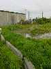
Site 2 is the Kitts Corner Retention Pond just off 336th Street. This is a large retention pond area consisting of man-made wetland areas and several ponds. The Hylebos flows in through a monitoring station where the pH level, dissolved oxygen, conductivity, temperature,flow and depth and measured and recorded by the City of Federal Way. The city is also responsible for calibrating and cleaning the monitoring equipment monthly. The surrounding area is just off Highway 99 in Federal Way and consists of retail spaces asphalt parking lots, a mobile home park and several commercial sites


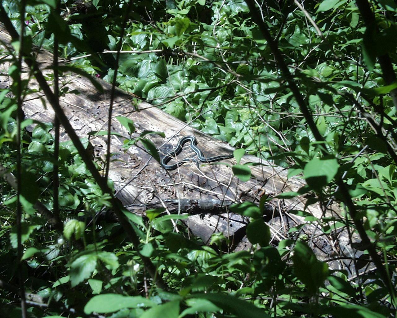
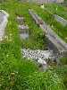
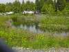
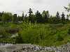
Site 3 is the Brook Lake inflow at the West Hylebos Wetland Park between 348th and 356th Street. This is an urban wetland park with a one-mile boardwalk through the bog for resident to enjoy. The bog area consists of a woody debris and moss floor. Plant life includes salmon berry bushes, skink cabbage, bleeding heart and false lily of the valley. For the most part, the water is not visible, but is flowing immediately below the surface of the bog.
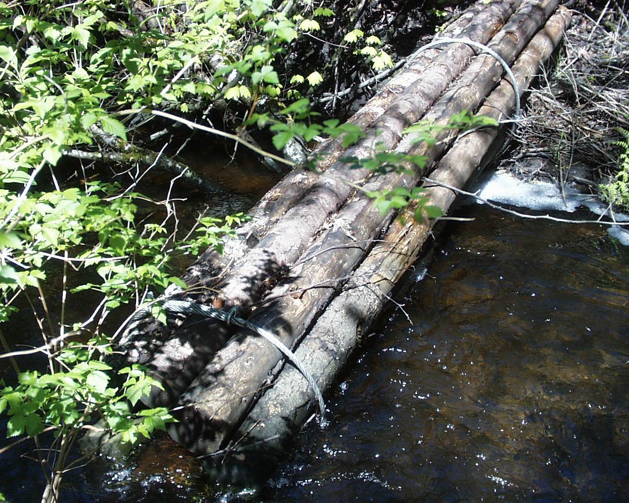
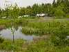
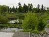
Site 4 is located approximately one mile south of Brook Lake. The city has been restoring this section of the river. Engineered woody debris has been placed in the river to slow the flow and create pools for fish to feed and mate. This is particularly important during a low flow season. The engineerred debris consists of clusters of logs cabled together and placed at angles into the river. There are houses nearby and a portion of the land used to be a blueberry farm. The plant life in the riparian zone provides a substantial amount of shade at this point on the Hylebos. The river at this point is still quite small, only a few feet across. This is the first site where the stream is above ground for a significant distance.
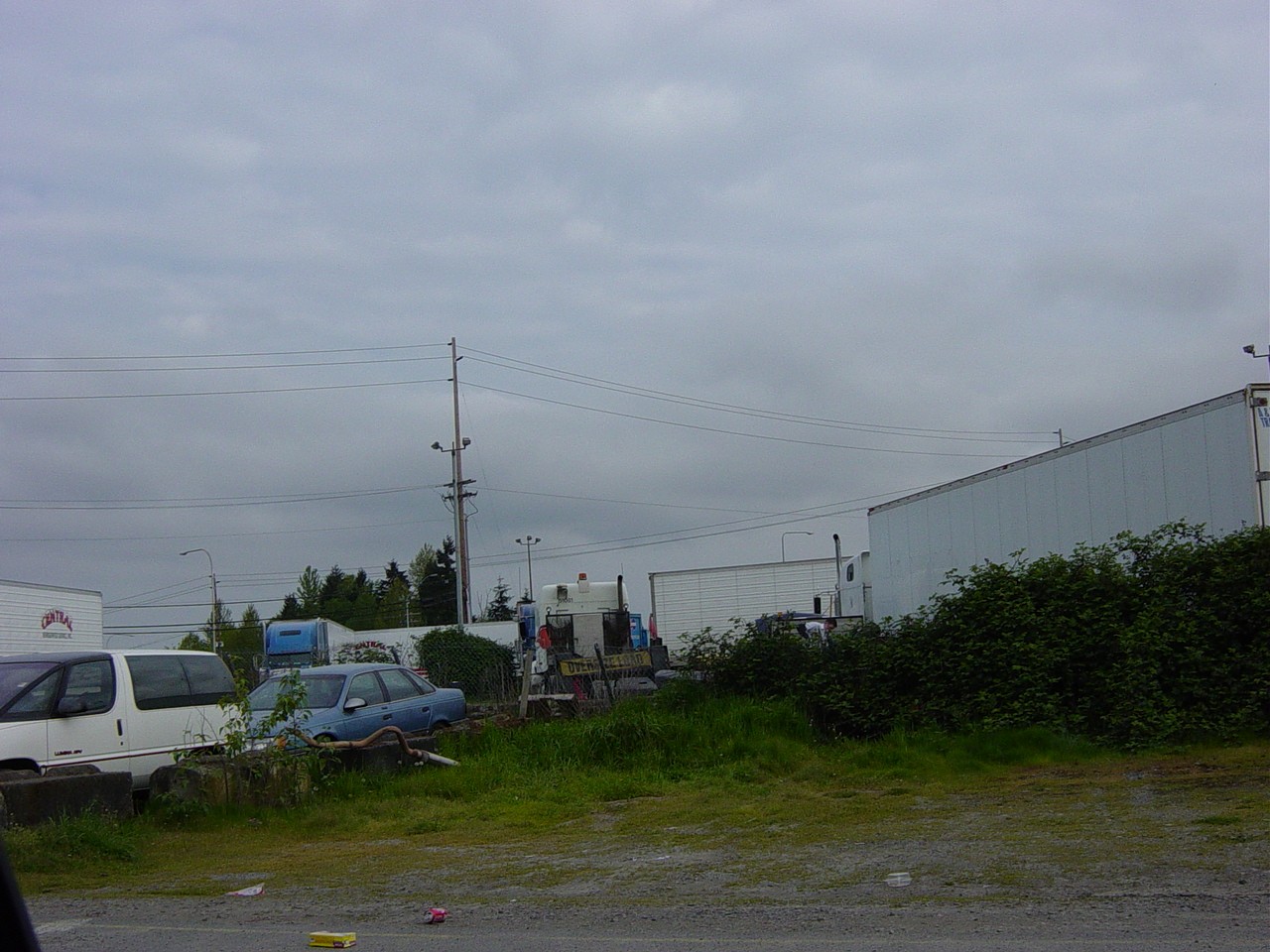
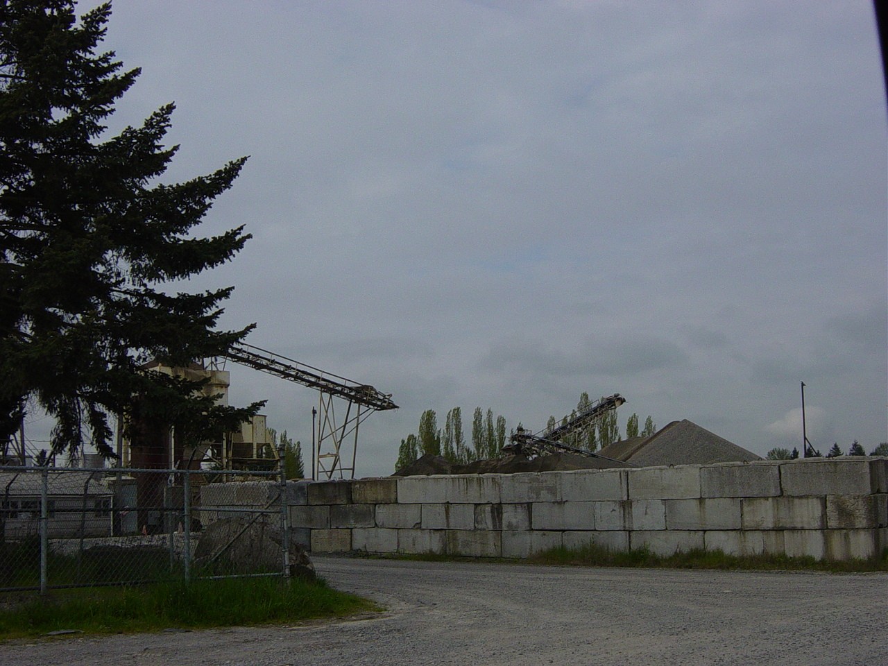
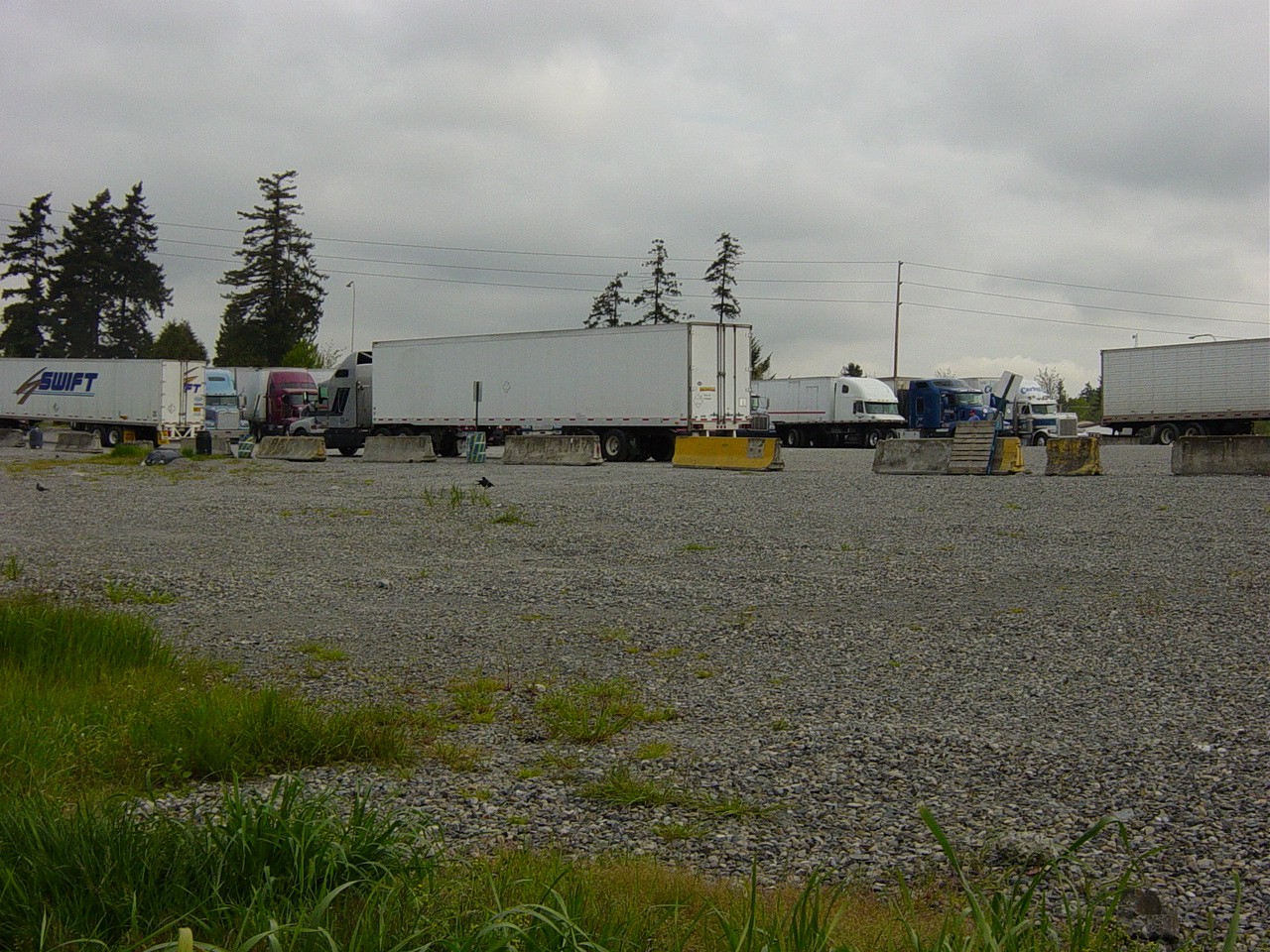
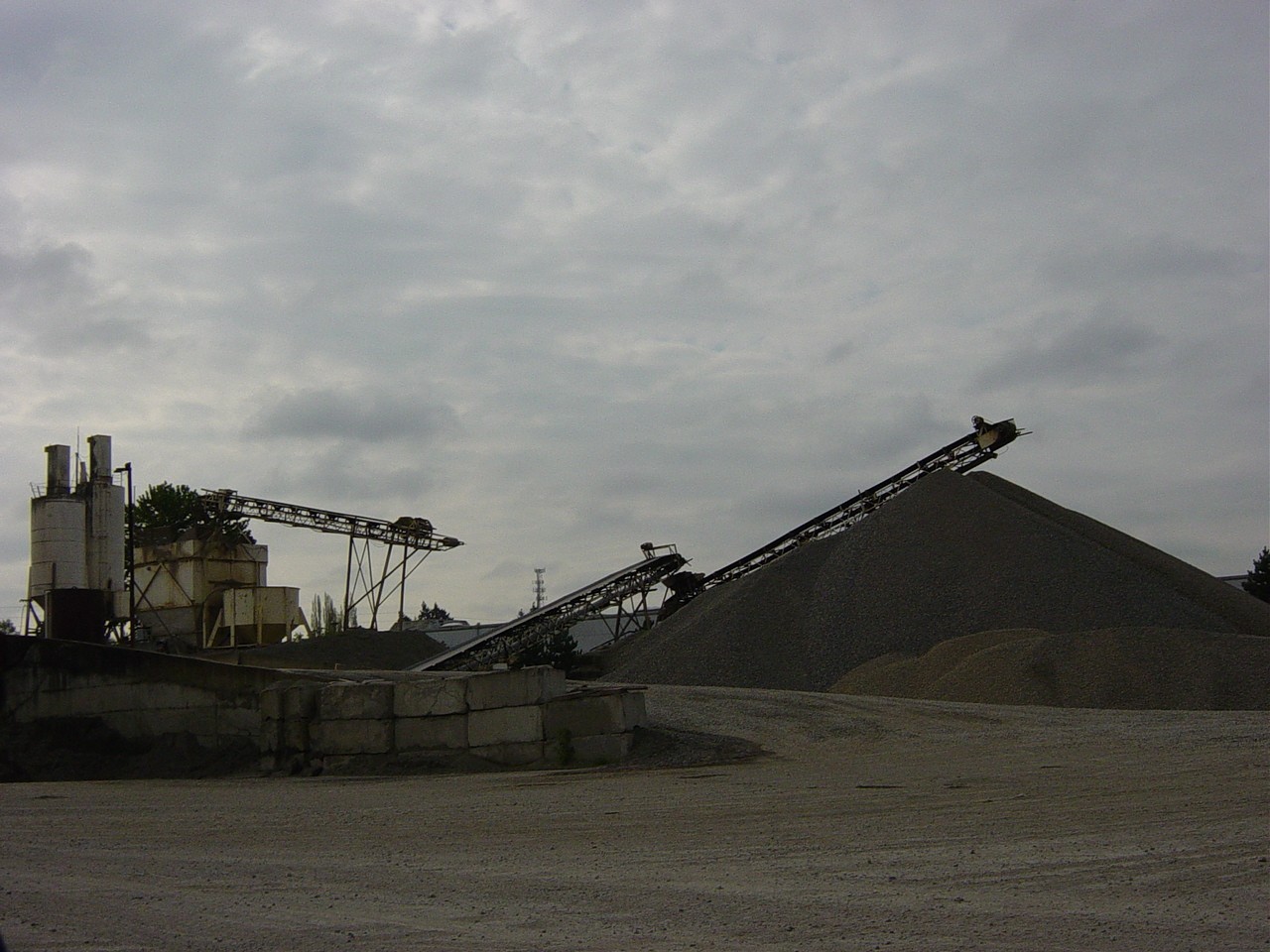
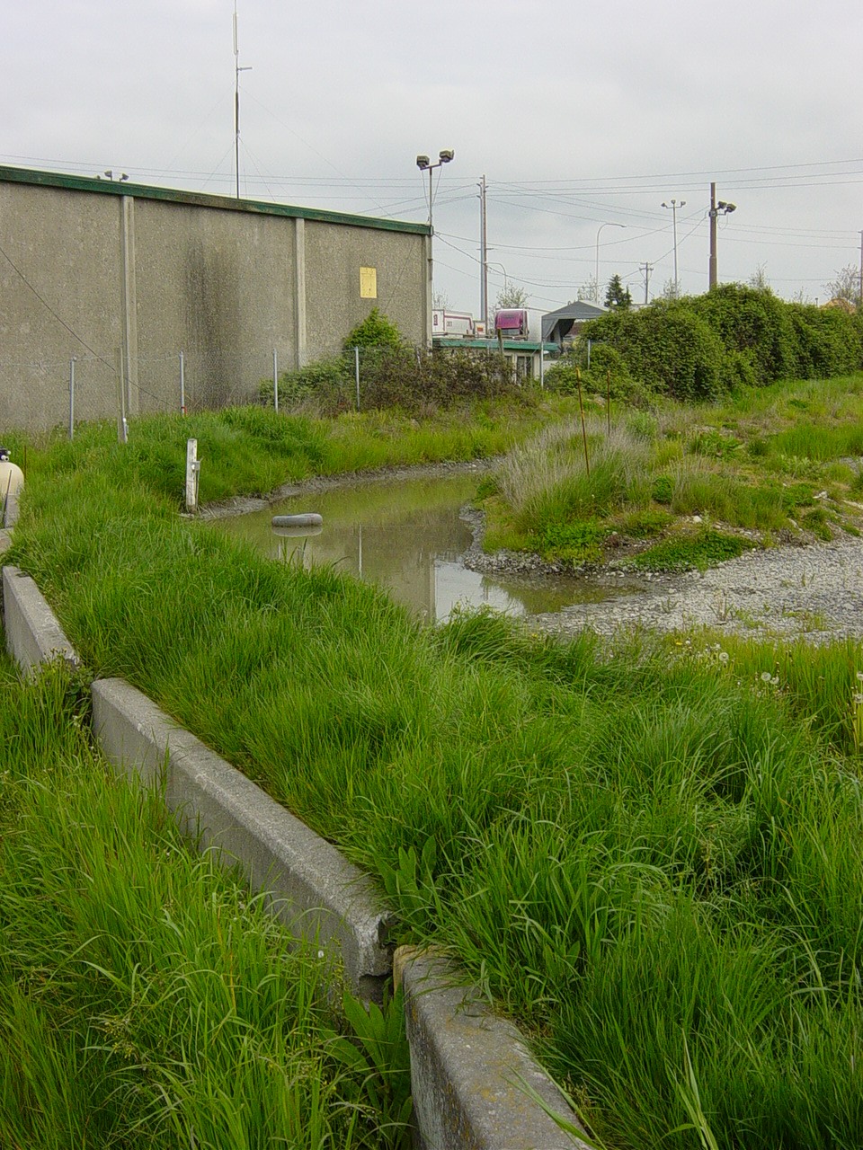
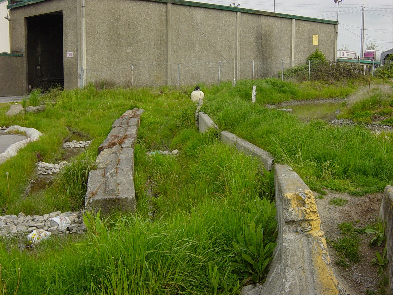
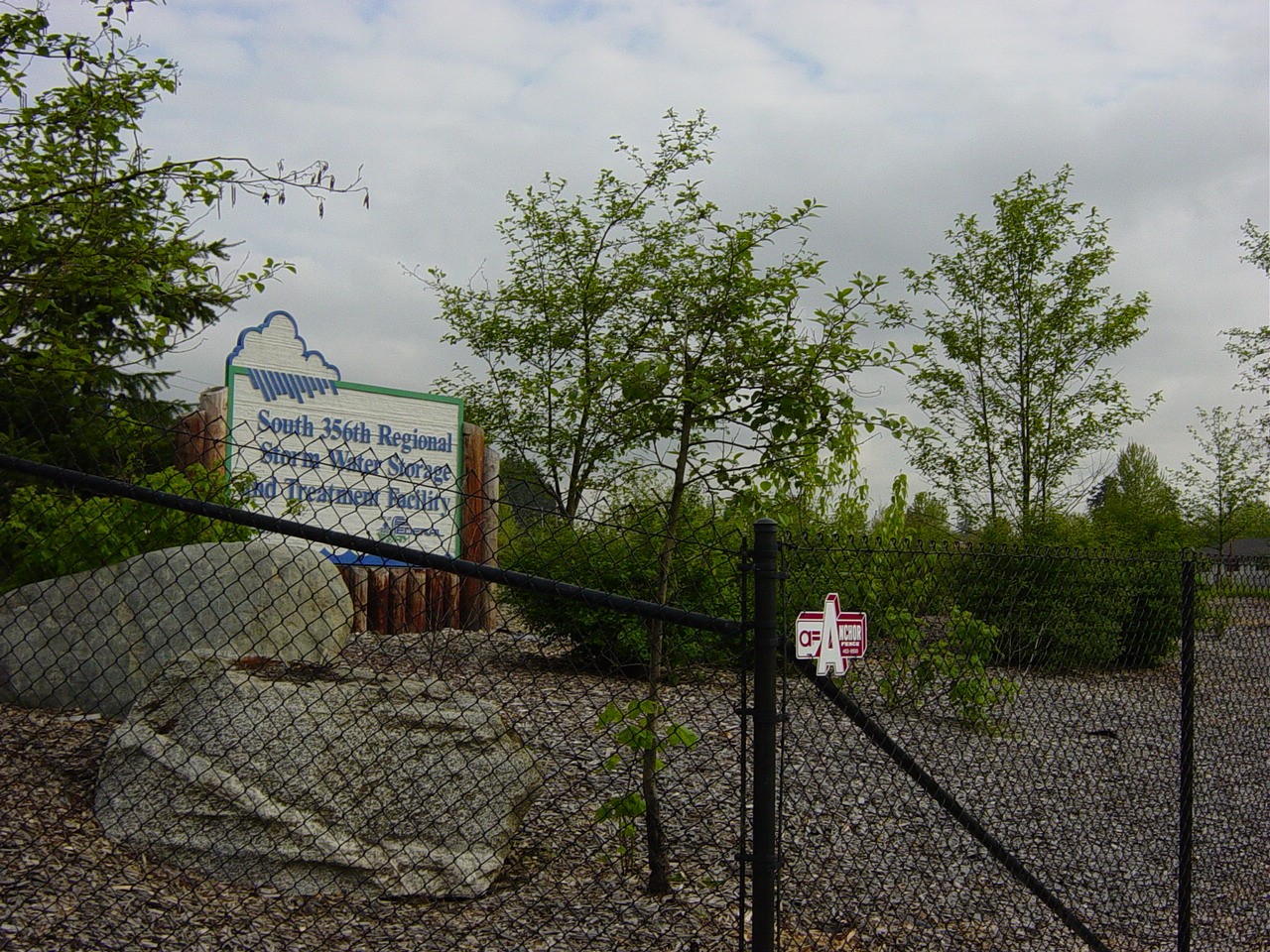
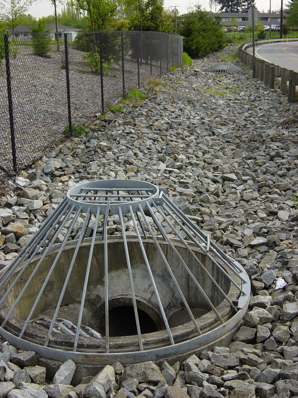
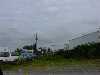
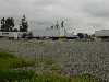
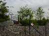
The 356th Street Regional Retention Pond is located the corner of Pacific Highway and 356th Street in Federal Way. The appearance is milky due to the turbidity at this point. The city has problems with this area because of nearby truck stop with gravel parking lots. Grease and oil end up draining into this retention pond. There is also a cement plant nearby that adds sediment to the water. This retention pond is right off Pacific Highway in an industrial area. The following photos illustrate the surrounding area and the challenges presented to surface water management in this area.
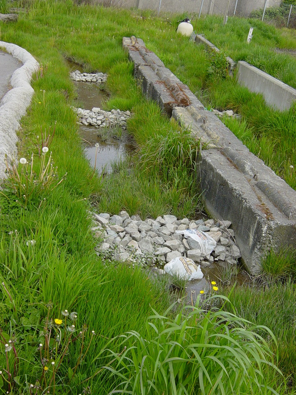
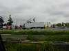
The retention pond at this site is fenced and surrounded by a gravel access road for maintenance. The sides of the pond are gravel and rocks held by wire netting. There are mallards and geese using this pond on a regular basis. This retention pond also uses a CPS to combat some of the grease and oil from the nearby truck stops. The south side houses an overflow by pass for high volumes. The ponds also slow the waters and allow sediment to sink to the bottom. The following diagram is a rough sketch of the 356th site.
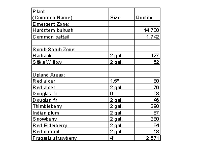
The 356th Street facility was built in 1998 (MacGillivray, 2003). The native plants that were originally planted at this site are as follows (MacGillivray, 2003).
Surrounding Land Uses
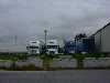
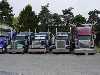
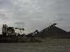
Commercial trucking zone located in Federal Way, Washington
Federal Way mitigation systems

Site 6 is on South 359th Street in Federal Way whre the North fork of the Hylebos cuts under 359th Street. The south side of this site has a fish ladder that has been installed. The site is wooded with deciduous trees providing shade in the summer months. The grade is pretty gentle and the width is clearly wider than at previous sites. However, it is still only three to four feet wide. On the north side, there is a monitoring station build into the culvert. This monitoring station only measures temperature.
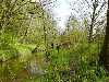
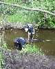
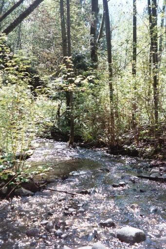
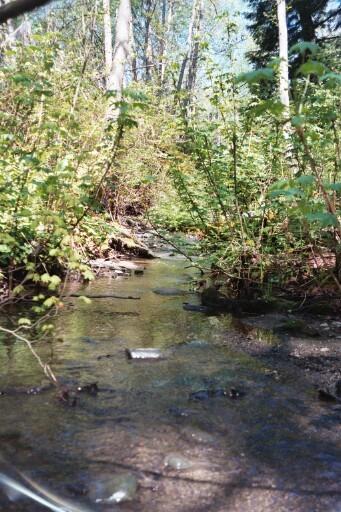
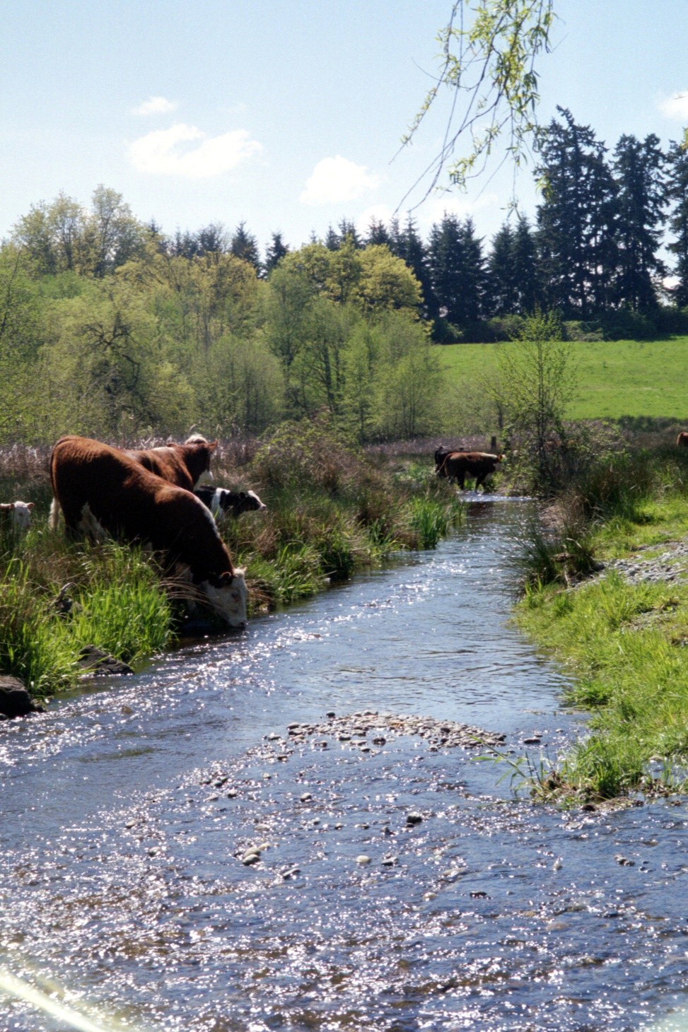
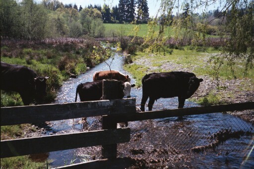
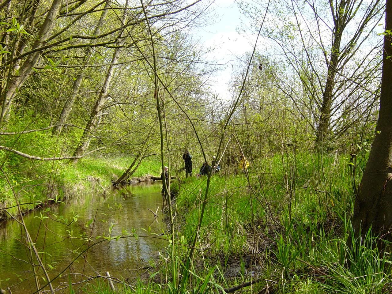
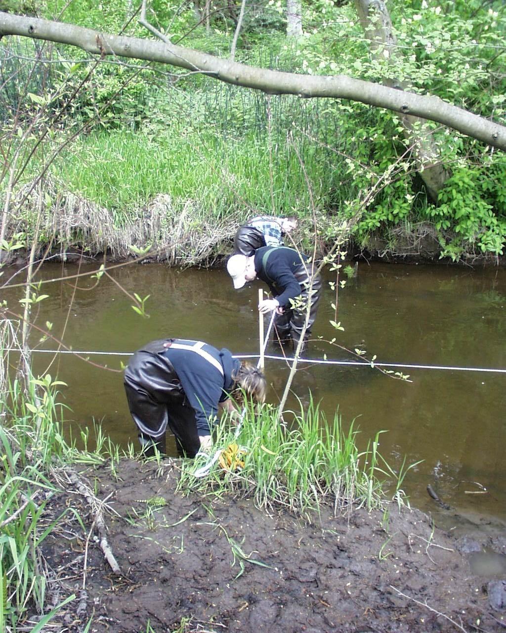
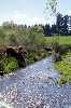
The 373rd site is on the main branch of the West Hylebos located in Spring Valley. The city maintains an ultrasonic monitoring station at this site. This measures the height and flow. Salmon have been observed spawning in this section of Hylebos Creek. The stream runs through the bottom of a valley with houses scattered on acreage. Some of the houses have sloped yards, creating potential runoff of fertilizers and pesticieds. Cows were also observed grazing along the stream with direct access to Hylebos Stream.

The Fife Maintenance Station is located off 62nd Street in Fife. The area is primarily industrial. The riparian zone a new forest area with lots of alders. There was also various types of horsetail and reed canary grass.