|
|
| Main | Introduction | Methods | Results and Discussion | Data Respository |
|---|
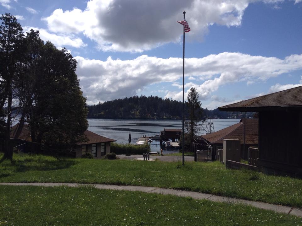
San Juan Channel & the Strait of Juan de Fuca |
|
|
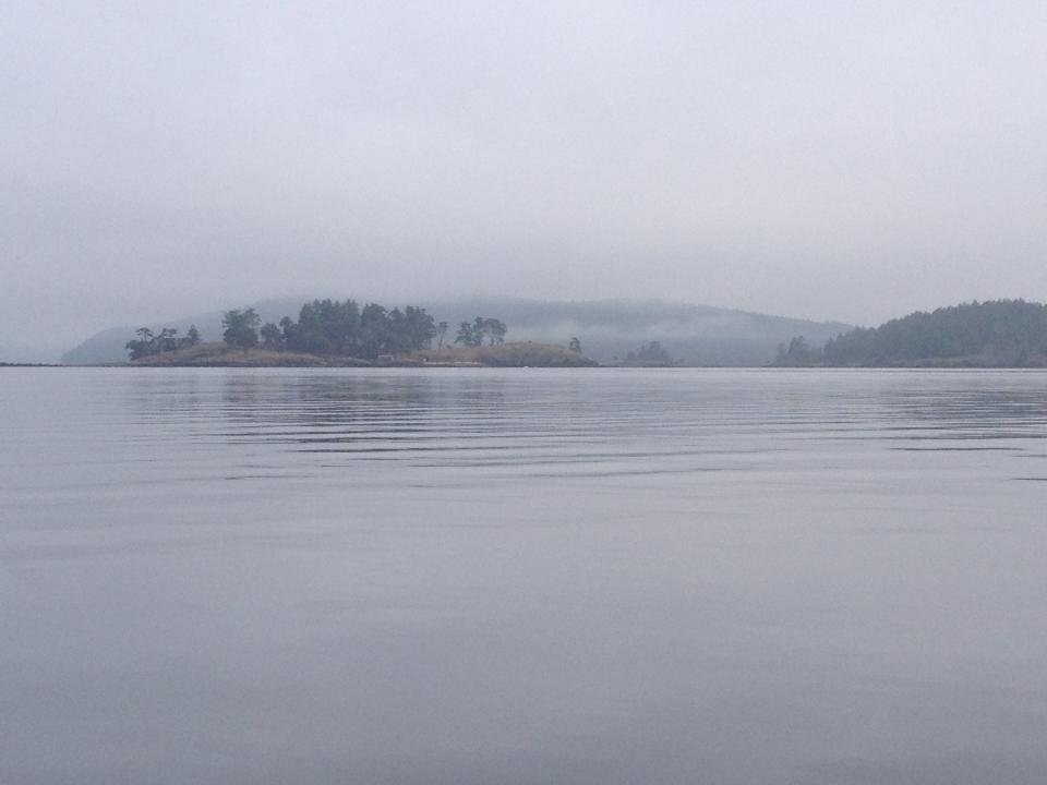
The
waterway known as San Juan Channel is nestled amidst the San Juan
Islands off
the coast of northern Washington.
This
passage extends northward from the Strait of Juan de Fuca and
circumnavigates
San Juan Island, Lopez Island, and Shaw Island.
As part of the Salish Sea estuarine system, it is
highly productive.
|
|
 |
The Strait of Juan de Fuca influences tidal action and other physical properties within the San Juan Channel. In addition, the degree to which these channels show a mixed water profile is related to the bathymetry of the basins and the presence of either flood or ebb tides. Other factors also affect stratification in the vertical water column, such as seasonal fluctuations in freshwater inflow. Taken
together, the incoming tide of seawater, the influx of freshwater, and
the
bathymetric formation of the channel floor provide excellent conditions
for
considerable mixing in the San Juan Channel. Samples taken during the
April 26, 2014,
cruise show a distinctive, dense layer
deep in the
Strait of Juan de Fuca, while the San Juan Channel exhibited a mixed
water
column throughout. The
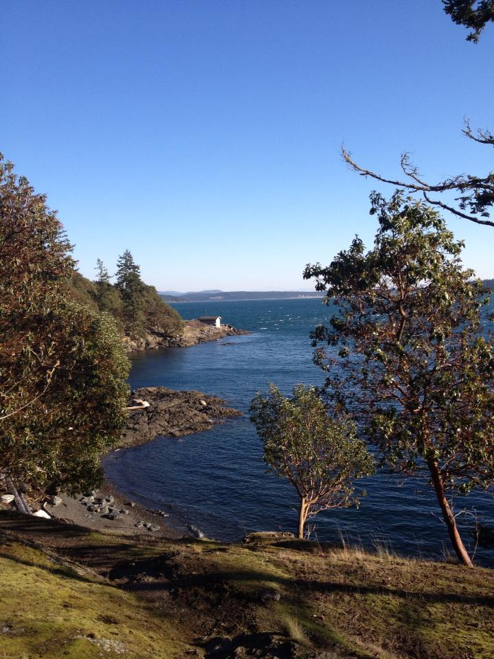
map below reveals
the rough bathymetry at opening of the San Juan Channel where it receives tidal
flow from Strait of Juan de Fuca.
From
this visual vantage point, we can see the passage between Lopez Island
and San
Juan Is
The
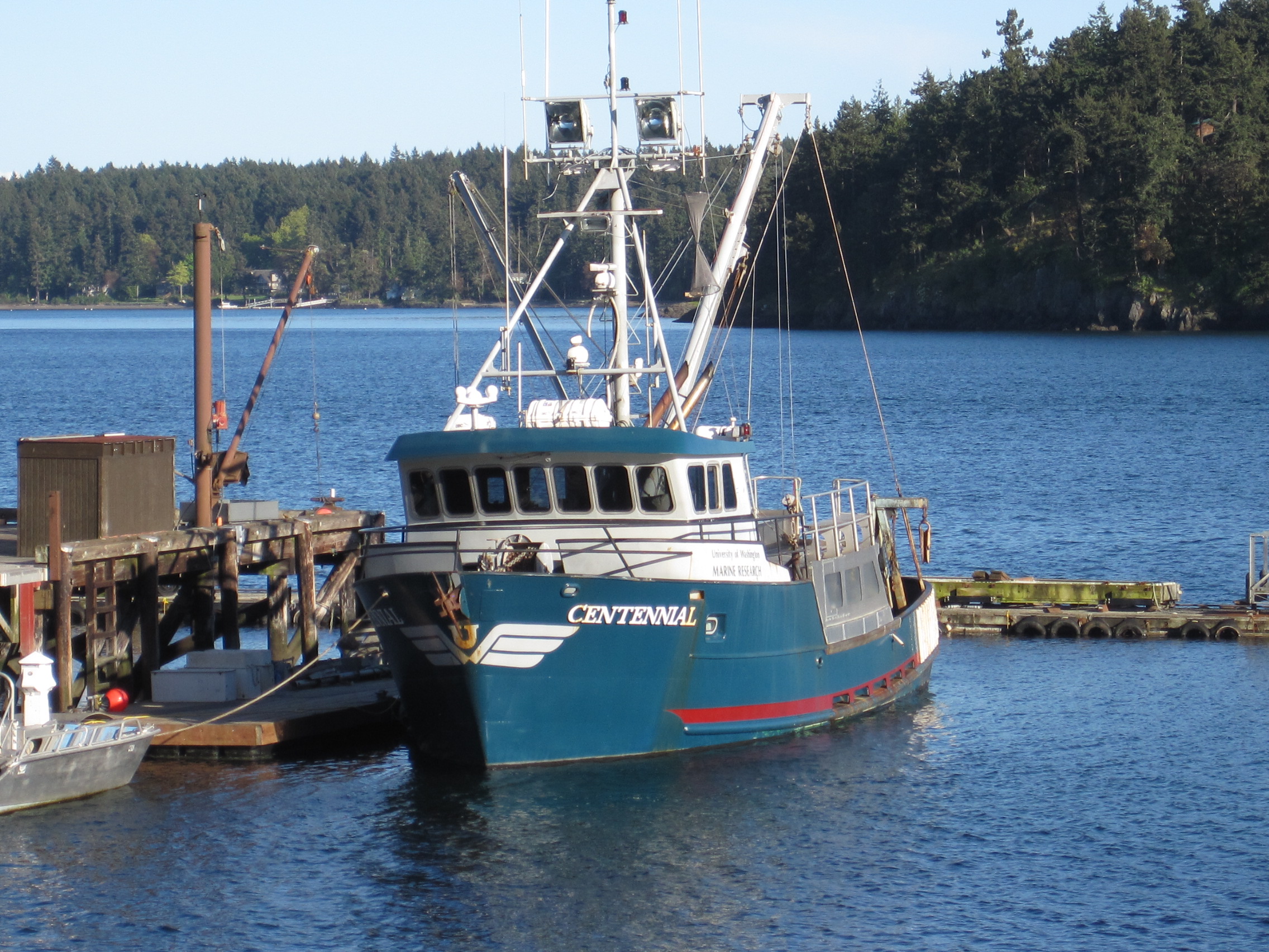
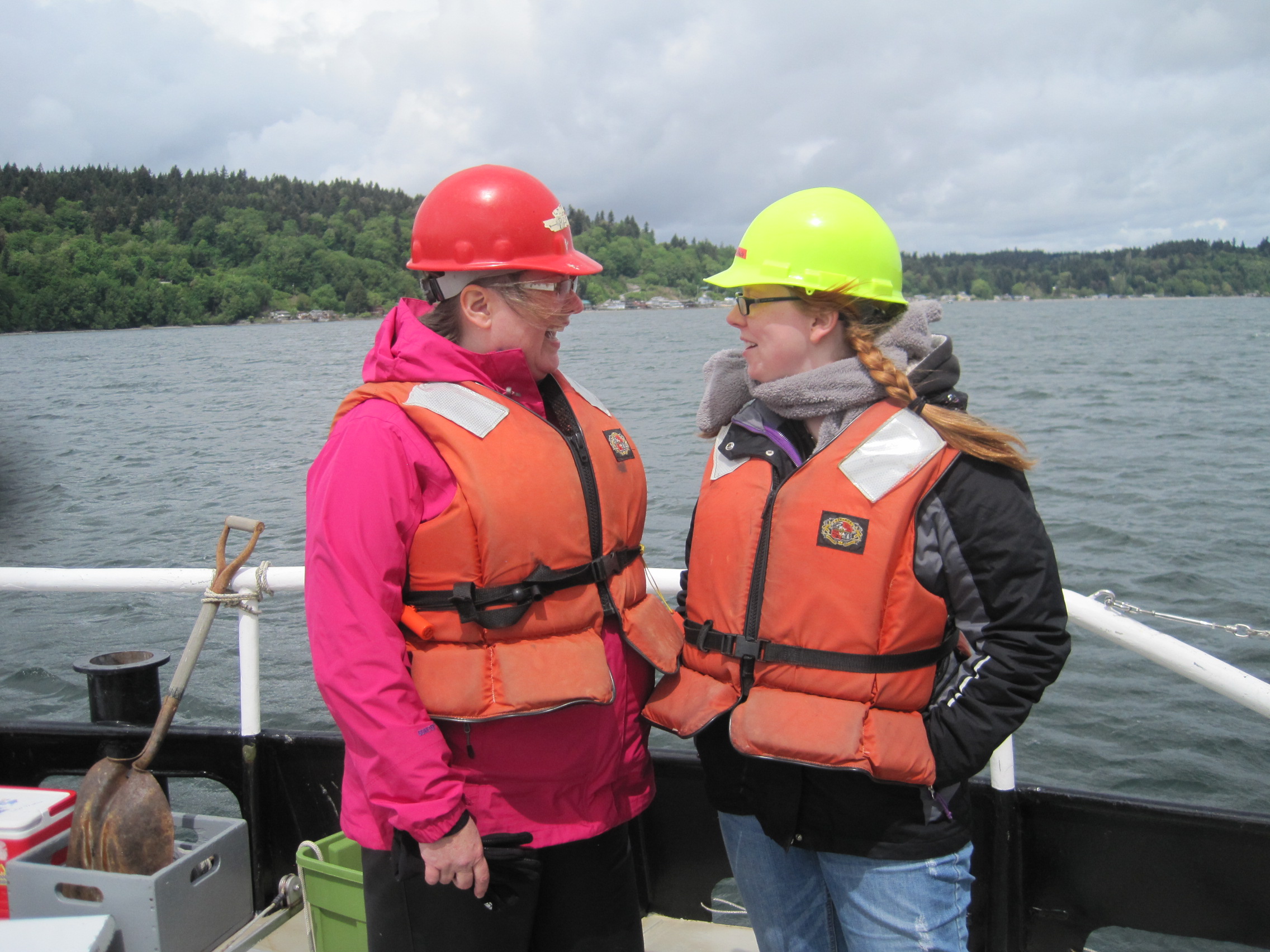
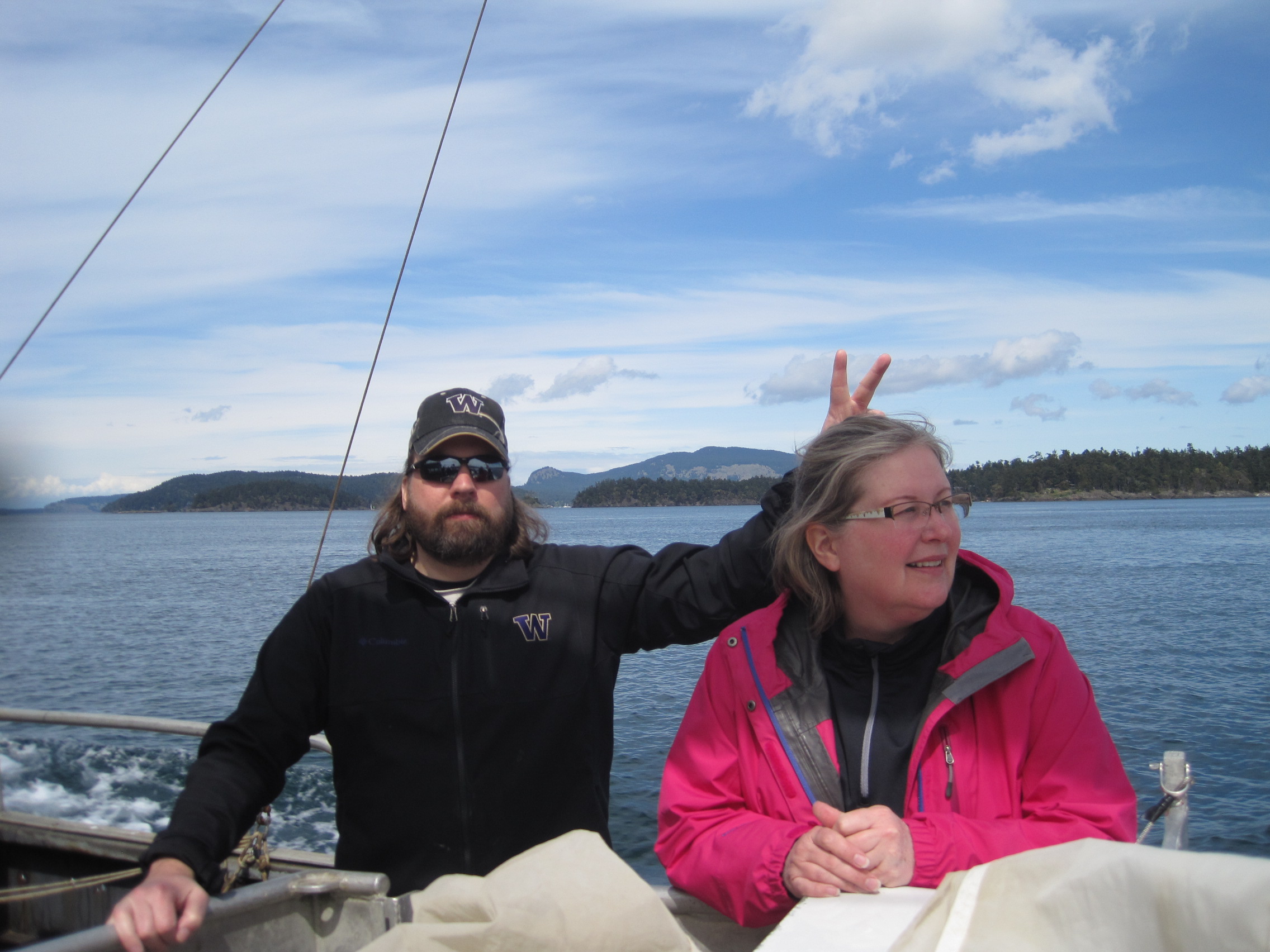
day’s samples were taken from aboard the R/V Centennial, captained by Dennis
Willows. Field work
was conducted by
members of the Spring, 2014 Estuarine Field Studies course at the
University of
Washington- Tacoma under the
direction of Cheryl Greengrove, Ph.D., Associate
Professor, Interdisciplinary Arts and Sciences.
|
San Juan Islands: Centennial Cruise 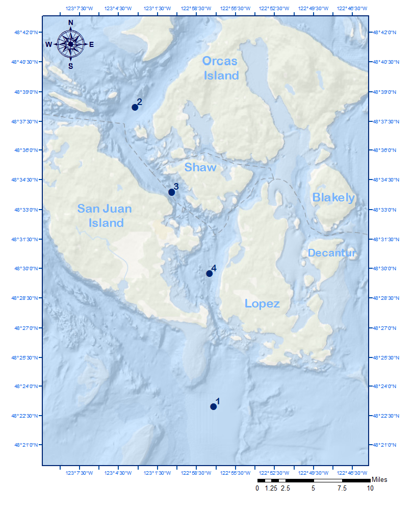 |
Station Locations Sampling for the day
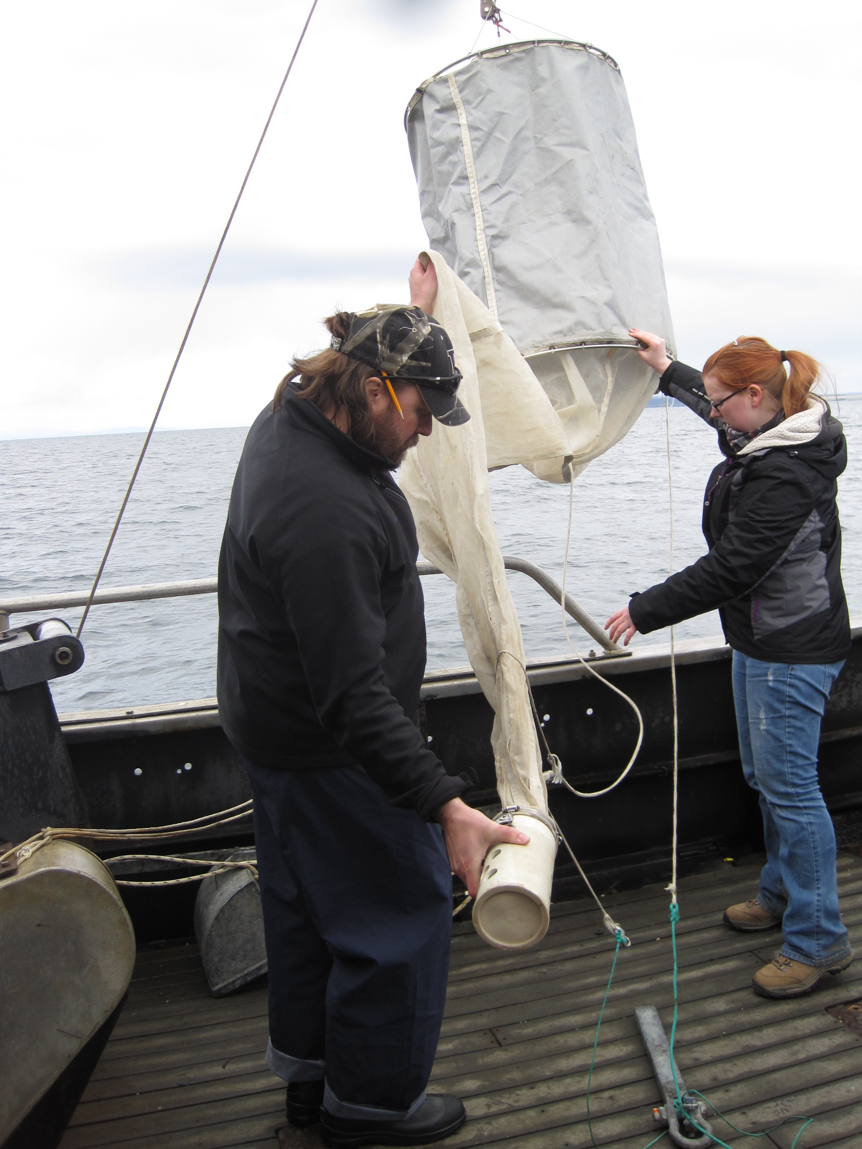
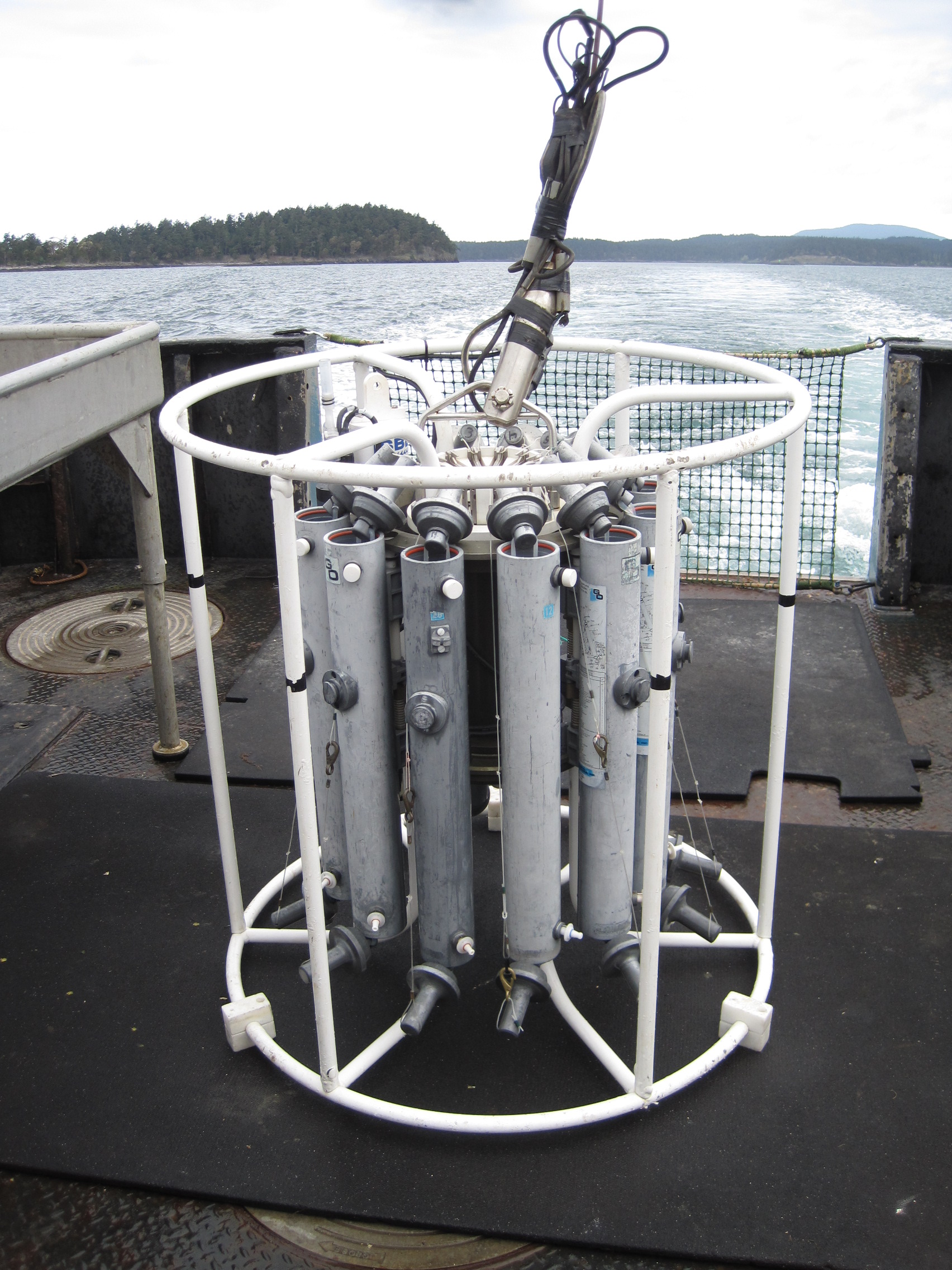
began in the Strait of Juan de Fuca at Station 1, the southernmost waypoint for the day and traversing north into San Juan Channel for the remaining stations. The table below provides specific sampling locations sorted by time of sampling.  Samples Collected The table depicting samples collected shows dissolved
oxygen, chlorophyll, nutrients, and phytoplankton were obtained at all stations
while zooplankton was taken from two stations. Sediments and microplastics were each sampled from one location. 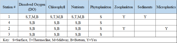 |
| Tides: April 26, 2014 The semi-diurnal tide (two high and two low tides each day) depicted in the NOAA chart below shows the sampling aboard the R/V Centennial took place within the six-hour period marking the second flood tide of the day. Flood tides bring ocean water into the straits and channels. The denser, salty water settles deep in these basins and creates a distinctive upper and lower layer within the water column. This phenomenon was evident in the Strait of Juan de Fuca. Alternatively, significant freshwater inflows, common during the spring season, are responsible for creating a well-mixed water column despite flood tide conditions. This dynamic was evident in San Juan Channel. More details and graphs about water column stratification can be found in the results/discussion section. 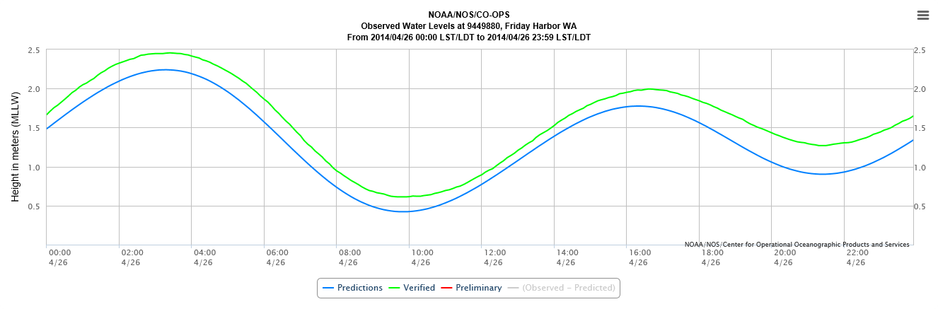 | |
 The
San Juan Island pages were composed by Shirley Low and Michelle Brant The
San Juan Island pages were composed by Shirley Low and Michelle Brant |
 |
 |
 |
 |
 |
 |
| References Ebbesmeyer CC,
Cannon GA. 2001. Review of Puget Sound physical oceanography
related to the triple junction region.
Seattle (WA): Report for King
County Department of Natural Resources. [PSAT] Puget
Sound Action Team. 2007. 2007 Puget Sound Update: Ninth Report of the Puget
Sound Assessment and Monitoring Program [Internet]. [cited 2014 May 23]. Available from http://www.psparchives.com/publications/puget_sound/update/07update/2007_PS_Update.pdf Strickland
R. 1983.
The fertile fjord. Seattle
(WA): Washington Sea Grant Program,
University of Washington. Sverdrup K,
Duxbury AC, Duxbury AB. 2005. The world's oceans. 8th edition.
New York (NY): McGraw Hill. Ch 12. [USGS] Warrick
J, Stevens A, Miller I, Gelfenbaum G.
2011. Coastal processes of the Elwha River Delta: Biological and physical patterns and
processes prior to dam removal. [Internet.] United States Geological Survey [cited
2014 May 30]. Available from http://pubs.usgs.gov/sir/2011/5120/pdf/sir20115120_ch5.pdf Zamon J. 2002.
Tidal changes in copepod abundance and maintenance of a summer
Coscinodiscus bloom in the southern San Juan channel, San Juan Islands, USA. Marine Ecology Progress Series. 226:193-210. |
| Main | Introduction | Methods | Results and Discussion | Data Respository |
|---|