 |
 |
 |
| Main | Introduction | Methods | Results & Discussions | Data Repository |
|---|
| The
Puget Sound is a fjord type estuary divided into four main basins.
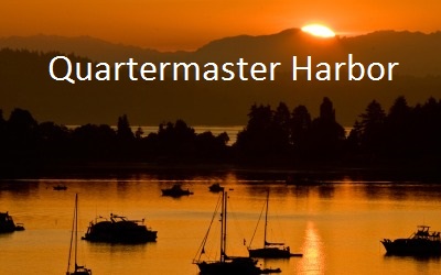
Located in the main basin of Puget Sound is Quartermaster Harbor, a bay
inside the Vashon-Maury Island that consists of 3,000 acres of
water surface area with a depth of 5-6 meters in the inner harbor and
11-46 in the outer harbor. The largest contribution of fresh water
comes from
Judd Creek located in the inner harbor. At the entrance of the bay lies
a sill which is followed by a steep drop off which can be seen in the
surfer plots on the results and discussions page (King County 2014).
Due to the enclosed geography of the inner bay to Quartermaster Harbor,
flushing rates vary from 20 to 100 days whereas
the outer harbor can be anywhere from 10 to 40 days (Alberston
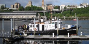
2013). The low flushing rate, combined with anthropogenic nutrient sources and the resulting high concentration of phytoplankton, contributes to the high level of stratification in the harbor (King County 2014). Following spring blooms, decomposition of phytoplankton on the harbor bottom rapidly depletes dissolved oxygen, creating a eutrophic system. The sediment of Quartermaster Harbor has also been shown to have easily the highest concentration of Alexandrium cantenella cysts in Puget Sound (Horner et. al 2011). When motile, this dinoflagellate produces a toxin that is a major contributor to paralytic shellfish poisoning. Captain: Bob Goodman Crew: Julie Masura, EJ Rauschl, Alison Dunn, Taylor Wesenberg, Rafi Azami, Shirley Low, Lauren Reetz, Richard Davis, Corey King, Brandon Spencer |
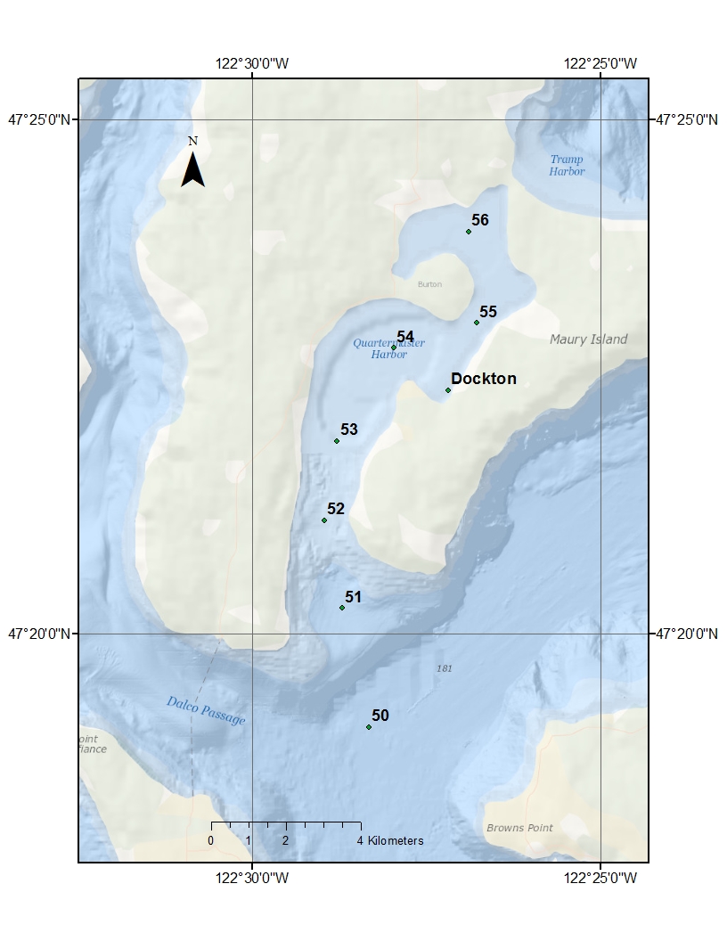 |
| Name | Landmarks | Latitude (N) | Longitude (W) | Depth (m) | Time (PDT) | Sampling |
| 50 | Outer Harbor | 47.318833 | 122.4729166 | 176 | 14:00 | C,N,P,Z |
| 51 | Outside Mouth | 47.33623 | 122.4787666 | 52 | 13:20 | C,N,P,S |
| 52 | Mouth | 47.35028 | 122.48333 | 20 | 12.46 | C,N,P,S |
| 53 | Between Central Outer Harbor and Mouth | 47.363133 | 122.48045 | 18 | 12:06 | C,N,P,S |
| 54 | Centeral Outer Channel | 47.378595 | 122.4673166 | 13.5 | 11:24 | C,N,P,S |
| Dockton | Dockton Dock | 47.373126 | 122.4532783 | 6 | 11:01 | C,N,P,S |
| 55 | Inner Channel | 47.38396833 | 122.446866 | 15.42 | 10:18 | C,N,P,S |
| 56 | Inner Harbor | 47.3984583 | 122.448805 | 5.6 | 9:42 | C,N,P,S |
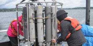
N-Nutrients, P-Phytoplankton, Z-Zooplankton, C-Chlorophyll, S-Sediments
*Microplastics tow in the Thea Foss Water Way.
The weather at the beginning of the trip to about 10am was overcast, wind, and slight sunbreaks. Some small amounts of rain around 10:30am. From 11-12am the wind persisted but the sun came out for some time. The rest of the trip was moderate to heavy rains with periodic wind increase.
 |
 |
Acknowledgements:
Thank you Bob, the captain of the R/V Barnes, for the memorable day and the full fridge!
Works Cited:
Albertson S.
2013. Quartermaster Harbor Nitrogen Management Study. Hydrodynamic
Model Report
[Internet]. Seattle (WA): Washington Department of Ecology; [cited 2014
Jun 5].
Available from:
https://fortress.wa.gov/ecy/publications/publications/1303026.pdf.
Horner RA,
Greengrove CL, Davies-Volllum KS, Gawel JE, Postel JR, Cox AM. 2011
Spatial
distribution of benthic cysts of Alexandrium
catenella in surface sediments of Puget Sound, Washington,
USA. Harmful
Algae 11: 96-105.
King County. Quartermaster Harbor Nitrogen Management Study: Final Study Report [Internet]. 2014. Seattle (WA): King County, [cited 2014 May 3]. Available from: http://your.kingcounty.gov/dnrp/library/2014/kcr2528.pdf
Middle banner image by Pete Murray
http://www.komonews.com/weather/blogs/scott/50502497.html
Return to Top