Introduction to Geographic Information Systems in Forest Resources
| Introduction to Geographic Information Systems in Forest Resources |
|
|||||||||||||||
|
|||||||||||||||
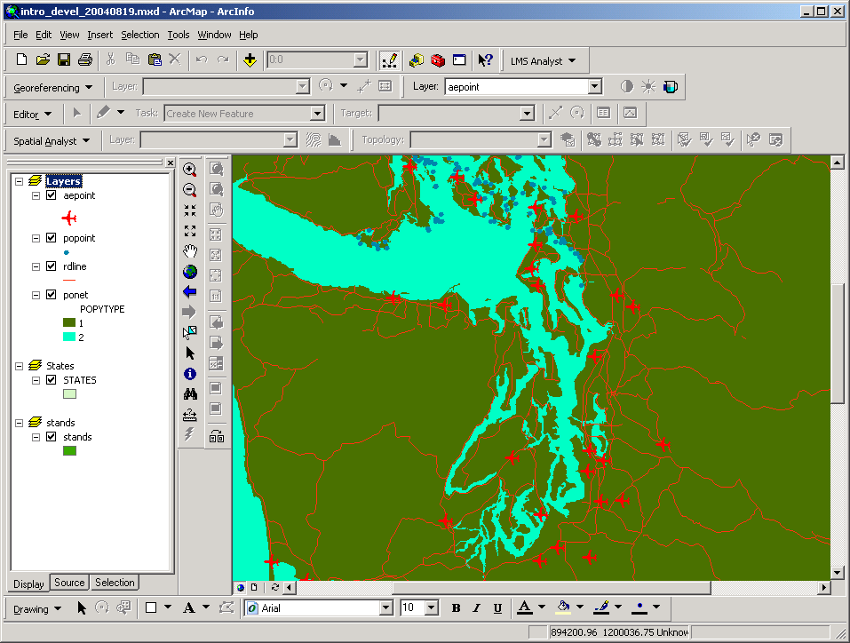
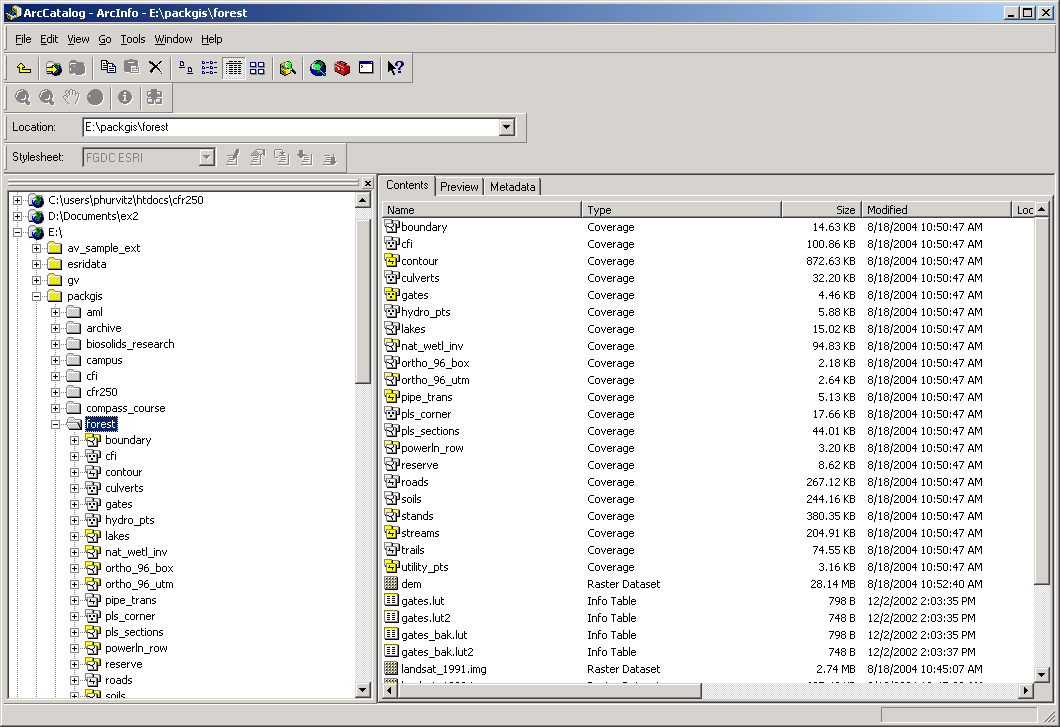
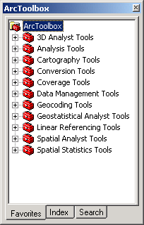
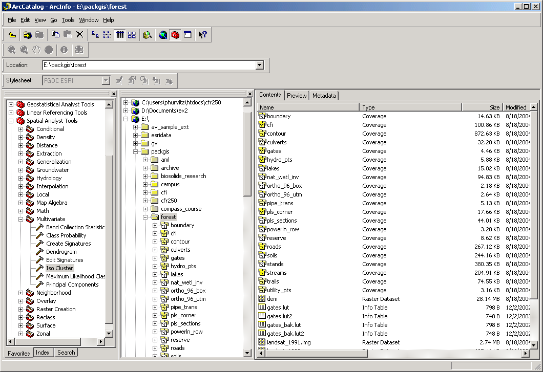
The three main applications we will use this term are ArcMap (for display and query of geographic information), ArcCatalog (for management of geospatial data), and ArcToolbox (for spatial analysis). Below are images of each of the applications, which will be detailed in a following section, ArcGIS Modules.
ArcMap displays geographical data. This is the module you will interact with most frequently.
ArcCatalog displays drives, database connections, and folders on the left-hand pane. Individual files can be displayed on the right-hand pane.
ArcToolbox contains a number of different toolboxes for various geoprocessing functions. These range from things as simple as converting data type to things as complex as multivariate statistical analysis in multidimensional space.
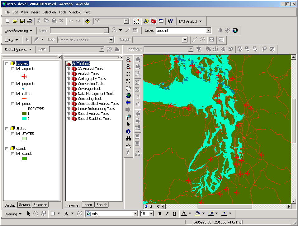
Here are a few images of the interface showing ArcToolbox docked in ArcMap and ArcCatalog.
Return to top | ahead to the ArcGIS GUI.
|
|||||||||||||||

|
The University of Washington Spatial Technology, GIS, and Remote Sensing Page is supported by the School of Forest Resources |
School of Forest Resources |