Site Report #2 Environmental History

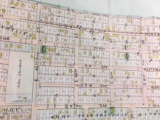
Map of University District 1905 from the University of Washington Library, Special Collections.

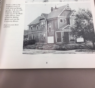
Photo published in 1986 book. Picture of a house built in 1899 on the corner of N.E 43rd and Brookln Ave N.E. House built for Mr. Maloney. Picture obtained from the University of Washington Library, Special Collections.

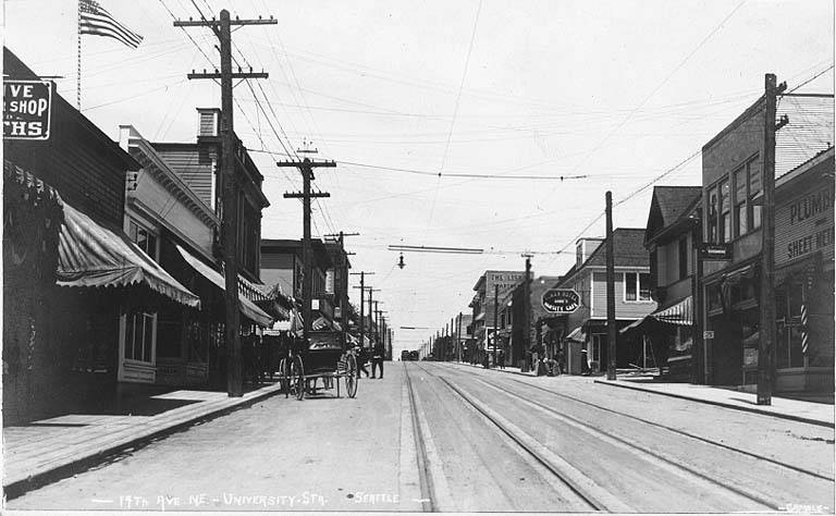
View of 14th Ave N.E. Seattle WA. 1912, from the University of Washington Library, Special Collections.

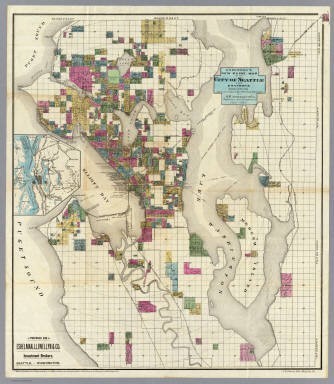
Photograph is a map of the city of Seattle,1890 photograph from University of Washington Library, special collections.
Before settlers came Duwamish Indians lived in the area. These Native Americans lived in winter villages and had trails that connected them to other villages, water, and burned areas. The burned areas were cleared to hunt and to farm berry crops. Some of the crops the Native Americans grew were: salmonberries and blackberries. Some of the animals they hunted in the area were, deer, cougar, elk, etc. There were also plenty of streams nearby. Once people started to settle into thte area, Indians were pushed out. People chose to settle here because of the nearby water, abundant farming, hunting, and plenty of trees to use to build.
University District use to look a lot different back in the day, especially Block 15. The topography of the area has not changed much compared to the 1900s. In the 1900s the area consisted of more trees, on average 300ft. tall and 20 ft. in diameter. The area was heavily forested with a small meadow north of lake Union. Until the early 1900s, the area was pretty rural and contained small farms, woods, and dairies. Residents noted having views of Queen Anne and other places todays residents cannot see. Today people can still see the first brick building in the area on block 15, Nichols building. People can also see how some of the older buildings are made out of different material compared to the newer buildings.
Logs were put down on the road to make transportation more accessible. Located on 42nd St and University Way was the University Station. Students who took the street car would wait here, and also people who did not want to walk in the rain. The steet car did not run frequently, once about every 45 minutes. It was built here because this street was the only entrance to campus. About 1906, 42nd St was graded and paved; right before the fair, all of Seattle was graded and paved. Before this most of the sidewalks were logs and afterwards concrete. The styles of the houses people lived in were Tudor revival, colonial revival, American foursquare, and Craftsman. Also around the same time Nichols building was built, so too was the first concrete building in the area. The brick that was used to build Nicholds building is still there today.
Once University Way NE, formally Columbus Ave and 14h Ave NE, was annexed to the city of Seattle, it allowed the growth of new development to commence. The block consisted of many shops such as dance studios, meeting halls, flower shops, post office, theater, etc. This area of the University district became very popular. Now a days, if you go to this block , you would not be able to see any of the trees or streams that once covered the area. Instead people see a bunch of shops, construction, and overcrowded streets. It's interesting to also see the different parts of the block that seem cleaner and more upbeat compared to parts that seem dirtier and duller.