Site Report 2

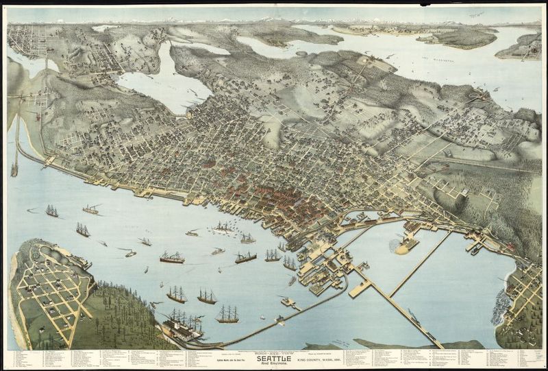
A drawn rendition of the Seattle area in 1891. Augustus Koch; Library of Congress, Geography and Map Division; 1891.

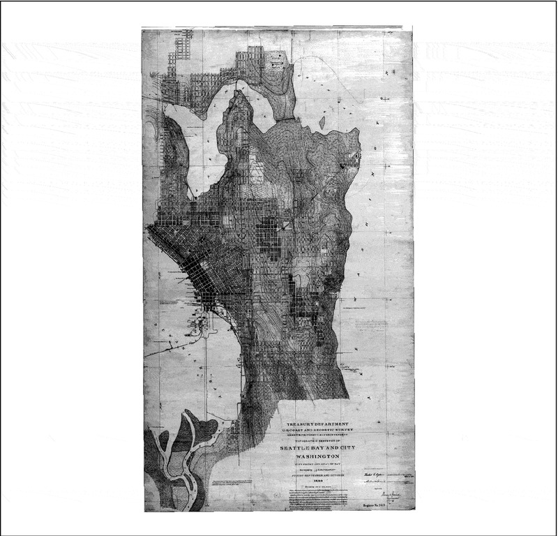
A topographical map of the Seattle area. Puget Sound River History Project; http://riverhistory.ess.washington.edu/; 1899.

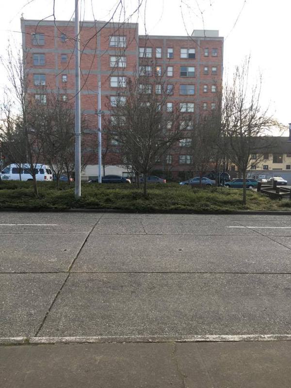
A sample of plant life on block 29. Photograph taken by author; 01/24/17.
The early environmental history of Block 29 is fairly obscure, given that it was one of the earlier areas within the University District to be developed. However, there seems to be a consensus from online and textual library resources (as well as modern physical evidence) of a few natural features: the dominant plant life in the area consists of douglas fir and red cedar trees. In this particular block, the trees were presumably more sparse than in northern areas due to the proximity to the water. Before development, there was originally a gentle incline away from the water; this incline still exists today for the most part -- very little regrading was required.
The land was first surveyed for development around the year 1855. Buildings were built by the year 1893, as is evidenced by the included map. The largest natural barrier to construction in this area were most likely the trees that needed to be cut. This clearing of trees may have actually happened at an earlier date, seeing as there was also an established railroad by 1893 (what is today the Burke-Gilman trail). By 1909, the year of the Alaska-Yukon-Pacific Exposition (a world’s fair), this block was most likely owned by the University and fully developed over. Based on general observations in the whole northwestern region, deforestation in this area initially led to a small amount of land erosion. This erosion was largely muted by the development of infrastructure on the land.
Today, the land is entirely covered in concrete and city infrastructure. The only natural elements are small reserved areas for decorative trees and the like. Local flora are abundant and seem to grow easily in these areas; this is an indication of how green this block once was. As the area was originally located near a swamp-like terrain, there remain today several drainage mechanisms for dealing with flooding due to large amounts of rain.
