Site Report #2
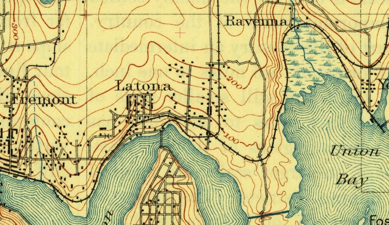
A red cross marks the present-day location of University playground. 12/1894. United States Geological Survey.
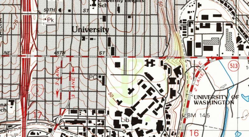
A red cross marks the position of University Playground in a street grid from a much more recent decade. 1983. United States Geological Survey, National Ocean Survey. United States Geological Survey Topographical Map Collection.
A topographic map including the University District from 1894 shows my block within two 25-foot countour intervals of a line marking 200 feet above sea level. In 1983, another topographic map of the area shows the block within 10 feet of 75 above sea level, so the block has lost at least a few dozen feet in elevation since 1894, probably from hills being cut down heavily for construction. The later map also shows the north and south sides of the block within just over one 5-foot contour interval of each other, which means that by 1983 the block had already been leveled.
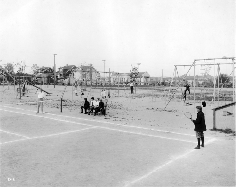
Boys playing tennis at University Playground. Taken 1913. Seattle Municipal Archives. Don Sherwood Parks History Collection.
A 1913 photograph captures a group of boys at University Playground. There appears to be no grass except for a few darker patches on the ground in the photo, which may just be soil. The photo shows a very flat ground. If the houses in the background of the photo sit where the houses on the southern side of my block do, it looks like significant regrading did not take place around this block between when this photograph was taken and when the later map was created.
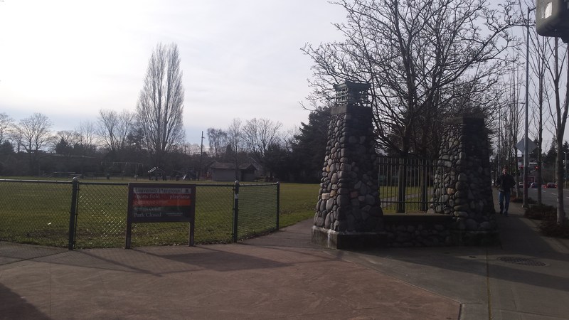
On the right is NE 50th Street, and behind the camera is 9th Avenue NE. On the left, the play structures in the distant corner are visible. Photograph by author, 02/02/2017.
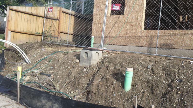
The area in front of the house under construction is much less polished, while the presentation of the surrounding houses makes it less obvious that the residences sit on land elevated several feet above the roads in front of them. Photograph by author, 02/02/2017.
Today, the block remains very level, from the north end of the block to the houses on the southern half. Grass covers an overwhelming majority of the area of the playground. From both entrances from busy streets, the grass extends until the corner of the lot farthest from those streets. One side effect of this placement is that children on the play structures are as far away as possible from the exhaust from surrounding traffic. In contrast, the old photograph shows play structures more spread out across the lot than they are today, smog being less of a concern when automobiles were much less widespread.
As in 1913, trees line the sidewalks by the residences today. The smaller ones in the park don't push up from under the walkways, but there is a tree on the corner of the residential portion of the block that has really dislodged some sidewalk tiles.
