Site Report #2: Environmental History
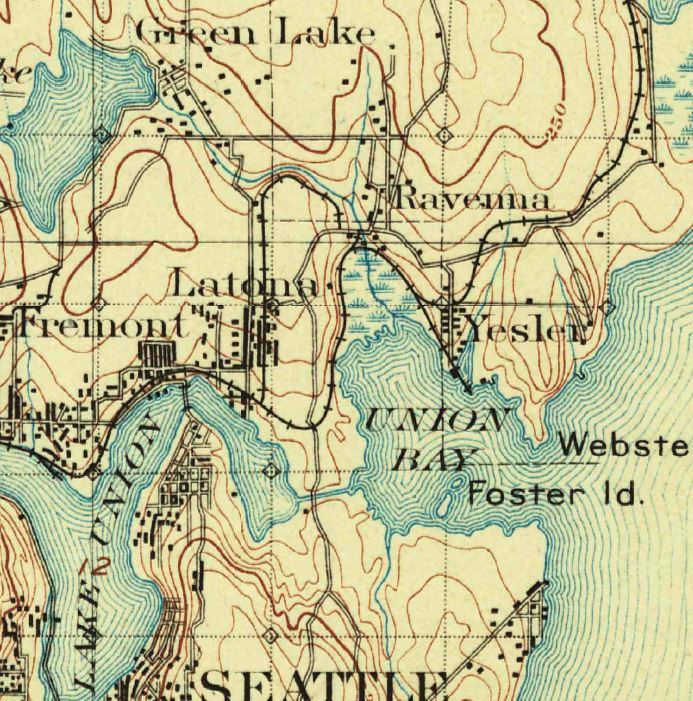
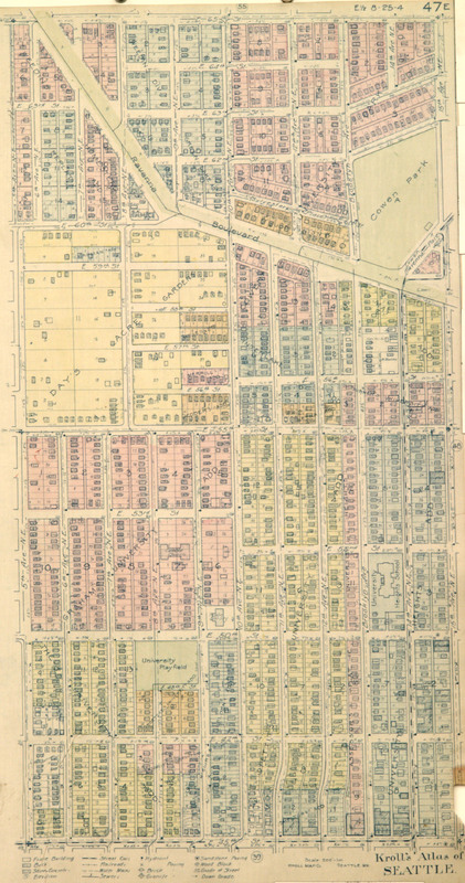
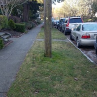
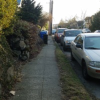
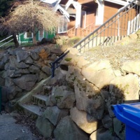
Looking at early topographical maps of Seattle has led to a few deductions about the original "natural" state of block 71. As you can see on the topographical map of Seattle shown above, there was a stream that ran from Green Lake to Union Bay, its path taking it slightly north of my block, not directly through it. Part of this stream still runs through Ravenna Park. The map also indicates that my block sits at a higher elevation than the stream. Other topographical maps from the mid twentieth century indicated some steep slopes in the terrain on which my block sits. Upon inspection, these indications held true. There is still some steep sloping on my block. This leads me to believe that the terrain of my block has not been heavily transformed, certainly not to the extent seen with the Denny Hill Regrade (see picture below). Early reports of the University District before the land had been built on indicate that the land was heavily forested and sloped from north to south (Lawrence 1). This slope is still evident today, and it seems that in general no extensive regrading has been done in the University District. A picture of my block before anyone had arrived would likely show a portion of dense forest situated on a hill that slopes from east to west, with a slight hill from north to south. While the dense forest no longer remains, the slope is still visible (see picture below).
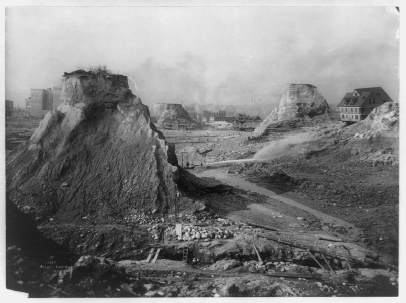
A view of the Denny Hill Regrade in progress. Seattle, WA. Taken on 1911-06-19. Seattle Municipal Archives Photograph Collection.
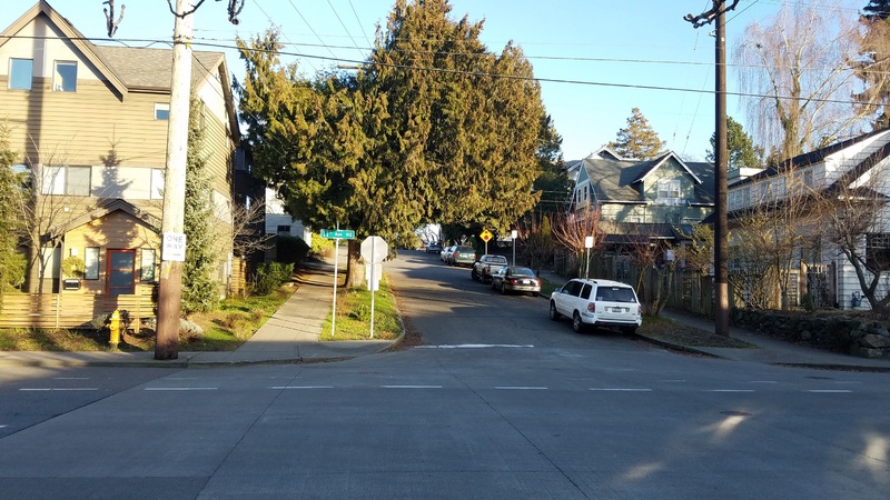
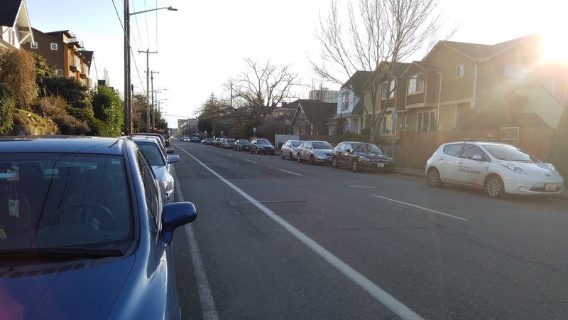
Here is a look east on NE 52nd Street, taken at the intersection of NE 52nd and 11th Avenue NE. The hill slopes up, the bottom being at 11th Ave NE, with an incline as one walks eastward on NE 52nd street. The slope inclines all the way to 12th Ave NE where it levels off. Taken by Nolan Duckworth on 2017-02-01.
The hilly bunch of trees that was my block in the nineteenth century has transformed over time into what it is today. It is likely that the bulk of this transformation, including the removal of most of the trees, occurred sometime between 1905 of and 1915. This was a time of extreme growth for the University District (Tobin and Sodt 10). The University of Washington was growing, and streetcars and railroad connections made everything, including the economy and settlement, move a bit faster. The block sat far enough away from the water and from the Ave to become a perfect place for residential. It followed the pattern of late nineteenth and early twentieth century cities where business and commerce would be centered around the water, with residential further away. With constant improvements in transportation such as the streetcar and the railroad, people could afford to live further away from the action. Because my block is not too far from the commercial part of the University District, it is likely that the bulk of its development occurred with the development of these commercial areas. The distance was likely not great enough to discourage settlement.
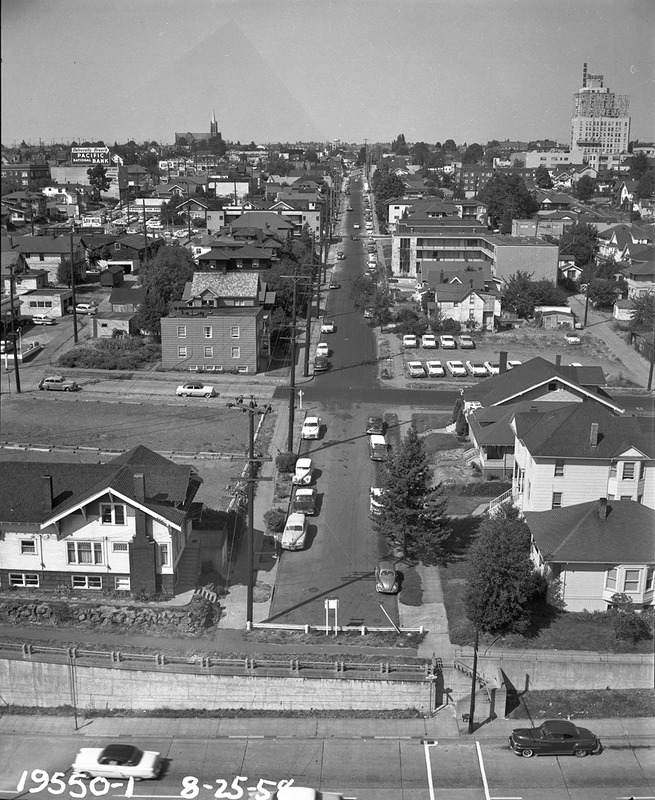
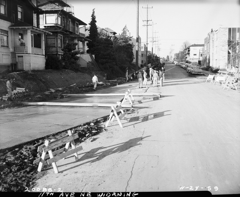
View of beginning of 11th Ave widening, taken from Terry Hall. Seattle, WA. Dated 1958-08-25. Seattle Municipal Archives Photograph Collection.

