| Dr. Moskal's Website | RSGAL | JRBP | |
|
|
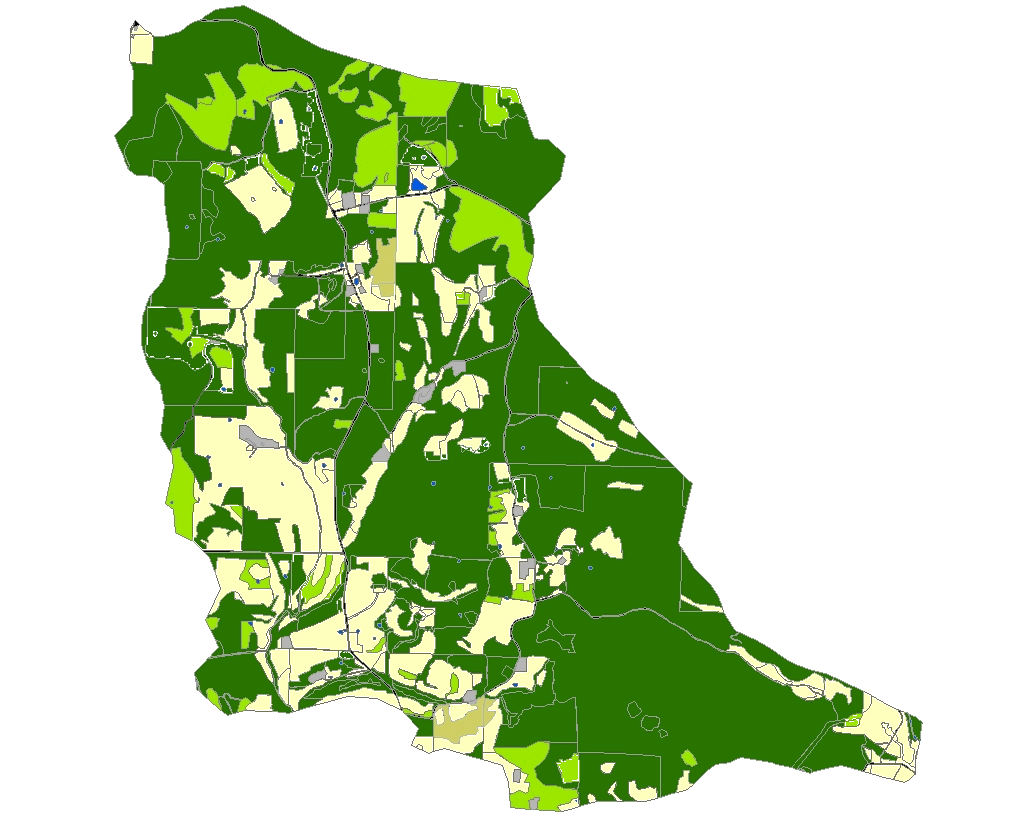
The following is the land use/ land cover change map for the Tumbling Creek cave recharge area (cave is located in the lower right hand corner of the map) based on aerial photography from 1961, 1967, 1995, 2002 and 2003. The animated map was produced as part of Dr. Moskal's 2005 Digital photogrammetry and GIS course project.
Animation begins in 1961 and ends in 2003
|
||
© 2003 - 2011 Dr. L. M. Moskal - Last updated on 07.01.11 17:18 |
|||