Site report 3

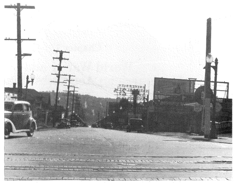
1940 picture taken on 45th looking south down Roosevelt way, Block 04 is to the left. (Nielsen 90)

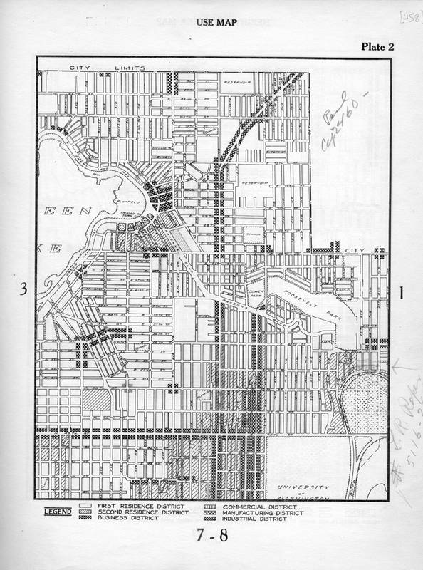
1923 zoning map showing Block 04 as split between business district and second residence district zones. (Seattle Municipal 2017)

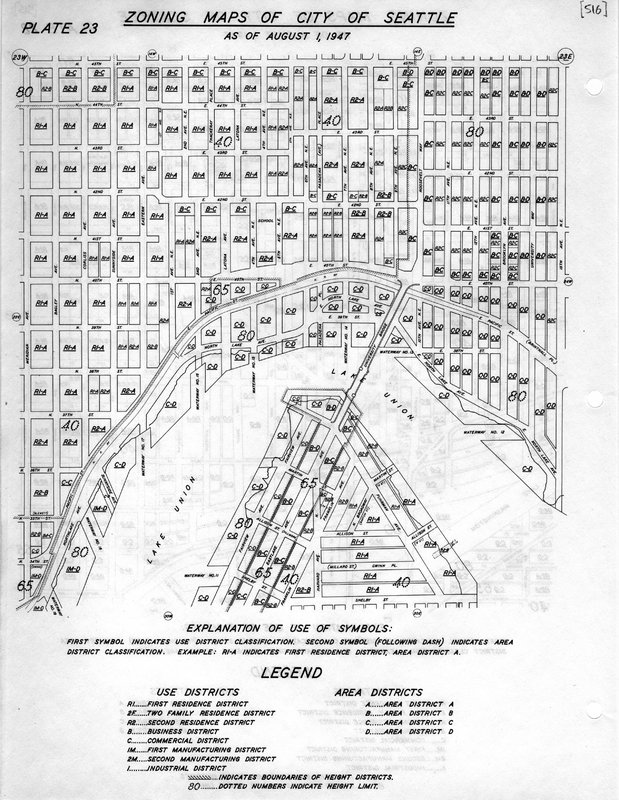
1947 zoning map showing Block 04 split between similar but updated zones as the 1923 map. (Seattle Municipal 2017)
Block 04 began as a forested slope overlooking the eastern edge of Lake Union, home to the native Duwamish people, the original inhabitants of Seattle. European settlement began during the middle of the 19th century, an event that would forever change the course of history in the area. By the turn of the century the University District was rapidly growing and developing spurred on by the relocation of the University of Washington to its current campus and the Alaska Pacific Yukon Exposition that occurred on the campus in 1909 (Nielsen 20). By now block 04 had been formally established with roads and a central alleyway and divided into lots. At this time, the majority of development on the block came in the form of single family residential housing. The Seattle Fire department set up an engine house on the NW corner of the block, alongside the main thoroughfare of 45th, which at that time had a streetcar running down it (Kroll 1920).
The main change that affected block 04 and the rest of the central U-district throughout the 20th century was the growth of population and a new economy driven by the University of Washington. Today, Block 04 has a much more commercial character and zoning, evidenced by the retail development alongside 45th, as well as the Roosevelt Commons office complex, built over the area many single family homes used to occupy. These buildings are also reminders of the knowledge based economy that has taken over Seattle, as they host administrative functions of two main research facilities: Seattle Children’s and the UW (Roosevelt 2017).
While the block is much more dense and multipurpose today, there are still relics of the past suburban residential feel. Walking south down Roosevelt Way, the character of the block suddenly becomes much quieter, similar to how it must have felt in the early 20th century. A single-family home remains in the SE corner of the block, left untouched by the development that has touched every other portion of the block. Furthermore, 45th Street remains a busy route and center of activity, with busses replacing the streetcar that once ran there.
