Site Report #1: The Deep Read
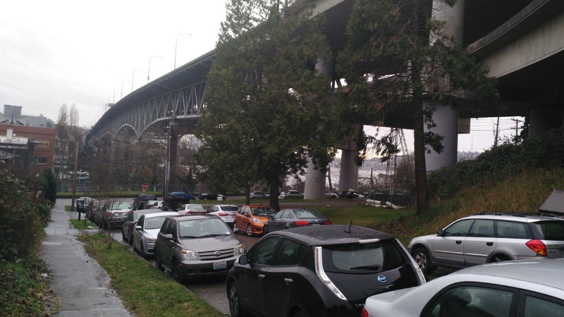
One of the most immediately noticeable features of my block is the I-5 overpass. The close proximity has two main effects. The first is the sound from the cars. Not only is the block extremely close to the I-5, but it also borders an express lane entrance. The sound from a few blocks away is a low rumble but on Pasadena, the street closest to the overpass it's a constant roar. It makes me wonder why there wasn't any sort of sound barrier built as this seems to be missing from the construction. You also do not realize just how big the bridge is until you’re standing almost directly underneath. The massive bridge, named the Ship Canal Bridge, has two layers and stands on thick concrete pillars. From my block, it covers a considerable portion of the sky and would probably block most of the setting sun.
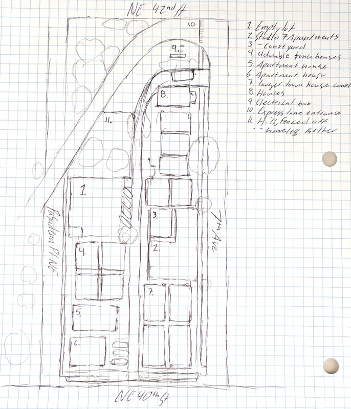
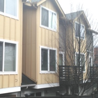
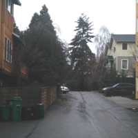
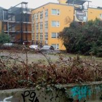
The bridge seems to have had a strong effect on the types and placement of the buildings present on the block. Along the southeast corner are townhouses and a very new apartment building. An alley runs down the center but ends where it is cut off by the express lane. Across the alley from the four townhouses are two older looking and lower apartment buildings. An empty lot sits on the western side bordering Pasadena street and is closest to the express lane. The lot is partially used as parking, presumably by tenants of the new apartment. Directly above the lot underneath the express lane are several tents used by homeless people. This seems to be part of a growing number of homeless people in Seattle possibly due to larger homeless camps like Nickelsville being broken up. I also wonder if the Tent City near the UW will help alleviate the number of homeless living in such dangerous places.
The express lane covers roughly four plots of land in a diagonal path. There are five more small houses along the northeastern side that look to be relatively old compared to the other buildings.
The big apartment building, called Studio 7 Apartments, looks like it was finished very recently and has much more security than the other buildings. It’s small courtyard has a high metal fence with another smaller fence surrounding must of the other sides. It would be interesting to know who the apartment is marketed towards. The building looks modern and expensive, yet the noise level and surroundings would make it less desirable. This might be due to the rising house prices in Seattle that the less than ideal placements are considered. If I can get in it would be interesting to see how loud it is inside.
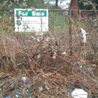
The empty lot raises more questions. A sign on the fence says it's for sale from the Washington State Department of Transportation. Was the land bought when the express lane was built? Why are they selling the land now? Possibly it was only needed for construction but later became unnecessary. The timeline of the block is also interesting. Was the express lane built after the bridge? And which buildings were there before the lane was added? In general I would like to know what this area looked like before so many houses were built and how long has it been a residential neighborhood? A lot of the newer or renovated houses in other blocks are also missing here. Is this because of how the express lanes has affected the construction of new buildings in the area? Were there any geological reasons that this area was selected for the bridge construction?

