Site Report #2: Environmental History
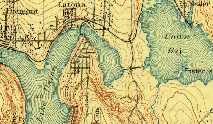
One thing that I found by looking at some earlier maps is that a bridge has spanned Lake Union near my block for a long time. In lecture we looked at a picture of one of the earlier bridges connecting up to what would become the University. This has a lot to do with the geography of the area. Ignoring other man-made canals such as the Montlake cut, where the southern bank juts out is the narrowest section where Lake Union and Portage Bay connect. It is also fairly centrally located which makes it an ideal location for a bridge to be built.
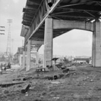
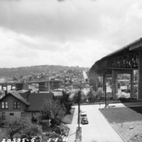
From the images I have found, the creation of the Ship Canal Bridge had a strong effect on the landscape and nature of this area. The large construction project meant that much of the land surrounding the bridge needed to be completely cleared of any trees or rocks and the constant movement of machinery and materials left ground bare and leveled. When construction was finished what appeared to be turf was spread underneath the bridge. For the most part the many of the surrounding houses still remained with modest amounts of trees and backyard greenery.
However, before construction on the Ship Canal Bridge began, the land was already populated with an urban sprawl of houses. Surprisingly, from early photos it seemed that although there were many trees in clumps where houses had not yet been built, the area where houses were located was almost completely void of trees. This suggests that as the city expanded, almost every tree was felled either for wood or simply to better clear the land. This means any trees growing now or at the time of the bridge construction were planted after the houses were built. Almost none of the original trees would still be standing. Houses were not built into nature, the new trees grew around the houses.
The nature of my block was also strongly affected by the addition of the express lane cutting through the upper portion of the block. From aerial photography of the 1930s it seems the area surrounding the entrance was relatively free of much vegetation save for some sparse grass. One reason is that the creation of the ramp meant that a small hill had to be made to facilitate the incline of the smaller bridge. This would again mean clearing any plants in the area and leaving large amounts of upturned earth.
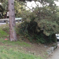
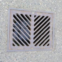
However, returning to the present, it is now this portion of my block that has the most growth. Where house development has been hindered by the express lane, many trees and bushes have begun to grow. The empty lot has also begun to grow new plant life. Here mostly the invasive blackberry thrives as it is particularly resilient and fast growing. On the other hand many of the trees growing are conifers which are indigenous and most likely resembled the trees growing in the forests that previously covered this area. Another aspect of the block that has remained is the incline. Although the landscape was drastically altered in some portions of my block, the overall downward slant remains. This is similar to much of the University district, in part due to it's proximity to the water. A slanted road and Seattle’s weather means water runoff must be considered when building roads and houses to avoid flood. The alley running through my block, for example, slants inward slightly on each side forming a slight channel the end at which sits a small grated drain. Were the heavy rains not taken into account, water could begin to pool and eventually flood basements of nearby houses.

