Site Report 2

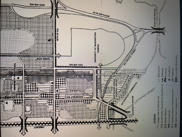
This is a picture of a map of the University district during the 1800's. If you zoom in the the southern end of the map just above pacific street, you can see that there is not much development in my block yet according to the key.

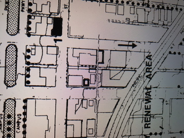
This is a zoomed in picture of my block to show that the Burke Gillman trail was not present until later in the 20th century.
When researching my block about the history of what was there and what occurred there, I came across a few interesting things. One map I found showed a later depiction of my block, prior to 1850, when the University District was just starting to come about. This map shows that my block was pretty vacant before more settlement came about. It was mainly accompanied by a few trees and grass fields that prvided no real purpose. This means that there wasn’t much destruction that was needed to be done before implementing the buildings that were there in the early 1900’s and now. It was probably nice for the developers because they did not have to renovate much, which was very difficult to do back then with the lack of technology. With that being said, this lead to a lot of urban development because they could start putting things they wanted in this area rather than having to work with what was there prior. I believe this is the reason why there are so many buildings with different purposes found at my block.
The biggest difference between my block one hundred or so years prior was the fact that the Burke Gillman trail was not there. The trail used to be a railroad in the late 1800's, unitl later when it became a trail for recreational use. There were many building such as the ones pictured in the zoomed in portion of a University District map that I found in the neighborhood inventories section of Omeka. The buildings were mainly for busineess purposes and they have changed into more student based buildings sihc as dorms and coffee shops. After further research I found that the production of the trail started in 1885, but it had not extended that far south until much later.
Furthermore, there are still natural on-going processes that have been happening such as the vegetation growth of the Burke Gillman trail. This can be found on the Burke Gillman photo that I have provided for this site report. In addition, there are several cracks in the road. This shows that there has not been much work done on the roads and it displays the natural causes of all the different types of weather we get in the Seattle area.
Overall, I found my research to be very interesting and I learned a lot about the U-District as a whole. This was very important to me because after living here for several years, it is refreshing to learn about what happened before us and how we got here.
