SIte Report 2: Environmental History
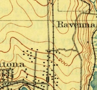
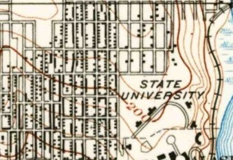
Consulting topographic maps dating back to the late 1890’s, block 49 had very little in the ways of natural surroundings, it was built on a natural incline that lead north to more hills. To its east was the marshland that was to later be filled in and become part of the U-District, as well as the railroad on the now Burke-Gilman trail. There was also what is presumed to be a trolley or rail line that goes down what is now University way which leads me to believe that it was a transport way between Seattle and some of the other communities in the surrounding area. The later maps show that development of the areas followed these paths and built around them, encompassing them into the landscape. The lack of harsh conditions or mountains allowed for easier construction of suburbs.
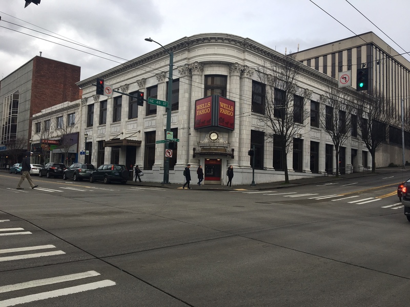
By the late 1910’s, topographic maps show that almost the entire surrounding area had been developed and that the university began taking shape into what it is today. From various sites, my specific block was developed further to help prepare for the world’s fair and one of the first buildings to be built on site was the University State Bank building which is now currently the residence of Wells Fargo. Right before the fair came to Seattle, University way underwent the process to pave and line the sidewalks so that it would be more modern and refined in look. More streetcars were added to the line which lead people to speculate about the growth and development of the region.
Today the area is heavily developed with very little in the ways of natural environment. Save for the trees that now line the Ave, little of the original area is left. It has undergone beautification due to the world’s fair and efforts to clean it up in the late 20th century. The block is still on an incline from the original hill that it was built on and the trees could be reminiscing of what once might have grown there. The oldest building is the bank which was built in 1910, leading it to be one of the older features of the block and could be considered one of its “historical” looks.
link to site used: https://www.seattle.gov/Documents/Departments/Neighborhoods/HistoricPreservation/HistoricResourcesSurvey/context-university-district.pdf


