Site Report #2
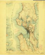
The topographic map that I chose was from USGS Historical Topographic Map Explorer. The map is from 1894 and has a broad overview of University District. The contour lines indicate that the elevation of my block is about 100 feet. University District is near Latona and Latona used to have a bridge. The bridge covered a great distance and Lake Union was underneath it. My block, between Brooklyn Ave. NE and University Way NE as well as NE 47th St. and NE 50th St., was surrounded by lush nature and plenty of trees. The natural topography probably caught the eye of wealthy individuals who wanted to settle into homes that were encircled with a nature-friendly atmosphere. The beautiful nature and relative tranquility attracted soon-to-be families who wanted a peaceful place to reside.
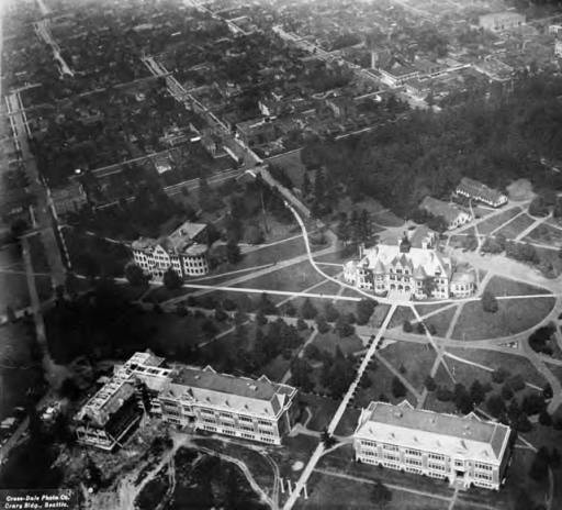
The natural state has been altered over time. I used a photo from 1920 that showed an aerial view of the UW campus along with the University District. More people transitioned into the urban neighborhood of University District and as a result more homes were established. The natural environment transitioned into an urban environment with improving technology such as a car. Streets needed to be paved for the cars and as a result the natural environment was shrinking. Some of the trees were eliminated because new buildings were created for the University of Washington. There were negative environmental effects due to a shift in emphasis from the natural environment to the urban environment. However, there was still some nature around my block and the rest of the University District.
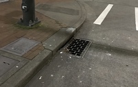
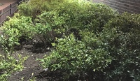
The present environmental scene is not what it used to be. There aren’t as many trees and the area lacks vibrant colors because of all the neutral colors of campus buildings. There are trees that outline the block and there are a few sewer inflows as well. The trees represent the once plentiful amount of nature, while the sewer inflows and slight slope are evidence of the water that was once there. There are bits and pieces of the environment that still remain and these things barely maintain the identity of the block.


