Site Report 2
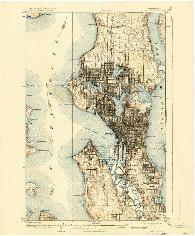
A Topographic Map of the Seattle area in 1894. (Washington State). Taken on 2/1/17. USGS Historical Topographic Map Explorer.

A Topographic Map of the Seattle area in 1909. Taken on 2/1/17. USGS Historical Topographic Map Explorer.
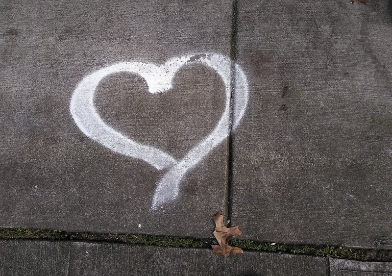
A sidewalk picture on University Way NE between 47th and 50th St. Photograph by Calvin Le. 1/23/17
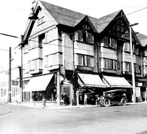
A business during in 1920 located on University Way NE and 40th St. University District (Seattle, WA). Taken 1920. University of Washington Digital Collections. Photograph Collection."
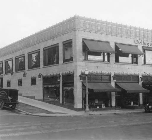
A business during in 1927 located on University Way NE and 47th St. University District (Seattle, WA). Taken 1927. University of Washington Digital Collections. Photograph Collection."
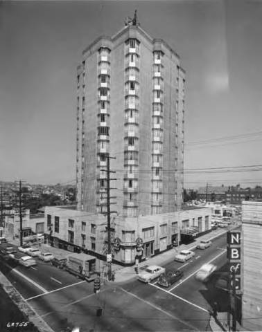
A business during in 1956 located on University Way NE and 45th St. University District (Seattle, WA). Taken 1956. University of Washington Digital Collections. Photograph Collection."
Based on a map dating back to 1894, the area we know as University District today wasn’t as heavily populated or urbanized yet. At this time, the majority of the Washington population was along the coast of Elliott Bay. If somebody wasn’t living in this area, they would most likely be living in Ballard, Fremont, or South Seattle where they’d be alongside a body of water and connected to the main Seattle area by railroads. This was likely because the University District was not a convenient place to travel from the main Seattle area, urbanization of the U-District was delayed. Roads are cars were not created during this time. We can also see this happening fifteen years later in 1909 when the industry in Seattle boomed in many areas around Seattle except for the extremely inconvenient land areas that weren’t easily traveled to.
The natural state of the U-District took a hit when urbanization of the area occurred after 1894. Photographs of businesses during the early twentieth century show the disappearance of green. It was such a short time span in which the natural state was tempered which really shows how quickly the U-District was transformed from it’s natural state to an urbanized area. Even through the late 1900s, you will see that there was a lack of a natural environment in the area. One of the conditions that allow urbanization is getting rid of everything in an area before building on top of it. Plants and animals, hills, and homes had to be removed in order to make room for buildings. Before the 1860s, Native Americans were living in the natural state of the U-District. It’s important to note that removing the Native Americans was also a condition that the white immigrants had to do before urbanization. You wouldn’t be able to recognize that this was the Evergreen State if you were looking through U-District during this time. The few areas of green that you could find were often located on the University campus or in the apartment neighborhoods. The campus, throughout the years, continued to be green even through urbanization.
Although it’s difficult to find signs of the pre-urban landscape in today’s University District, there are small indications that show that yes, there was something here before all this glory. The photo of University Street between 47th and 50th St. there was grass between sidewalk cracks. This was a sign that before the sidewalk was created, the natural environment was located here. Another indication that there was natural environment before urbanization is the grass and plants next to the trees. Nobody in the right mind would grow a tree in concrete. Without concrete in the way, the natural environment was allowed to show itself next to the trees planted in the area.
