Site Report #1: The Deep Read
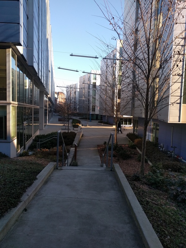
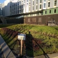
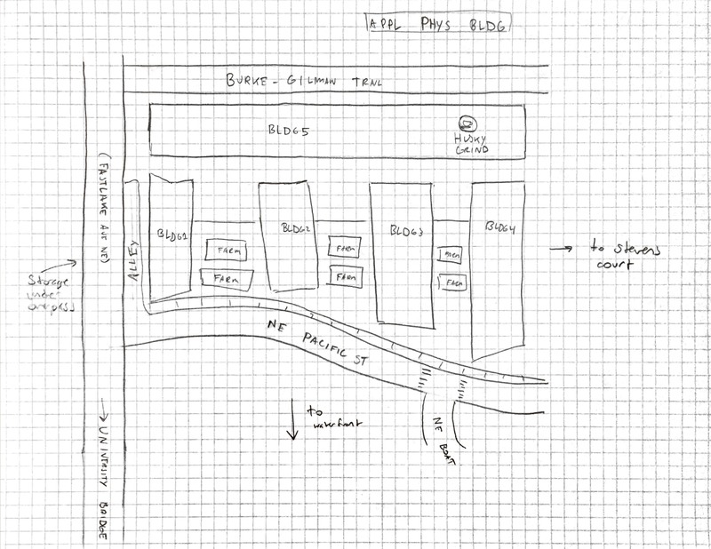
Upon arriving at Mercer Court, I first walked through the Mercer courtyard. The new apartments are a few stories tall, and appear to be made of metal or painted silver. There were fluorescent lights strung from steel cables above, which kept the area well lit. I kept an eye out especially for remnants of past buildings, but had difficulty finding any on the premises because fresh concrete had been poured over the entire area. Landscaping with wood chips covered all dirt areas, and I presume that all previous concrete had been removed prior to building. On the southern end of the block, a series of "UW farms" (gardens) sit next to the sidewalk bordering Pacific St. They sat on a terraced area, which led up to the courtyard level on the north end. The cascading levels opened a path for Sun to pour in from the south and help the plants grow.
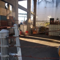
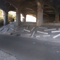
Although much of the area was paved over with new materials, I found some interesting items on the border of the lot. I stumbled into an alleyway next to Mercer Court, on the west edge of the block. There, I found a gated area underneath the University Bridge. I was able to see lots of equipment, much of which looked designed for road repair. The fence and the pavement both looked much older than anything in Mercer Court. Under the bridge along the Burke-Gilman trail was the Wall of Death: a series of parking blocks attached with stakes to a concrete bank.
Exploring the block left me with more questions than answers. Because the lot has been bulldozed and terraformed, I will have to conduct archive research to learn more about its history. While there, I questioned whether this area might have originally been a beach, given its proximity to the water. To the south were a few shops, on the other side of Pacific. I also considered whether this block had originally been a place of commerce. I also thought about what the block's relationship to the bridge was. It's westernmost building is perhaps twenty feet away from the bridge foundations. I believe that the western buildings may be some of the first to occupy this area close to the bridge. It is possible that this plot was only been developed since population has risen in Seattle. I now wonder who lives there today!
I was expecting to find more remnants of previous years activity here. Because there was very little to uncover on the surface, I believe that this area may not have as much history as I had believed. All of the neighboring streets appear very well paved, and it was difficult to ascertain any idea of previous landscapes. I believe that the area has most likely been shaped thoroughly, and I must conduct archive investigations to find older images. I plan to look through Seattle Master Plan documents to find previous landscape features.

