Site Report #2: Environmental History
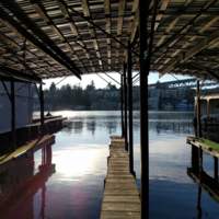
I live fairly close to Mercer Courts, and often find myself drawn to the area surrounding it since my last exploration. The area is close to the water and the Burke Gilman trail, both of which I enjoy visiting. On one occasion, I snuck onto one of the docks and looked over the water. I also take runs along the Burke Gilman, and duck into stairs that branch off of the trail. The entire area seems very untouched by man, but after doing some research, I've realized that much of this environment has been altered. However, in some ways it has been left untouched.
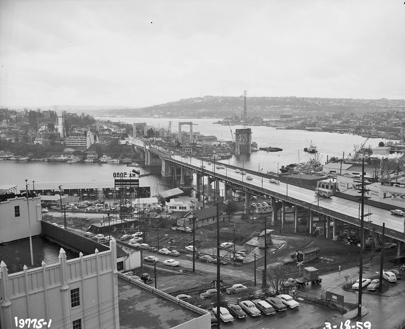
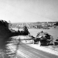
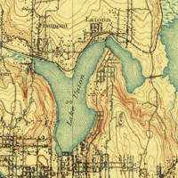
Prior to 1850, one visiting my site would have been able to walk to the Portage Bay shore, and see the lakefront soil disappear into the water (Department of Public Works). In the historical topographic maps, I saw that the shoreline appears very similar. However, there were many less roads during the mid 19th century. In photos from the USGS, I was able to see how little existed in the area, and how my block was virtually untouched. In some photos I found on the Seattle Archives, I was able to see how the area changed over the years -- from the Alaska-Yukon-Pacific Exposition to the building of the University Bridge. An early photo taken from Interlaken Boulevard in 1911 shows the University of Washington as it once stood, and the shoreline below it. Where there are now docks and concrete there once were trees and soil. Photographs taken later from Terry hall provide additional information of how the area near my site in particular developed. In the block that my site now rests on, there was only a dirt parking lot until the 1950s. In my Deep Read, I noted that my block may have been untouched until recently. From digging into these photos and topographical maps, I am able to say that most likely very little was developed until fairly recently.
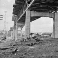
The neighboring University Bridge brought cars -- as people bought automobiles, my block became more valuable to Seattle Citizens as a viable place to live (O'Mara). And as the University of Washington grew, so did the Ave, and the neighborhoods surrounding. The plot of land containing Mercer Court must have risen in value, and became an asset for the University, even though it bordered the University Bridge. Today, Mercer Court bears very little resemblance to the way it once looked. The trees have been cut, and the shoreline has been replaced with roads and docks. It’s hard to see any of the original terrain poking through, but I’ve been able to find sewer grates along the sidewalk and dirt under the University Bridge. I imagined whether some of these items have persisted from the images that I found.
Upon my last visit to the site, I took extra care to find natural presence within my site. One of the things that I noticed was that on public lands, there appeared to be some of the original plants. Along the Burke Gilman and on the bridge there was lots of Ivy and some trees that appeared more unkempt than the rest. I deduced that these plants must have come here naturally, rather than being planted. They made me question what the original terrain might have looked like, even before photographs had been taken of the area. Another thing that I noticed was that the alleyway bordering the University District bridge has remained for decades. I noticed that in an older picture, this dirt road led up to what used to be a railroad where the Burke Gilman now is. I noticed that this road led towards the water, and there are sewer drains along the road. Towards the water, there was a path in the dirt median in the middle of the road, then a dirt path on the other side of the road. This all made me question whether this was original soil, before this area had been paved over with concrete. As I did my research online, I loved being able to think about whether these elements have persisted in this ever evolving urban landscape.

