Site Report 2: Environmental History
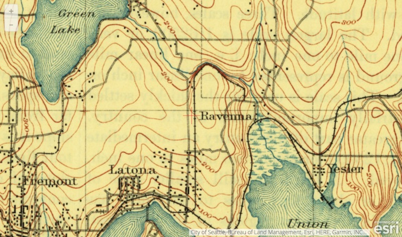
A topographical map of the University District (Seattle, WA) in 1894. City of Seattle, Bureau of Land Management.
Starting in 1894, the University District did not look like much! This may have been due to hills, forest, or possibly wetland creating a hardship for people trying to explore eastward. From the maps I have encountered, it could be all of the reasons I stated above; but like most settlers, nothing was going to stop them from getting to where they wanted to be. From the topographical map (pictured left) it appears that early block 59 was relatively flat compared to most of Seattle. While, yes there were lines on the map in University District, indicating 25 foot increases/decreases along the way, it appears there wasn’t much, if any, artificial recreation of the land (e.g. re-routing of streams/ravines, filling in land, excavating land, etc.); this is why I think the map changed so much between the years of 1894-1911. Without any natural barriers preventing growth in the University District, the population sky-rocketed. Environment allowed for this increasing population and the ability to mass produce hosuing and commericial business without many barriers.
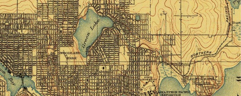
A topographical map of the University District (Seattle, WA) in 1911. George Otis Smith, A. H. Thompson, US Geological Survey.
As seen in the 1894 map, there is a railroad that crosses the University District area, this could be a means of transportation in and out of the city. This railroad could have been another cause to why the growth between the years of 1894-1911 occurred. Environmentally, it appears that block 59 was located on a slight hill with trees covering it completely. The University District seemed to be covered in marshland or hills with an abundance of trees. While there aren’t any pictures of my block exclusively, one could conclude that trees were located all over the hills of the University District area, meaning there were most likely a plentiful amount of trees on block 59 before people inhabited the area.
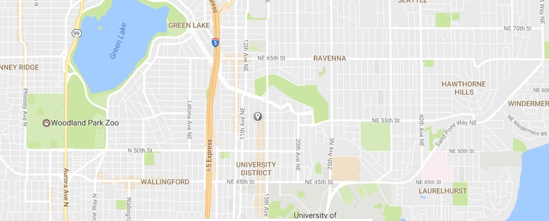
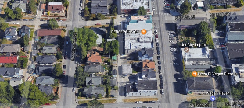
A view of the streets of University District today (pin dropped at block 59). Taken of February 1, 2017, Google Maps, Google Inc.
As people began to inhabit the area (today known as block 59), trees were cut to make room for housing and eventually commercial businesses. It did not appear that waterways ran through my block as it’s located near the top of a hill, and there are no records of extreme excavation of the hills.
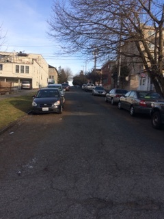
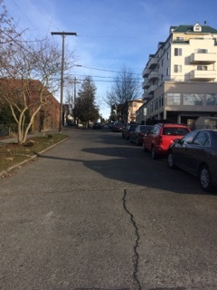
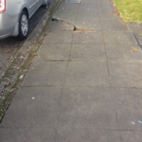
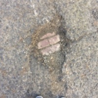
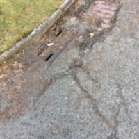
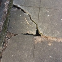
As you can see from these pictures, nature continues to bust through the cracks of city landscape. Potholes bursting through asphalt, tree roots blowing open city sidewalk, and the cracks in the streets that appear to be from running water. Tree’s still plague my block as they grow recklessly when planted (pictured left with the sidewalk being lifted up by tree roots), this reckless growing goes to show that if this area was left unchanged, I believe it would turn into a vast forest once again. Nature still carves this landscape as it did many years ago, the cracks in the streets show small streams of water that are produced during rainfall, and this shines a light into the possible past of run-off streams into a bigger river or lake. My block today remains hilly with trees and greenery growing all around it, which goes to show that you can build a city on nature, but you’ll never get rid of nature entirely.

