Site Report 3: The Audio Tour
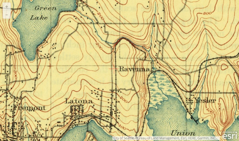
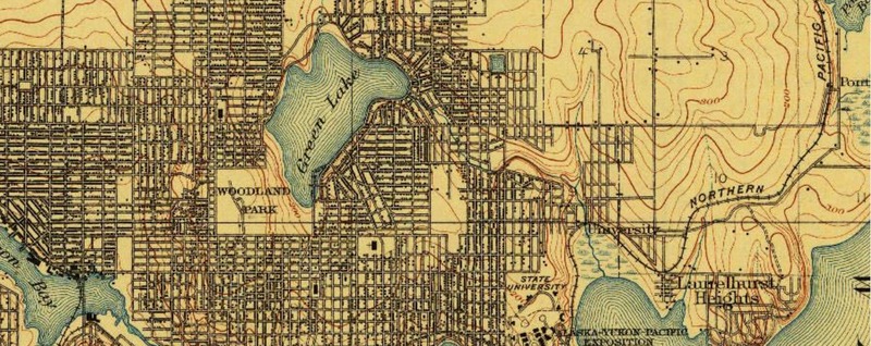
A topographical map of the University District (Seattle, WA) in 1894. City of Seattle, Bureau of Land Management.
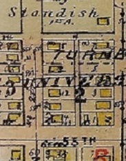
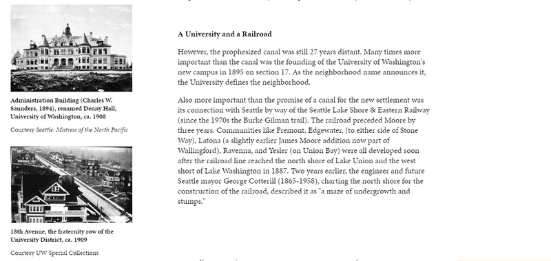
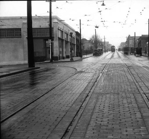
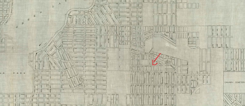
Welcome back to Block 59, one of the many blocks in the University District (Seattle, WA). First, we will talk about changes to Block 59 over the years, and why they happened. Early on, it was hard for new settlers to make it over the many hills to what is now the University District, the trek was difficult and the journey was long. As transportation methods became advanced, such as the railroad, people were able to spread out away from the city, thus the University District was born. In the map of 1894, which encompasses the University District, you can see the lack of infrastructure and non-existent Block 59. As you scroll down you will see a map from 1911 which shows immense growth in the area of the University District, Block 59 is now there. This growth included residential housing and commercial growth on Block 59. This fast moving growth can be attributed to the relocation of the University of Washington as well as the Railroad line (now Burke Gilman Trail) that runs through the University District. Trolleys also played a role in the rapid growth of the University district and the birth of Block 59.
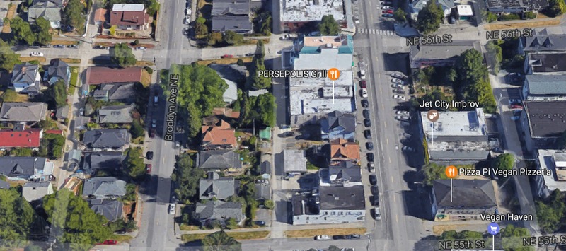
To move on, Block 59 is situated on University Way, this was the HUB for Northward movement from where the State University was now located. Activities such as the University Way Street fair and farmers markets began shaping the way the University District ran. Block 59 had mostly commercial upbringings but it has also featured residential growth over the decades. Block 59 is close to University Way so most of the people living on Block 59 were presumably close to where they work, as well as close to where activities (such as street fairs) were held. Commercial growth and activities shaped my blocks development and rapid growth, which continues to have an effect on it today.
Block 59 Audio Recording done by the author.

