Site report 2
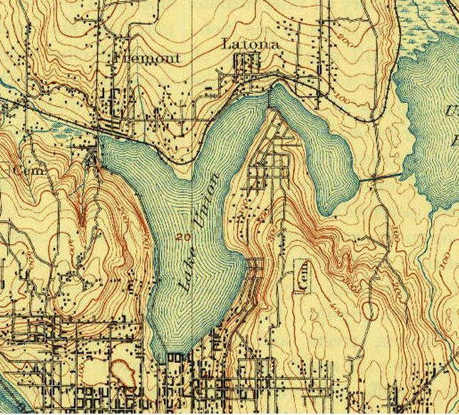
Prior to 1850 the “University District” was the land of Native Americans, surveyors found an Indian trail that lead to native encampments, located on Portage Bay near Brooklyn Ave. The topographical map is from 1894, I had a hard time finding a map before 1850. This map is a zoomed in version of the original, my block is located along Portage Bay.
I think this topography has influenced urban development today because the structure of the University District hasn’t changed a lot, the hills, the lakes (south lake union and lake Washington), the slope, etc. are still the same.
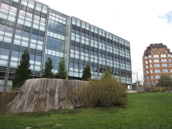
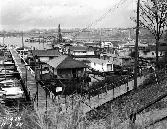
In the 1900’s according to Dean Padelford the Brooklyn area had wooden sidewalks, unpaved streets, houses and stores. The development of the university changed the streets, sidewalks, added new businesses as the university grew and destroyed businesses as they got older. On my block the oceanography, fisheries, and sea grant building were newly constructed.
The natural state of the block is slightly different from prior to 1850 to now, other maps I have seen show a lot of green, a lot of grass and a lot of trees, looking almost like a forest. Although today there is a lot of grass and trees, there isn’t as many, especially on my block. The most trees surrounding my block look replanted.


